8945 Pisgah Covered Bridge Rd Asheboro, NC 27205
Estimated Value: $438,000 - $450,000
--
Bed
--
Bath
1,661
Sq Ft
$266/Sq Ft
Est. Value
About This Home
This home is located at 8945 Pisgah Covered Bridge Rd, Asheboro, NC 27205 and is currently estimated at $442,021, approximately $266 per square foot. 8945 Pisgah Covered Bridge Rd is a home with nearby schools including Sycamore Elementary School, Seagrove Elementary School, and Southwestern Randolph Middle School.
Ownership History
Date
Name
Owned For
Owner Type
Purchase Details
Closed on
Jun 24, 2014
Sold by
Luther Douglas R and Luther Allie O
Bought by
Pendleton Curtiss Raymond and Pendleton Elisabeth Anne
Current Estimated Value
Home Financials for this Owner
Home Financials are based on the most recent Mortgage that was taken out on this home.
Original Mortgage
$30,000
Interest Rate
4.28%
Mortgage Type
Purchase Money Mortgage
Create a Home Valuation Report for This Property
The Home Valuation Report is an in-depth analysis detailing your home's value as well as a comparison with similar homes in the area
Home Values in the Area
Average Home Value in this Area
Purchase History
| Date | Buyer | Sale Price | Title Company |
|---|---|---|---|
| Pendleton Curtiss Raymond | $50,000 | None Available |
Source: Public Records
Mortgage History
| Date | Status | Borrower | Loan Amount |
|---|---|---|---|
| Closed | Pendleton Curtiss Raymond | $30,000 |
Source: Public Records
Tax History Compared to Growth
Tax History
| Year | Tax Paid | Tax Assessment Tax Assessment Total Assessment is a certain percentage of the fair market value that is determined by local assessors to be the total taxable value of land and additions on the property. | Land | Improvement |
|---|---|---|---|---|
| 2025 | $2,101 | $338,510 | $132,380 | $206,130 |
| 2024 | $2,101 | $338,510 | $132,380 | $206,130 |
| 2023 | $2,099 | $338,510 | $132,380 | $206,130 |
| 2022 | $1,664 | $221,060 | $74,930 | $146,130 |
| 2021 | $1,664 | $221,060 | $74,930 | $146,130 |
| 2020 | $1,598 | $221,060 | $74,930 | $146,130 |
| 2019 | $1,598 | $221,060 | $74,930 | $146,130 |
| 2018 | $884 | $119,074 | $65,600 | $53,474 |
| 2016 | $394 | $54,600 | $54,600 | $0 |
| 2015 | $423 | $54,600 | $54,600 | $0 |
| 2014 | -- | $54,880 | $54,880 | $0 |
Source: Public Records
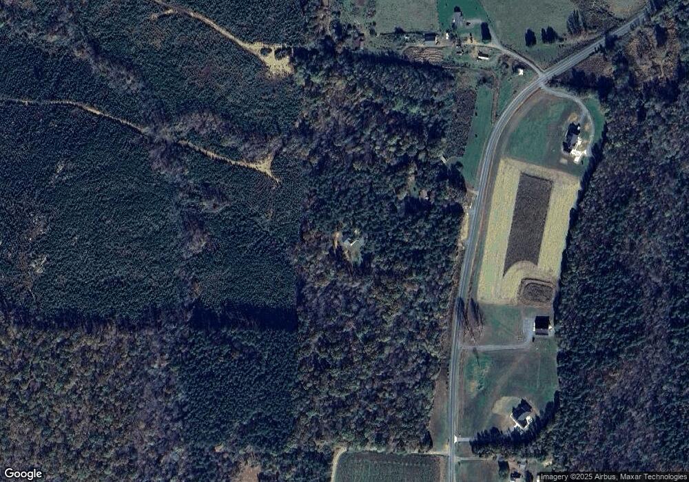
Map
Nearby Homes
- 6517 Mount Lebanon Rd
- 7355 Pisgah Covered Bridge Rd
- 7039 Abner Rd
- 856 Horseshoe Bend Rd
- 5747 Lou Cranford Rd
- 00 High Pine Church Rd
- 5364 Pisgah Covered Bridge Rd
- 5500 Pisgah Covered Bridge Rd
- 2484 Burney Rd
- 6350 Roscoe Rd
- 4026 Oak Tree Rd
- 0 N Carolina 134
- 344 Lucas Rd
- Lot 24 Maple Hill Ct
- 4240 Nc Highway 134
- 001 High Meadow Dr
- Lot 13 Johns Ridge Dr
- 0000 Hwy 49
- 2565 High Meadow Dr
- Lot 12 Johns Ridge Dr
- 8985 Pisgah Covered Bridge Rd
- 8993 Pisgah Covered Bridge Rd
- 8880 Pisgah Covered Bridge Rd
- 9048 Pisgah Covered Bridge Rd
- 8842 Pisgah Covered Bridge Rd
- 8753 Pisgah Covered Bridge Rd
- 4611 Eagles Field Rd
- 8733 Pisgah Covered Bridge Rd
- 8622 Pisgah Covered Bridge Rd
- 6307 High Pine Church Rd
- 6372 High Pine Church Rd
- 6348 High Pine Church Rd
- 6317 High Pine Church Rd
- 4722 Eagles Field Rd
- 8541 Pisgah Covered Bridge Rd
- 6576 High Pine Church Rd
- 6330 King Mtn Rd
- 6728 High Pine Church Rd
- 6835 High Pine Church Rd
- 6676 High Pine Church Rd