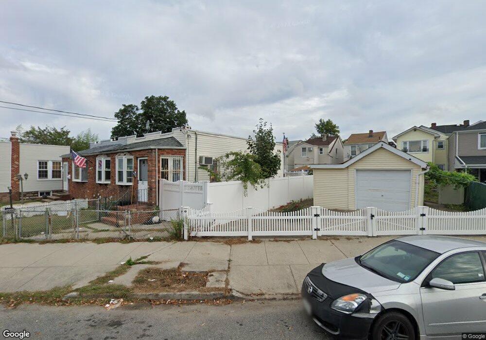
8947 133rd Ave Jamaica, NY 11417
Ozone Park NeighborhoodEstimated Value: $748,000
--
Bed
--
Bath
340
Sq Ft
$2,200/Sq Ft
Est. Value
About This Home
This home is located at 8947 133rd Ave, Jamaica, NY 11417 and is currently estimated at $748,000, approximately $2,200 per square foot. 8947 133rd Ave is a home located in Queens County with nearby schools including P.S. 63 - Old South, Robert H. Goddard High School, and Divine Mercy Catholic Academy.
Ownership History
Date
Name
Owned For
Owner Type
Purchase Details
Closed on
Mar 8, 2022
Sold by
Estate Of Robert Liard and Joseph Loguirato Executor
Bought by
Mahabir Ajay B and Mahabir Paresheuram
Current Estimated Value
Home Financials for this Owner
Home Financials are based on the most recent Mortgage that was taken out on this home.
Original Mortgage
$480,000
Outstanding Balance
$448,323
Interest Rate
3.89%
Mortgage Type
Purchase Money Mortgage
Estimated Equity
$299,677
Create a Home Valuation Report for This Property
The Home Valuation Report is an in-depth analysis detailing your home's value as well as a comparison with similar homes in the area
Home Values in the Area
Average Home Value in this Area
Purchase History
| Date | Buyer | Sale Price | Title Company |
|---|---|---|---|
| Mahabir Ajay B | $600,000 | -- |
Source: Public Records
Mortgage History
| Date | Status | Borrower | Loan Amount |
|---|---|---|---|
| Open | Mahabir Ajay B | $480,000 |
Source: Public Records
Tax History Compared to Growth
Tax History
| Year | Tax Paid | Tax Assessment Tax Assessment Total Assessment is a certain percentage of the fair market value that is determined by local assessors to be the total taxable value of land and additions on the property. | Land | Improvement |
|---|---|---|---|---|
| 2025 | $236 | $1,246 | $474 | $772 |
| 2024 | $236 | $1,176 | $483 | $693 |
| 2023 | $223 | $1,111 | $460 | $651 |
| 2022 | $219 | $3,238 | $1,440 | $1,798 |
| 2021 | $231 | $3,060 | $1,440 | $1,620 |
| 2020 | $220 | $3,060 | $1,440 | $1,620 |
| 2019 | $205 | $2,940 | $1,440 | $1,500 |
| 2018 | $189 | $926 | $494 | $432 |
| 2017 | $187 | $915 | $523 | $392 |
| 2016 | $183 | $915 | $523 | $392 |
| 2015 | $104 | $865 | $538 | $327 |
| 2014 | $104 | $817 | $508 | $309 |
Source: Public Records
Map
Nearby Homes
- 9108 Sutter Ave
- 91-25 Gold Rd
- 132-18 89th St
- 8837 Pitkin Ave
- 8851 Pitkin Ave
- 84-07 Sutter Ave
- 107-62 93rd St
- 10751 89th St
- 107-50 90th St
- 13319 Crossbay Blvd
- 90-28 Pitkin Ave Unit 1,2 and 3
- 107-20 92nd St
- 9426 Sutter Ave
- 9439 134th Ave
- 13716 88th St
- 8812 Albert Rd
- 13723 Lafayette St
- 133-28 86th St
- 10724 87th St
- 133-42 86th St
- 8945 Gold Rd
- 8943 Gold Rd
- 9034 Silver Rd
- 9032 Silver Rd
- 9036 Silver Rd
- 9030 Silver Rd
- 90-28 Silver Rd
- 90-32 Silver Rd Unit 2
- 90-32 Silver Rd
- 9040 Silver Rd
- 9028 Silver Rd
- 8939 Gold Rd
- 90-40 Silver Rd
- 9026 Silver Rd
- 89-37 Gold Rd
- 9024 Silver Rd
- 8957 Gold Rd Unit 1st Floor
- 8957 Gold Rd
- 8937 Gold Rd
- 89-57 Gold Rd Unit 1ST FL