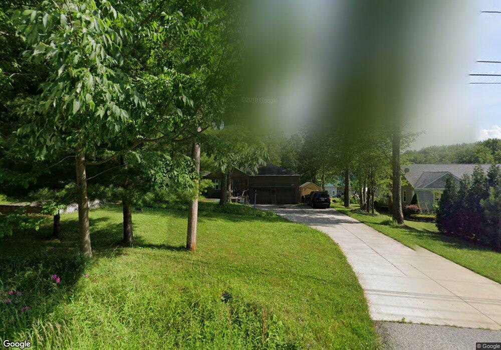
8947 Cedar Rd Chesterland, OH 44026
Estimated Value: $291,092 - $314,000
3
Beds
4
Baths
1,448
Sq Ft
$209/Sq Ft
Est. Value
About This Home
This home is located at 8947 Cedar Rd, Chesterland, OH 44026 and is currently estimated at $302,523, approximately $208 per square foot. 8947 Cedar Rd is a home located in Geauga County with nearby schools including West Geauga High School and St Anselm School.
Ownership History
Date
Name
Owned For
Owner Type
Purchase Details
Closed on
Sep 13, 2002
Sold by
Manning Thomas P and Manning Carolyn
Bought by
Shelton Andrew P and Shelton Pamela A
Current Estimated Value
Home Financials for this Owner
Home Financials are based on the most recent Mortgage that was taken out on this home.
Original Mortgage
$151,590
Outstanding Balance
$64,063
Interest Rate
6.4%
Mortgage Type
FHA
Estimated Equity
$238,460
Purchase Details
Closed on
Jan 31, 1997
Sold by
Manning Susan D and Baker Susan D
Bought by
Manning Thomas P
Purchase Details
Closed on
Jun 29, 1995
Sold by
Farinacci Babette D
Bought by
Manning Thomas P and Baker Susan D
Home Financials for this Owner
Home Financials are based on the most recent Mortgage that was taken out on this home.
Original Mortgage
$118,750
Interest Rate
6.13%
Mortgage Type
New Conventional
Purchase Details
Closed on
Jul 28, 1992
Bought by
Farinacci Babette D
Create a Home Valuation Report for This Property
The Home Valuation Report is an in-depth analysis detailing your home's value as well as a comparison with similar homes in the area
Home Values in the Area
Average Home Value in this Area
Purchase History
| Date | Buyer | Sale Price | Title Company |
|---|---|---|---|
| Shelton Andrew P | $154,000 | Lawyers Title Ins Corp | |
| Manning Thomas P | -- | -- | |
| Manning Thomas P | $125,000 | -- | |
| Farinacci Babette D | $100,000 | -- |
Source: Public Records
Mortgage History
| Date | Status | Borrower | Loan Amount |
|---|---|---|---|
| Open | Shelton Andrew P | $151,590 | |
| Previous Owner | Manning Thomas P | $118,750 |
Source: Public Records
Tax History Compared to Growth
Tax History
| Year | Tax Paid | Tax Assessment Tax Assessment Total Assessment is a certain percentage of the fair market value that is determined by local assessors to be the total taxable value of land and additions on the property. | Land | Improvement |
|---|---|---|---|---|
| 2024 | $3,012 | $79,590 | $12,600 | $66,990 |
| 2023 | $3,012 | $79,590 | $12,600 | $66,990 |
| 2022 | $2,893 | $57,510 | $10,500 | $47,010 |
| 2021 | $2,884 | $57,510 | $10,500 | $47,010 |
| 2020 | $2,998 | $57,510 | $10,500 | $47,010 |
| 2019 | $2,472 | $45,820 | $10,500 | $35,320 |
| 2018 | $2,750 | $51,380 | $10,500 | $40,880 |
| 2017 | $2,472 | $45,820 | $10,500 | $35,320 |
| 2016 | $2,654 | $46,490 | $10,190 | $36,300 |
| 2015 | $2,539 | $46,490 | $10,190 | $36,300 |
| 2014 | $2,458 | $46,490 | $10,190 | $36,300 |
| 2013 | $2,964 | $46,490 | $10,190 | $36,300 |
Source: Public Records
Map
Nearby Homes
- 8735 Cedar Rd
- 8949 Ranch Dr
- 8547 Camelot Dr
- 0 Cedar Rd
- 9502 Winchester Valley
- 8701 Mayfield Rd Unit 194
- 8986 Fairmount Rd
- 13031 Dorothy Dr
- 13610 Sperry Rd
- 9475 Mayfield Rd
- 13655 Sperry Rd
- 9448 Mayfield Rd
- 13339 Hickory St
- 0 Hickory St
- 12790 Heath Rd
- 13170 Caves Rd
- 7730 Cedar Rd
- 7775 Woodlands Trail
- 14545 Shire Ct
- 7586 Cedar Rd
- 8933 Cedar Rd
- 8965 Cedar Rd
- 8977 Cedar Rd
- 8909 Cedar Rd
- 8985 Cedar Rd
- 8997 Cedar Rd
- 8891 Cedar Rd
- 13313 Lakewood Dr
- 8990 Cedar Rd
- 9019 Cedar Rd
- 8954 Cedar Rd
- 9010 Cedar Rd
- 9031 Cedar Rd
- 13345 Lakewood Dr
- 9030 Cedar Rd
- 8845 Cedar Rd
- 13361 Lakewood Dr
- 9053 Cedar Rd
- 0 Cedar Rd Unit 3189029
- 9046 Cedar Rd