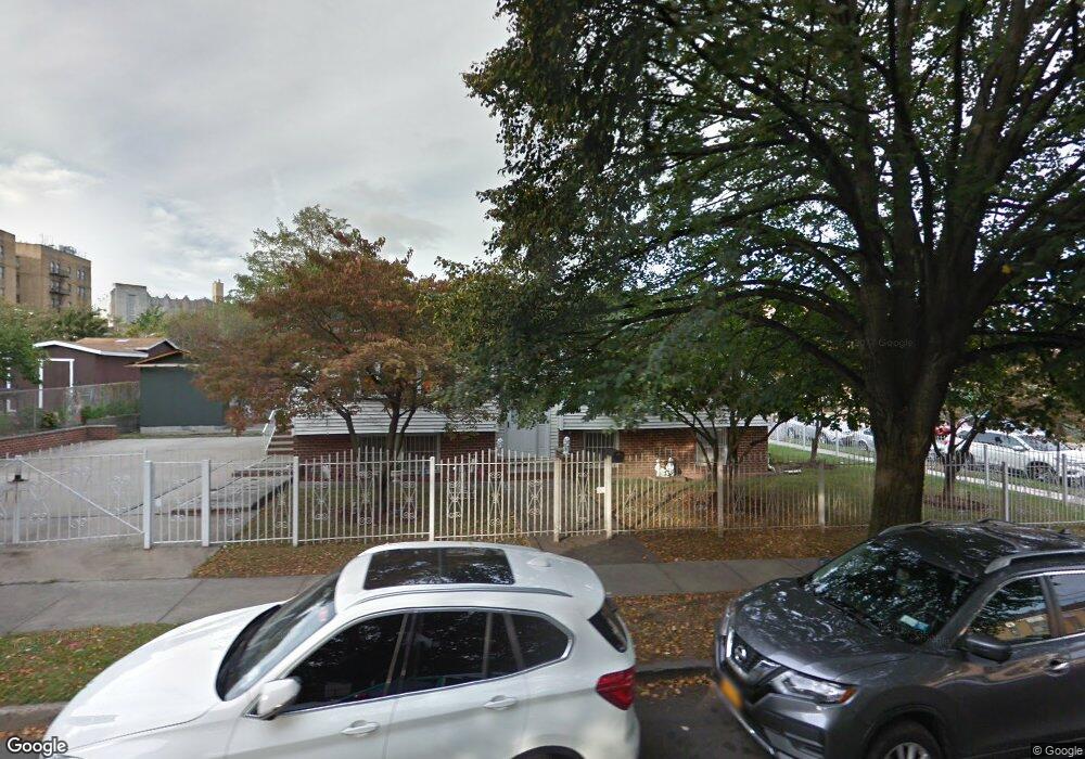
895 E 172nd St Bronx, NY 10460
Crotona Park East NeighborhoodEstimated Value: $711,999 - $878,000
Studio
--
Bath
2,416
Sq Ft
$335/Sq Ft
Est. Value
About This Home
This home is located at 895 E 172nd St, Bronx, NY 10460 and is currently estimated at $810,000, approximately $335 per square foot. 895 E 172nd St is a home located in Bronx County with nearby schools including P.S. 61 - Francisco Oller, P.S. 214, and St. John Chrysostom School.
Ownership History
Date
Name
Owned For
Owner Type
Purchase Details
Closed on
Sep 25, 1987
Sold by
Charlotte Grdns Hsing Dv
Bought by
Ortiz Digna L and Ortiz Ramon
Current Estimated Value
Home Financials for this Owner
Home Financials are based on the most recent Mortgage that was taken out on this home.
Original Mortgage
$28,882
Interest Rate
10.97%
Create a Home Valuation Report for This Property
The Home Valuation Report is an in-depth analysis detailing your home's value as well as a comparison with similar homes in the area
Home Values in the Area
Average Home Value in this Area
Purchase History
| Date | Buyer | Sale Price | Title Company |
|---|---|---|---|
| Ortiz Digna L | -- | -- | |
| Ortiz Digna L | -- | -- |
Source: Public Records
Mortgage History
| Date | Status | Borrower | Loan Amount |
|---|---|---|---|
| Closed | Ortiz Digna L | $28,882 | |
| Closed | Ortiz Digna L | $46,000 |
Source: Public Records
Tax History Compared to Growth
Tax History
| Year | Tax Paid | Tax Assessment Tax Assessment Total Assessment is a certain percentage of the fair market value that is determined by local assessors to be the total taxable value of land and additions on the property. | Land | Improvement |
|---|---|---|---|---|
| 2025 | $4,798 | $29,856 | $8,022 | $21,834 |
| 2024 | $4,798 | $28,166 | $7,082 | $21,084 |
| 2023 | $4,851 | $28,166 | $7,237 | $20,929 |
| 2022 | $4,718 | $37,380 | $10,560 | $26,820 |
| 2021 | $4,641 | $35,700 | $10,560 | $25,140 |
| 2020 | $4,361 | $32,100 | $10,560 | $21,540 |
| 2019 | $4,015 | $28,800 | $10,560 | $18,240 |
| 2018 | $3,900 | $23,472 | $8,865 | $14,607 |
| 2017 | $4,151 | $23,294 | $9,738 | $13,556 |
| 2016 | $3,805 | $21,976 | $9,943 | $12,033 |
| 2015 | $2,671 | $20,733 | $7,795 | $12,938 |
| 2014 | $2,671 | $19,560 | $8,820 | $10,740 |
Source: Public Records
Map
Nearby Homes
- 1455 Seabury Place
- 1574 Crotona Park E
- 1538 Hoe Ave
- 1405 Louis Niñé Blvd
- 1485 Bryant Ave
- 1518 Bryant Ave
- 837 Jennings St
- 1361 Intervale Ave
- 1552 Bryant Ave
- 1495 Longfellow Ave
- 1568 Bryant Ave
- 815 E 170th St
- 1456 Bryant Ave
- 807 E 170th St
- 1567 Longfellow Ave
- 1333 Bristow St
- 1670 Longfellow Ave Unit 4A
- 1670 Longfellow Ave Unit 3J
- 1321 Bristow St
- 1333 Chisholm St
- 1535 Minford Place
- 885 E 172nd St
- 1524 Seabury Place
- 890 E 172nd St
- 1541 Minford Place
- 1520 Minford Place
- 1528 Minford Place
- 1530 Seabury Place
- 880 E 172nd St
- 880 E 172nd St Unit 1
- 1530 Minford Place
- 1532 Minford Place
- 1474 Minford Place
- 1536 Minford Place
- 1472 Minford Place
- 1545 Minford Place
- 1465 Minford Place
- 1470 Minford Place
- 1540 Seabury Place
- 1538 Minford Place
