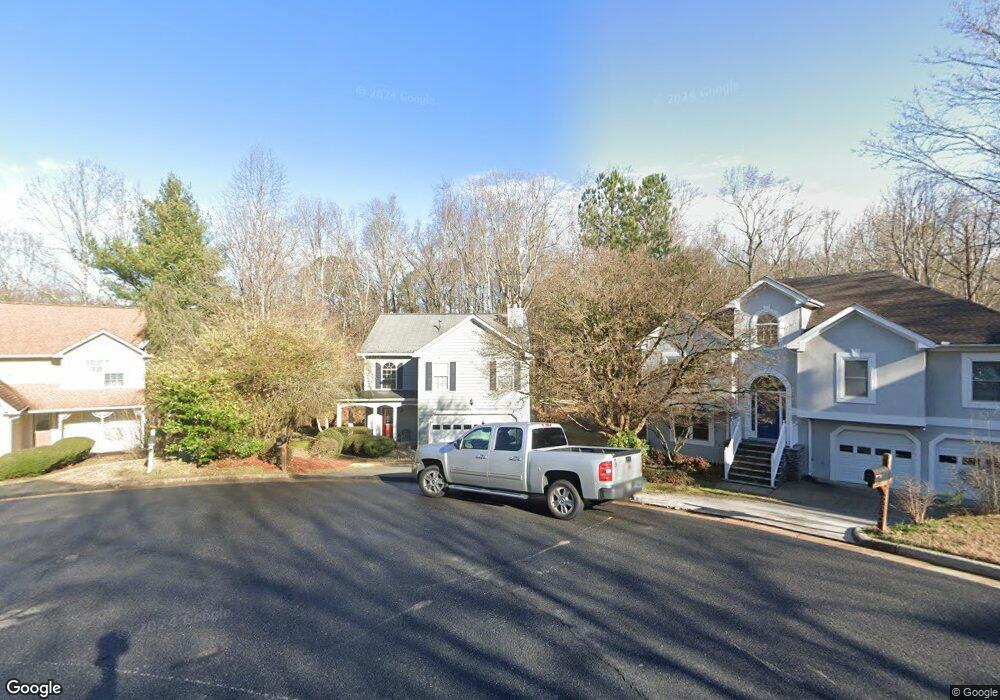
895 Long Branch Cir Unit 1 Sugar Hill, GA 30518
Estimated Value: $383,000 - $414,000
3
Beds
3
Baths
1,926
Sq Ft
$209/Sq Ft
Est. Value
About This Home
This home is located at 895 Long Branch Cir Unit 1, Sugar Hill, GA 30518 and is currently estimated at $403,057, approximately $209 per square foot. 895 Long Branch Cir Unit 1 is a home located in Gwinnett County with nearby schools including Sugar Hill Elementary School, Lanier Middle School, and Lanier High School.
Ownership History
Date
Name
Owned For
Owner Type
Purchase Details
Closed on
Dec 2, 1998
Sold by
Rode Sheri
Bought by
Rode Sheri C and Rode Joseph T
Current Estimated Value
Purchase Details
Closed on
Jun 27, 1997
Sold by
Our Generations Inc
Bought by
Covington Sheri
Home Financials for this Owner
Home Financials are based on the most recent Mortgage that was taken out on this home.
Original Mortgage
$102,051
Interest Rate
7.92%
Mortgage Type
FHA
Create a Home Valuation Report for This Property
The Home Valuation Report is an in-depth analysis detailing your home's value as well as a comparison with similar homes in the area
Home Values in the Area
Average Home Value in this Area
Purchase History
| Date | Buyer | Sale Price | Title Company |
|---|---|---|---|
| Rode Sheri C | -- | -- | |
| Covington Sheri | $102,500 | -- |
Source: Public Records
Mortgage History
| Date | Status | Borrower | Loan Amount |
|---|---|---|---|
| Previous Owner | Covington Sheri | $102,051 |
Source: Public Records
Tax History Compared to Growth
Tax History
| Year | Tax Paid | Tax Assessment Tax Assessment Total Assessment is a certain percentage of the fair market value that is determined by local assessors to be the total taxable value of land and additions on the property. | Land | Improvement |
|---|---|---|---|---|
| 2025 | $492 | $150,240 | $34,000 | $116,240 |
| 2024 | $454 | $146,520 | $32,000 | $114,520 |
| 2023 | $454 | $147,320 | $28,000 | $119,320 |
| 2022 | $490 | $123,400 | $24,000 | $99,400 |
| 2021 | $454 | $96,680 | $18,400 | $78,280 |
| 2020 | $2,496 | $87,760 | $18,400 | $69,360 |
| 2019 | $2,246 | $79,640 | $16,000 | $63,640 |
| 2018 | $2,149 | $75,440 | $12,800 | $62,640 |
| 2016 | $2,091 | $67,600 | $12,800 | $54,800 |
| 2015 | $1,955 | $61,680 | $10,000 | $51,680 |
| 2014 | $1,937 | $60,640 | $10,000 | $50,640 |
Source: Public Records
Map
Nearby Homes
- 850 Long Branch Cir
- 870 Long Branch Cir
- 965 Under Ct
- 5248 Arbor View Ln
- 5229 Pine Branch Ct
- 5381 Front Runner Ct
- 5166 Thorin Oak Cir Unit 7
- 1135 Chastain Dr
- 965 Garner Spring Ln
- 1181 Chastain Dr
- The Ellison II Plan at Ellison Square
- The Norwood II Plan at Ellison Square
- The Maddux II Plan at Ellison Square
- 5109 Dogwood Hills Dr
- 5059 Hidden Branch Dr
- 384 Sunset Hollow St Unit 2
- 384 Sunset Hollow St
- 5557 Pinedale Cir
- 5152 Park Vale Dr
- 581 Sweetfern Ln
- 890 Long Branch Cir Unit 20
- 890 Long Branch Cir
- 885 Long Branch Cir
- 875 Long Branch Cir
- 5346 Under Way
- 860 Long Branch Cir
- 865 Long Branch Cir
- 5315 Arbor View Way Unit 1
- 5336 Under Way
- 850 Long Branch Cir Unit 11
- 5255 Arbor View Way
- 855 Long Branch Cir
- 0 Long Branch Cir Unit 7368202
- 0 Long Branch Cir Unit 8069028
- 0 Long Branch Cir Unit 8287657
- 0 Long Branch Cir Unit 8246867
- 0 Long Branch Cir Unit 8010198
- 0 Long Branch Cir Unit 7420163
- 5325 Arbor View Way
- 5245 Arbor View Way