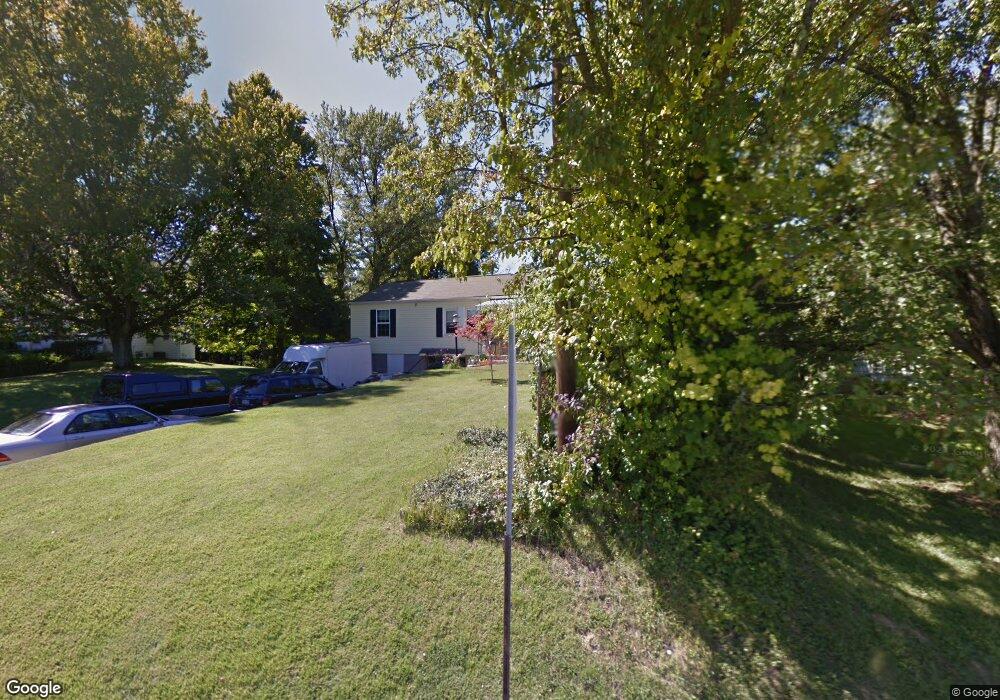
895 Martini Rd Cincinnati, OH 45233
Cotillion Village NeighborhoodEstimated Value: $213,417 - $312,000
2
Beds
1
Bath
1,332
Sq Ft
$196/Sq Ft
Est. Value
About This Home
This home is located at 895 Martini Rd, Cincinnati, OH 45233 and is currently estimated at $260,854, approximately $195 per square foot. 895 Martini Rd is a home located in Hamilton County with nearby schools including John Foster Dulles Elementary School, Rapid Run Middle School, and Oak Hills High School.
Ownership History
Date
Name
Owned For
Owner Type
Purchase Details
Closed on
Jun 11, 2010
Sold by
Diekman Kathleen R and Diekman Michael A
Bought by
Schmidt Mark D
Current Estimated Value
Purchase Details
Closed on
Jun 1, 2010
Sold by
Estate Of Rosemary Schmidt
Bought by
Schmidt Dennis J and Schmidt Mark D
Create a Home Valuation Report for This Property
The Home Valuation Report is an in-depth analysis detailing your home's value as well as a comparison with similar homes in the area
Home Values in the Area
Average Home Value in this Area
Purchase History
| Date | Buyer | Sale Price | Title Company |
|---|---|---|---|
| Schmidt Mark D | $25,000 | None Available | |
| Schmidt Mark D | $25,000 | None Available | |
| Schmidt Dennis J | -- | None Available |
Source: Public Records
Tax History
| Year | Tax Paid | Tax Assessment Tax Assessment Total Assessment is a certain percentage of the fair market value that is determined by local assessors to be the total taxable value of land and additions on the property. | Land | Improvement |
|---|---|---|---|---|
| 2025 | $2,555 | $53,068 | $15,649 | $37,419 |
| 2023 | $2,553 | $53,068 | $15,649 | $37,419 |
| 2022 | $1,489 | $31,473 | $11,134 | $20,339 |
| 2021 | $1,447 | $31,473 | $11,134 | $20,339 |
| 2020 | $1,482 | $31,473 | $11,134 | $20,339 |
| 2019 | $1,516 | $29,691 | $10,504 | $19,187 |
| 2018 | $1,518 | $29,691 | $10,504 | $19,187 |
| 2017 | $1,946 | $29,691 | $10,504 | $19,187 |
| 2016 | $2,017 | $30,846 | $11,312 | $19,534 |
| 2015 | $2,020 | $30,846 | $11,312 | $19,534 |
| 2014 | $2,022 | $30,846 | $11,312 | $19,534 |
| 2013 | $1,802 | $29,187 | $11,907 | $17,280 |
Source: Public Records
Map
Nearby Homes
- 665 Fox Trails Way
- 6551 Cleves Warsaw Pike
- 6721 Hillside Ave
- 133 Meridian St
- 6723 Daniels Walk
- 524 Trison Dr
- 6278 Gardenlake Ct
- 6855 Sayler Ave
- 1259 Wexford Ln
- 1287 Heather Ridge
- 7027 Gracely Dr
- 6132 Cleves Warsaw Pike Unit 9
- 7026 River Rd
- 2223 van Blaricum Rd
- 7126 River Rd
- 815 Westview Dr
- Lot 28 Southpointe Dr
- 6009 Cleves Warsaw Pike
- 1711 Ebenezer Rd
- 1538 Tanner Rd
Your Personal Tour Guide
Ask me questions while you tour the home.