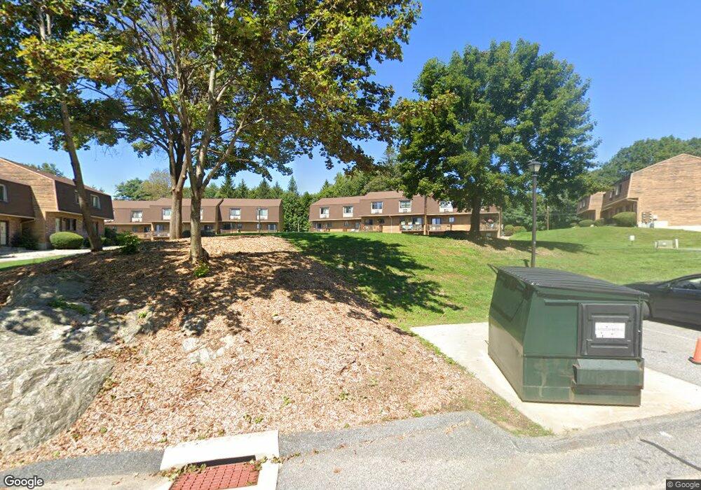
895 Matthews St Unit 49 Bristol, CT 06010
North Bristol NeighborhoodEstimated Value: $201,000 - $214,000
2
Beds
2
Baths
972
Sq Ft
$214/Sq Ft
Est. Value
About This Home
This home is located at 895 Matthews St Unit 49, Bristol, CT 06010 and is currently estimated at $207,981, approximately $213 per square foot. 895 Matthews St Unit 49 is a home located in Hartford County with nearby schools including West Bristol Sch, Bristol Central High School, and Immanuel Lutheran School.
Ownership History
Date
Name
Owned For
Owner Type
Purchase Details
Closed on
May 30, 2002
Sold by
Douglas Lynn E
Bought by
Lukavic Denise M
Current Estimated Value
Home Financials for this Owner
Home Financials are based on the most recent Mortgage that was taken out on this home.
Original Mortgage
$74,250
Interest Rate
7%
Mortgage Type
Purchase Money Mortgage
Purchase Details
Closed on
Dec 16, 1988
Sold by
Matthews St Assoc
Bought by
Douglas Lynn E
Create a Home Valuation Report for This Property
The Home Valuation Report is an in-depth analysis detailing your home's value as well as a comparison with similar homes in the area
Home Values in the Area
Average Home Value in this Area
Purchase History
| Date | Buyer | Sale Price | Title Company |
|---|---|---|---|
| Lukavic Denise M | $82,500 | -- | |
| Douglas Lynn E | $87,000 | -- |
Source: Public Records
Mortgage History
| Date | Status | Borrower | Loan Amount |
|---|---|---|---|
| Open | Douglas Lynn E | $33,000 | |
| Open | Douglas Lynn E | $108,000 | |
| Closed | Douglas Lynn E | $10,000 | |
| Closed | Douglas Lynn E | $74,250 |
Source: Public Records
Tax History
| Year | Tax Paid | Tax Assessment Tax Assessment Total Assessment is a certain percentage of the fair market value that is determined by local assessors to be the total taxable value of land and additions on the property. | Land | Improvement |
|---|---|---|---|---|
| 2025 | $3,506 | $103,880 | $0 | $103,880 |
| 2024 | $3,309 | $103,880 | $0 | $103,880 |
| 2023 | $3,153 | $103,880 | $0 | $103,880 |
| 2022 | $2,301 | $59,990 | $0 | $59,990 |
| 2021 | $2,301 | $59,990 | $0 | $59,990 |
| 2020 | $2,301 | $59,990 | $0 | $59,990 |
| 2019 | $2,283 | $59,990 | $0 | $59,990 |
| 2018 | $2,212 | $59,990 | $0 | $59,990 |
| 2017 | $2,550 | $70,770 | $0 | $70,770 |
| 2016 | $2,550 | $70,770 | $0 | $70,770 |
| 2015 | $2,449 | $70,770 | $0 | $70,770 |
| 2014 | $2,449 | $70,770 | $0 | $70,770 |
Source: Public Records
Map
Nearby Homes
- 565 Clark Ave Unit 13
- 565 Clark Ave Unit 56
- 565 Clark Ave Unit 78
- 820 Matthews St Unit 19
- 441 Clark Ave Unit 5
- 735 Matthews St
- 23 Lynn Ave
- 26 Martin Rd
- 23 E Hill St
- Lots 16, 18 and 22 E Hill St
- 2 Sandra Ave
- 2 Gino Dr
- 65 Gino Dr
- 62 Gino Dr
- 66 Gino Dr
- 64 Bushnell St
- 78 Kearney St
- 88 Barlow St
- 11 William St
- 16 Smith St
- 895 Matthews St Unit 56
- 895 Matthews St Unit 62
- 895 Matthews St Unit 61
- 895 Matthews St Unit 60
- 895 Matthews St Unit 59
- 895 Matthews St Unit 58
- 895 Matthews St Unit 57
- 895 Matthews St Unit 55
- 895 Matthews St Unit 54
- 895 Matthews St Unit 53
- 895 Matthews St Unit 52
- 895 Matthews St Unit 51
- 895 Matthews St Unit 50
- 895 Matthews St Unit 48
- 895 Matthews St Unit 47
- 895 Matthews St Unit 45
- 895 Matthews St Unit 44
- 895 Matthews St Unit 43
- 895 Matthews St Unit 42
- 895 Matthews St Unit 41
Your Personal Tour Guide
Ask me questions while you tour the home.