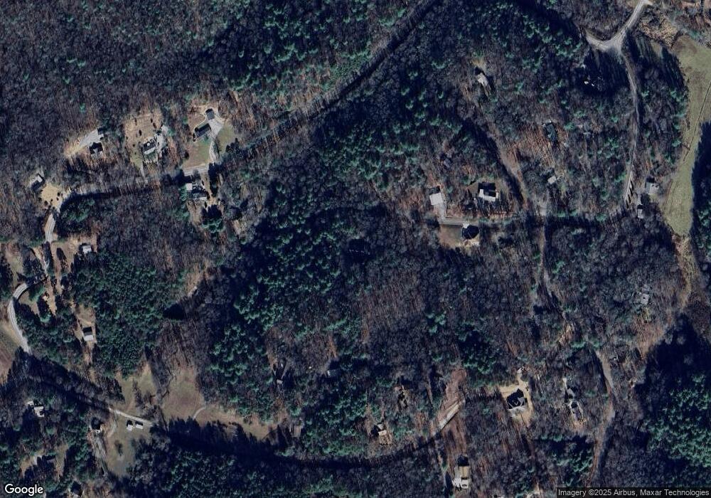
895 Picnic Way Murphy, NC 28906
Estimated Value: $285,000 - $348,000
3
Beds
2
Baths
1,367
Sq Ft
$235/Sq Ft
Est. Value
About This Home
This home is located at 895 Picnic Way, Murphy, NC 28906 and is currently estimated at $321,811, approximately $235 per square foot. 895 Picnic Way is a home located in Cherokee County with nearby schools including Murphy Elementary School, Murphy Middle School, and Murphy High School.
Ownership History
Date
Name
Owned For
Owner Type
Purchase Details
Closed on
Oct 21, 2020
Sold by
Secretary Of Housing & Urban Development
Bought by
Ingram Brian
Current Estimated Value
Home Financials for this Owner
Home Financials are based on the most recent Mortgage that was taken out on this home.
Original Mortgage
$170,455
Outstanding Balance
$151,334
Interest Rate
2.8%
Mortgage Type
FHA
Estimated Equity
$170,477
Purchase Details
Closed on
May 15, 2020
Sold by
Cluverius Carol L
Bought by
Secretary Of Housing And Urban Dev
Purchase Details
Closed on
Mar 5, 2006
Sold by
Kendrick Barbara A and Kendrick Daniel H
Bought by
Cluverius Joseph L and Cluverius Carol L
Create a Home Valuation Report for This Property
The Home Valuation Report is an in-depth analysis detailing your home's value as well as a comparison with similar homes in the area
Home Values in the Area
Average Home Value in this Area
Purchase History
| Date | Buyer | Sale Price | Title Company |
|---|---|---|---|
| Ingram Brian | -- | None Available | |
| Secretary Of Housing And Urban Dev | -- | None Available | |
| Cluverius Joseph L | $13,500 | -- |
Source: Public Records
Mortgage History
| Date | Status | Borrower | Loan Amount |
|---|---|---|---|
| Open | Ingram Brian | $170,455 |
Source: Public Records
Tax History
| Year | Tax Paid | Tax Assessment Tax Assessment Total Assessment is a certain percentage of the fair market value that is determined by local assessors to be the total taxable value of land and additions on the property. | Land | Improvement |
|---|---|---|---|---|
| 2025 | $1,066 | $152,270 | $0 | $0 |
| 2024 | $11 | $152,270 | $0 | $0 |
| 2023 | $1,056 | $152,270 | $0 | $0 |
| 2022 | $1,056 | $152,270 | $0 | $0 |
| 2021 | $888 | $152,270 | $11,500 | $140,770 |
| 2020 | $827 | $152,270 | $0 | $0 |
| 2019 | $960 | $158,550 | $0 | $0 |
| 2018 | $960 | $158,550 | $0 | $0 |
| 2017 | $958 | $158,200 | $0 | $0 |
| 2016 | $522 | $158,200 | $0 | $0 |
| 2015 | $522 | $158,200 | $42,000 | $116,200 |
| 2012 | -- | $158,200 | $42,000 | $116,200 |
Source: Public Records
Map
Nearby Homes
- 414 Mulkey Dr
- 2.28 ac Midway Creek Rd
- 312 Mountain Dr
- 79 Mashie Ln
- 71 Martin Hills Dr
- LOT 8 Red Silo Estates
- 2153 Martins Creek Rd
- 211 Harshaw Rd
- 138 Morgan Hill Rd
- 55 Ridgeline Rd
- 320 Ridgeline Rd
- 2.71 ac Ridgeline Rd
- 12 Vista Cir
- Lot 12 Harshaw Farm Dr
- Lot #94 River Mountain Rd
- Lot 89 River Mountain Rd
- 45 Mountain Stream Rd
- 0 Dewey Ln Unit 417027
- 0 Dewey Ln
- LOT 144 River Farm Dr
- 895 Picnic Way
- 895 Picnic Way
- 0000 Picnic Way
- 000 Picnic Way
- 0 Picnic Way
- 11&12 Picnic Way
- 12H &11H Picnic Way
- 00 Picnic Way
- 893 Picnic Way
- 900 Picnic Way
- 900 Picnic Way
- 0 Hampton Ave Unit 127426
- 0 Hampton Ave Unit 314040
- 59 Bunker Place
- 59 Bunker Place
- 386 Blackberry Bend
- 386 Blackberry Bend
- 152 Blackberry Bend
- 150 Blackberry Bend
- LOT 8 Hampton Ave
