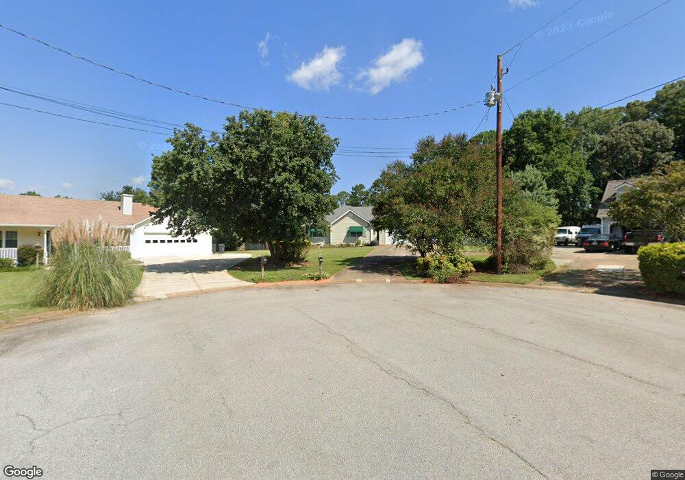
895 Rutherford Dr Dacula, GA 30019
Estimated Value: $310,000 - $350,000
3
Beds
2
Baths
1,756
Sq Ft
$191/Sq Ft
Est. Value
About This Home
This home is located at 895 Rutherford Dr, Dacula, GA 30019 and is currently estimated at $335,794, approximately $191 per square foot. 895 Rutherford Dr is a home located in Gwinnett County with nearby schools including Dacula Elementary School, Dacula Middle School, and Dacula High School.
Ownership History
Date
Name
Owned For
Owner Type
Purchase Details
Closed on
Apr 22, 1998
Sold by
Payne Steven B and Payne Emily C
Bought by
White Mary A
Current Estimated Value
Home Financials for this Owner
Home Financials are based on the most recent Mortgage that was taken out on this home.
Original Mortgage
$60,000
Outstanding Balance
$11,320
Interest Rate
7.03%
Mortgage Type
New Conventional
Estimated Equity
$324,474
Purchase Details
Closed on
Dec 6, 1995
Sold by
Wilson Billy Joe
Bought by
Payne Steven Emily
Create a Home Valuation Report for This Property
The Home Valuation Report is an in-depth analysis detailing your home's value as well as a comparison with similar homes in the area
Home Values in the Area
Average Home Value in this Area
Purchase History
| Date | Buyer | Sale Price | Title Company |
|---|---|---|---|
| White Mary A | $119,900 | -- | |
| Payne Steven Emily | $105,500 | -- |
Source: Public Records
Mortgage History
| Date | Status | Borrower | Loan Amount |
|---|---|---|---|
| Open | White Mary A | $60,000 | |
| Closed | Payne Steven Emily | $0 |
Source: Public Records
Tax History
| Year | Tax Paid | Tax Assessment Tax Assessment Total Assessment is a certain percentage of the fair market value that is determined by local assessors to be the total taxable value of land and additions on the property. | Land | Improvement |
|---|---|---|---|---|
| 2025 | -- | $124,920 | $26,120 | $98,800 |
| 2024 | $525 | $128,240 | $29,600 | $98,640 |
| 2023 | $525 | $97,200 | $23,600 | $73,600 |
| 2022 | $525 | $97,200 | $23,600 | $73,600 |
| 2021 | $1,108 | $80,760 | $21,200 | $59,560 |
| 2020 | $1,079 | $74,840 | $16,000 | $58,840 |
| 2019 | $1,029 | $74,840 | $16,000 | $58,840 |
| 2018 | $961 | $60,720 | $16,000 | $44,720 |
| 2016 | $875 | $49,520 | $12,000 | $37,520 |
| 2015 | $901 | $49,520 | $12,000 | $37,520 |
| 2014 | -- | $49,520 | $12,000 | $37,520 |
Source: Public Records
Map
Nearby Homes
- 395 Flintlock Dr
- 652 Secret Garden Ln Unit 58A
- 3195 Eastham Run Dr
- 000 Hog Mountain Church Road and Auburn Rd
- 652 Secret Garden Ln
- 672 Secret Garden Ln Unit 60A
- 1909 Van Allen Ct
- 3191 Eastham Run Dr
- 663 Secret Garden Ln Unit 47A
- 662 Secret Garden Ln Unit 59A
- 3019 Turning Creek Trail
- 3255 Hunters Crossing Point
- 662 Secret Garden Ln
- 672 Secret Garden Ln
- 663 Secret Garden Ln
- 2717 Rylee Carter St
- 3278 Durston Ct
- 2811 Hill Cir
- 1965 William St
- 1924 William Glen St
- 890 Rutherford Dr Unit 2
- 885 Rutherford Dr
- 875 Rutherford Dr
- 3164 Superior Dr
- 3154 Superior Dr
- 3094 Superior Dr
- 3104 Superior Dr Unit 4
- 3174 Superior Dr
- 860 Rutherford Dr Unit 2
- 865 Rutherford Dr Unit 2
- 3084 Superior Dr Unit 4
- 850 Rutherford Dr
- 3074 Superior Dr
- 3124 Superior Dr
- 3144 Superior Dr
- 2934 Superior Dr
- 2914 Superior Dr
- 2774 Superior Dr
- 3185 Superior Dr
- 2765 Superior Dr
Your Personal Tour Guide
Ask me questions while you tour the home.