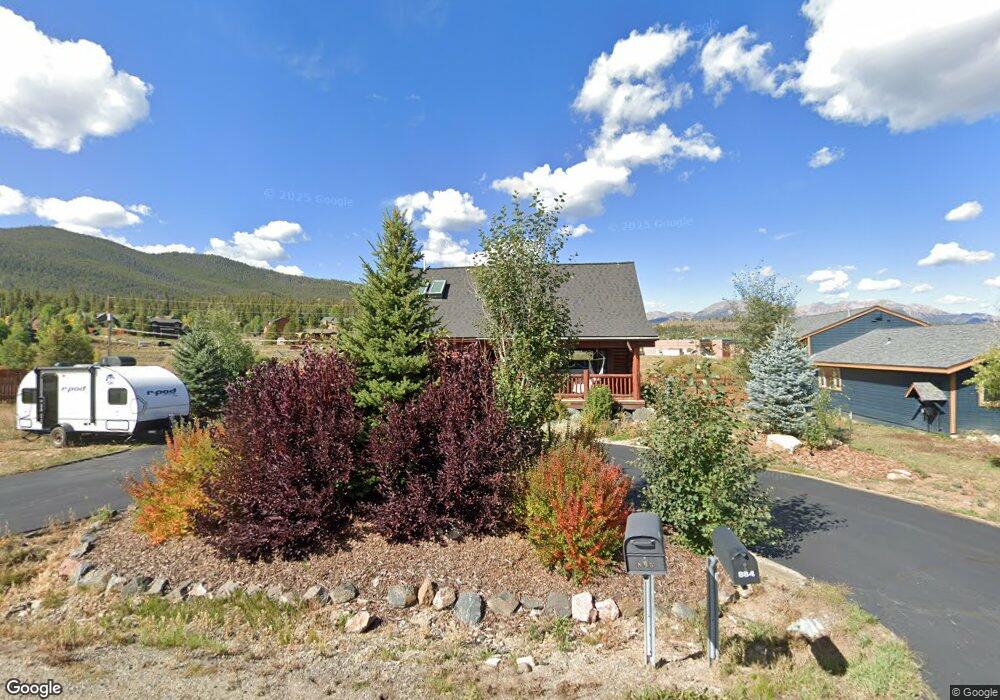
895 Summit Dr Dillon, CO 80435
Keystone NeighborhoodEstimated Value: $1,122,814 - $1,374,000
3
Beds
2
Baths
1,509
Sq Ft
$833/Sq Ft
Est. Value
About This Home
This home is located at 895 Summit Dr, Dillon, CO 80435 and is currently estimated at $1,257,704, approximately $833 per square foot. 895 Summit Dr is a home located in Summit County with nearby schools including Summit Cove Elementary School, Summit Middle School, and Summit High School.
Ownership History
Date
Name
Owned For
Owner Type
Purchase Details
Closed on
Aug 1, 2013
Sold by
Craig Curt and Craig Lucy J
Bought by
895 Summit Drive Llc
Current Estimated Value
Purchase Details
Closed on
Sep 19, 2005
Sold by
Corwin Theodore Ross and Corwin Laurie L
Bought by
Craig Lucy J and Craig Curt
Home Financials for this Owner
Home Financials are based on the most recent Mortgage that was taken out on this home.
Original Mortgage
$351,920
Interest Rate
5.88%
Mortgage Type
New Conventional
Create a Home Valuation Report for This Property
The Home Valuation Report is an in-depth analysis detailing your home's value as well as a comparison with similar homes in the area
Home Values in the Area
Average Home Value in this Area
Purchase History
| Date | Buyer | Sale Price | Title Company |
|---|---|---|---|
| 895 Summit Drive Llc | -- | None Available | |
| Craig Lucy J | $439,900 | Land Title Guarantee Company |
Source: Public Records
Mortgage History
| Date | Status | Borrower | Loan Amount |
|---|---|---|---|
| Previous Owner | Craig Lucy J | $351,920 |
Source: Public Records
Tax History
| Year | Tax Paid | Tax Assessment Tax Assessment Total Assessment is a certain percentage of the fair market value that is determined by local assessors to be the total taxable value of land and additions on the property. | Land | Improvement |
|---|---|---|---|---|
| 2024 | $3,969 | $74,899 | -- | -- |
| 2023 | $3,969 | $71,214 | $0 | $0 |
| 2022 | $2,814 | $47,184 | $0 | $0 |
| 2021 | $2,838 | $48,541 | $0 | $0 |
| 2020 | $2,520 | $45,681 | $0 | $0 |
| 2019 | $2,488 | $45,681 | $0 | $0 |
| 2018 | $1,919 | $33,898 | $0 | $0 |
| 2017 | $1,765 | $33,898 | $0 | $0 |
| 2016 | $1,749 | $33,044 | $0 | $0 |
| 2015 | $1,698 | $33,044 | $0 | $0 |
| 2014 | $1,606 | $30,703 | $0 | $0 |
| 2013 | -- | $30,703 | $0 | $0 |
Source: Public Records
Map
Nearby Homes
- 653 Vail Cir
- 54 Hideaway Ct
- 357 Vail Cir
- 442 Idlewild Dr
- 862 Penstemon Rd
- 22 Sage View Ct Unit 1
- 22 Sage View Ct
- 101 Mule Deer Ct
- 105 River Course Dr Unit 9571
- 58 Summit Dr Unit D9
- 591 Elk Cir
- 36 Cove Blvd Unit G1
- 80 Cove Blvd Unit 103
- 281 Elk Cir Unit 23
- 281 Elk Cir
- 37 Tally Ho Ct Unit 110
- 1109 Royal Coachman Blvd
- 105 Red Cloud Peak Dr
- 203 Gentian Rd
- 66 Glen Cove Dr Unit 66
Your Personal Tour Guide
Ask me questions while you tour the home.