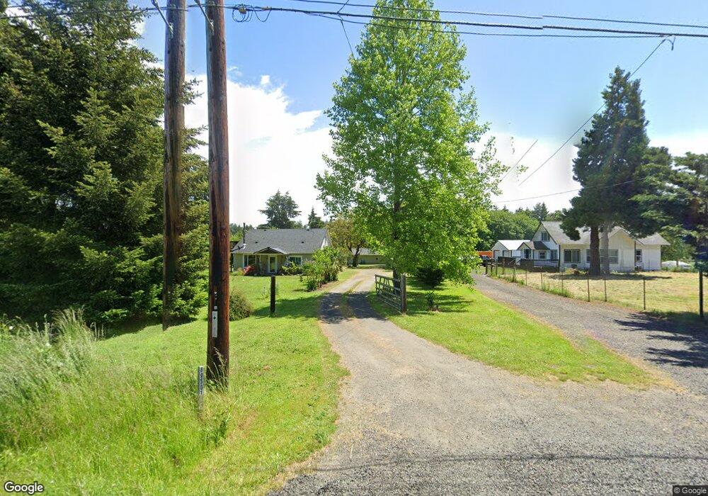
89501 Territorial Rd Elmira, OR 97437
Estimated Value: $494,000 - $710,000
3
Beds
2
Baths
1,700
Sq Ft
$345/Sq Ft
Est. Value
About This Home
This home is located at 89501 Territorial Rd, Elmira, OR 97437 and is currently estimated at $586,017, approximately $344 per square foot. 89501 Territorial Rd is a home located in Lane County with nearby schools including Elmira Elementary School, Fern Ridge Middle School, and Elmira High School.
Ownership History
Date
Name
Owned For
Owner Type
Purchase Details
Closed on
Jun 30, 2004
Sold by
Tyrol Diane V
Bought by
Hutton Patrick D and Hutton Amy K
Current Estimated Value
Home Financials for this Owner
Home Financials are based on the most recent Mortgage that was taken out on this home.
Original Mortgage
$161,550
Outstanding Balance
$79,821
Interest Rate
6.27%
Mortgage Type
Purchase Money Mortgage
Estimated Equity
$506,196
Create a Home Valuation Report for This Property
The Home Valuation Report is an in-depth analysis detailing your home's value as well as a comparison with similar homes in the area
Home Values in the Area
Average Home Value in this Area
Purchase History
| Date | Buyer | Sale Price | Title Company |
|---|---|---|---|
| Hutton Patrick D | $179,500 | Western Pioneer Title Co |
Source: Public Records
Mortgage History
| Date | Status | Borrower | Loan Amount |
|---|---|---|---|
| Open | Hutton Patrick D | $161,550 |
Source: Public Records
Tax History Compared to Growth
Tax History
| Year | Tax Paid | Tax Assessment Tax Assessment Total Assessment is a certain percentage of the fair market value that is determined by local assessors to be the total taxable value of land and additions on the property. | Land | Improvement |
|---|---|---|---|---|
| 2025 | $3,397 | $256,419 | -- | -- |
| 2024 | $3,301 | $248,951 | -- | -- |
| 2023 | $3,301 | $241,700 | $0 | $0 |
| 2022 | $3,085 | $234,661 | $0 | $0 |
| 2021 | $2,837 | $227,827 | $0 | $0 |
| 2020 | $2,765 | $221,192 | $0 | $0 |
| 2019 | $2,697 | $214,750 | $0 | $0 |
| 2018 | $2,604 | $202,423 | $0 | $0 |
| 2017 | $2,494 | $202,423 | $0 | $0 |
| 2016 | $2,394 | $196,527 | $0 | $0 |
| 2015 | $2,368 | $190,803 | $0 | $0 |
| 2014 | $2,320 | $185,246 | $0 | $0 |
Source: Public Records
Map
Nearby Homes
- 89312 Territorial Rd
- 0 Lakeshore Lot 1 Unit 119637472
- 0 Lakeshore Lot 2
- 0
- 0 Umanski Ln
- 25234 Tanglewood Way
- 25262 Tanglewood Way
- 25228 Tanglewood Way
- 88800 Winter Ln
- 88793 Territorial Hwy
- 0 Jeans Rd Unit 22292812
- 0 Jeans Rd Unit 758212635
- 0 Jeans Rd Unit 218932234
- 0 Territorial Hwy
- 24417 Sailview Dr
- 88454 Sproat Ranch Rd
- 25748 Wiggins Ln
- 25263 Tanglewood Way
- 25229 Tanglewood Way
- 25221 Tanglewood Way
- 89515 Territorial Rd
- 89489 Territorial Hwy
- 89489 Territorial Rd
- 89473 Territorial Rd
- 89525 Territorial Hwy
- 89525 Territorial Rd
- 25395 Irene St
- 89467 Territorial Rd
- 25327 Moyer St
- 25375 Irene St
- 25357 Moyer St
- 25347 Moyer St
- 25390 Irene St
- 25338 Moyer St
- 25378 Irene St
- 25416 Irene St
- 25447 Irene St
- 25340 Moyer St
- 25342 Moyer St
- 25365 Moyer St