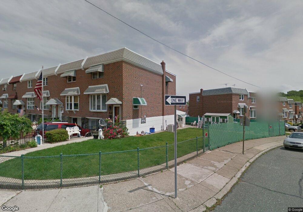
8951 Ashton Rd Philadelphia, PA 19136
Torresdale NeighborhoodEstimated Value: $280,000 - $302,333
3
Beds
1
Bath
1,296
Sq Ft
$225/Sq Ft
Est. Value
About This Home
This home is located at 8951 Ashton Rd, Philadelphia, PA 19136 and is currently estimated at $292,083, approximately $225 per square foot. 8951 Ashton Rd is a home located in Philadelphia County with nearby schools including Lincoln High School, Robert B. Pollock School, and Meehan Austin Middle School.
Ownership History
Date
Name
Owned For
Owner Type
Purchase Details
Closed on
Dec 21, 2013
Sold by
Sullivan Timothy M and The Estate Of Of Helen M Sulli
Bought by
Sullivan Timothy M
Current Estimated Value
Purchase Details
Closed on
Jul 25, 1961
Bought by
Robert Robert E and Robert Helen M
Create a Home Valuation Report for This Property
The Home Valuation Report is an in-depth analysis detailing your home's value as well as a comparison with similar homes in the area
Home Values in the Area
Average Home Value in this Area
Purchase History
| Date | Buyer | Sale Price | Title Company |
|---|---|---|---|
| Sullivan Timothy M | -- | Chicago Title Ins Co | |
| Robert Robert E | -- | -- |
Source: Public Records
Tax History Compared to Growth
Tax History
| Year | Tax Paid | Tax Assessment Tax Assessment Total Assessment is a certain percentage of the fair market value that is determined by local assessors to be the total taxable value of land and additions on the property. | Land | Improvement |
|---|---|---|---|---|
| 2026 | $2,903 | $267,000 | $53,400 | $213,600 |
| 2025 | $2,903 | $267,000 | $53,400 | $213,600 |
| 2024 | $2,903 | $267,000 | $53,400 | $213,600 |
| 2023 | $2,903 | $207,400 | $41,480 | $165,920 |
| 2022 | $2,381 | $207,400 | $41,480 | $165,920 |
| 2021 | $2,381 | $0 | $0 | $0 |
| 2020 | $2,381 | $0 | $0 | $0 |
| 2019 | $2,242 | $0 | $0 | $0 |
| 2018 | $3,644 | $0 | $0 | $0 |
| 2017 | $3,644 | $0 | $0 | $0 |
| 2016 | $3,644 | $0 | $0 | $0 |
| 2015 | $3,488 | $0 | $0 | $0 |
| 2014 | -- | $260,300 | $59,233 | $201,067 |
| 2012 | -- | $20,064 | $4,000 | $16,064 |
Source: Public Records
Map
Nearby Homes
- 2738 Maxwell St
- 2949 Joey Dr
- 2831 Sebring Rd
- 4R & 6 Old Ashton Rd
- 2831 Chase Rd
- 2817 Walnut Hill St Unit A
- 2876 Walnut Hill St
- 2959 Tremont St
- 8200 Colfax St
- 2713 Clayton St
- 2738 Axe Factory Rd
- 2740 Mower St
- 8209 Albion St
- 2742 Welsh Rd
- 8803 Manchester St
- 3100 Welsh Rd
- 8860 Manchester St
- 2777 Welsh Rd
- 2633 Maxwell St
- 3165 Weston St
- 8953 Ashton Rd
- 8955 Ashton Rd
- 2821 Tolbut St
- 8957 Ashton Rd
- 2823 Tolbut St
- 8959 Ashton Rd
- 2825 Tolbut St
- 8961 Ashton Rd
- 2827 Tolbut St
- 8963 Ashton Rd
- 2829 Tolbut St
- 2820 Maxwell St
- 2816 Maxwell St
- 2818 Maxwell St
- 2822 Maxwell St
- 2831 Tolbut St
- 8965 Ashton Rd
- 2824 Maxwell St
- 2826 Maxwell St
- 2828 Maxwell St