Estimated Value: $101,475 - $178,000
2
Beds
1
Bath
872
Sq Ft
$147/Sq Ft
Est. Value
About This Home
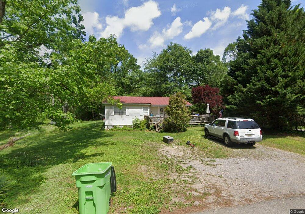
This home is located at 8951 Pear St, Leeds, AL 35094 and is currently estimated at $127,869, approximately $146 per square foot. 8951 Pear St is a home located in Jefferson County with nearby schools including Leeds Elementary School, Leeds Middle School, and Leeds High School.
Create a Home Valuation Report for This Property
The Home Valuation Report is an in-depth analysis detailing your home's value as well as a comparison with similar homes in the area
Home Values in the Area
Average Home Value in this Area
Tax History
| Year | Tax Paid | Tax Assessment Tax Assessment Total Assessment is a certain percentage of the fair market value that is determined by local assessors to be the total taxable value of land and additions on the property. | Land | Improvement |
|---|---|---|---|---|
| 2024 | $718 | $12,100 | -- | -- |
| 2022 | $582 | $9,820 | $1,000 | $8,820 |
| 2021 | $516 | $8,700 | $1,000 | $7,700 |
| 2020 | $516 | $8,700 | $1,000 | $7,700 |
| 2019 | $516 | $8,700 | $0 | $0 |
| 2018 | $493 | $8,320 | $0 | $0 |
| 2017 | $194 | $4,160 | $0 | $0 |
| 2016 | $194 | $4,160 | $0 | $0 |
| 2015 | $190 | $4,100 | $0 | $0 |
| 2014 | $190 | $4,020 | $0 | $0 |
| 2013 | $190 | $4,020 | $0 | $0 |
Source: Public Records
Map
Nearby Homes
- 9063 Bush Ave
- 2200 Lisa Ann Dr SE
- 2237 Lisa Ann Dr SE
- 8621 Swafford Ave
- 1707 Dorrough Ave
- 55741 Alabama 25
- 8804 Rockhampton Dr
- 1651 Thornhill Rd
- 8549 Rockhampton St
- 1708 Whitmire St
- 1509 9th St NE
- 8604 Blair St
- 8445 Dunnavant Rd Unit 1-A
- 151 Ash St
- 1189 Ashville Rd
- 1552 Sims St
- 1528 Oliver Rd
- 184 Walnut St
- 7520 Poplar Ave
- 7612 Cedar Ave
Your Personal Tour Guide
Ask me questions while you tour the home.