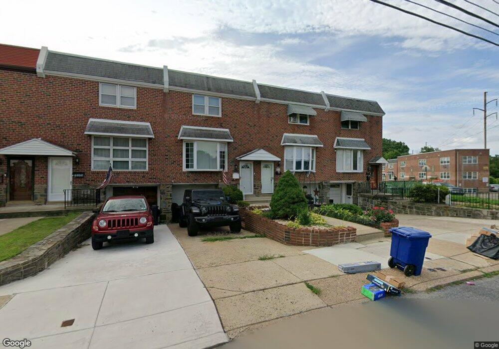
8953 Ashton Rd Philadelphia, PA 19136
Torresdale NeighborhoodEstimated Value: $280,000 - $300,000
3
Beds
1
Bath
1,296
Sq Ft
$224/Sq Ft
Est. Value
About This Home
This home is located at 8953 Ashton Rd, Philadelphia, PA 19136 and is currently estimated at $290,365, approximately $224 per square foot. 8953 Ashton Rd is a home located in Philadelphia County with nearby schools including Lincoln High School, Robert B. Pollock School, and Meehan Austin Middle School.
Ownership History
Date
Name
Owned For
Owner Type
Purchase Details
Closed on
Oct 12, 2001
Sold by
Harlacker Anne Kathleen Pancari and Pancari Anne Kathleen
Bought by
Fox Michael J and Fox Marie P
Current Estimated Value
Home Financials for this Owner
Home Financials are based on the most recent Mortgage that was taken out on this home.
Original Mortgage
$87,210
Outstanding Balance
$33,834
Interest Rate
6.92%
Mortgage Type
FHA
Estimated Equity
$256,531
Purchase Details
Closed on
Dec 18, 1995
Sold by
Pancari Anne Kathleen and Pancari Steven
Bought by
Pancari Anne Kathleen
Create a Home Valuation Report for This Property
The Home Valuation Report is an in-depth analysis detailing your home's value as well as a comparison with similar homes in the area
Home Values in the Area
Average Home Value in this Area
Purchase History
| Date | Buyer | Sale Price | Title Company |
|---|---|---|---|
| Fox Michael J | $87,900 | -- | |
| Pancari Anne Kathleen | -- | -- |
Source: Public Records
Mortgage History
| Date | Status | Borrower | Loan Amount |
|---|---|---|---|
| Open | Fox Michael J | $87,210 |
Source: Public Records
Tax History Compared to Growth
Tax History
| Year | Tax Paid | Tax Assessment Tax Assessment Total Assessment is a certain percentage of the fair market value that is determined by local assessors to be the total taxable value of land and additions on the property. | Land | Improvement |
|---|---|---|---|---|
| 2026 | $2,839 | $259,700 | $51,900 | $207,800 |
| 2025 | $2,839 | $259,700 | $51,900 | $207,800 |
| 2024 | $2,839 | $259,700 | $51,900 | $207,800 |
| 2023 | $2,839 | $202,800 | $40,560 | $162,240 |
| 2022 | $1,625 | $157,800 | $40,560 | $117,240 |
| 2021 | $2,329 | $0 | $0 | $0 |
| 2020 | $2,329 | $0 | $0 | $0 |
| 2019 | $2,193 | $0 | $0 | $0 |
| 2018 | $2,118 | $0 | $0 | $0 |
| 2017 | $2,118 | $0 | $0 | $0 |
| 2016 | $1,625 | $0 | $0 | $0 |
| 2015 | $1,625 | $0 | $0 | $0 |
| 2014 | -- | $151,300 | $34,958 | $116,342 |
| 2012 | -- | $20,064 | $4,000 | $16,064 |
Source: Public Records
Map
Nearby Homes
- 2949 Joey Dr
- 2738 Maxwell St
- 2831 Sebring Rd
- 4R & 6 Old Ashton Rd
- 2831 Chase Rd
- 2817 Walnut Hill St Unit A
- 2876 Walnut Hill St
- 2959 Tremont St
- 8200 Colfax St
- 2713 Clayton St
- 2738 Axe Factory Rd
- 2740 Mower St
- 8209 Albion St
- 3100 Welsh Rd
- 2742 Welsh Rd
- 8803 Manchester St
- 3165 Weston St
- 8860 Manchester St
- 2777 Welsh Rd
- 2633 Maxwell St
- 8955 Ashton Rd
- 8957 Ashton Rd
- 8951 Ashton Rd
- 8959 Ashton Rd
- 8961 Ashton Rd
- 2821 Tolbut St
- 8963 Ashton Rd
- 2823 Tolbut St
- 2816 Maxwell St
- 8965 Ashton Rd
- 2818 Maxwell St
- 2825 Tolbut St
- 2820 Maxwell St
- 2822 Maxwell St
- 2827 Tolbut St
- 2824 Maxwell St
- 2829 Tolbut St
- 2826 Maxwell St
- 2831 Tolbut St
- 2828 Maxwell St