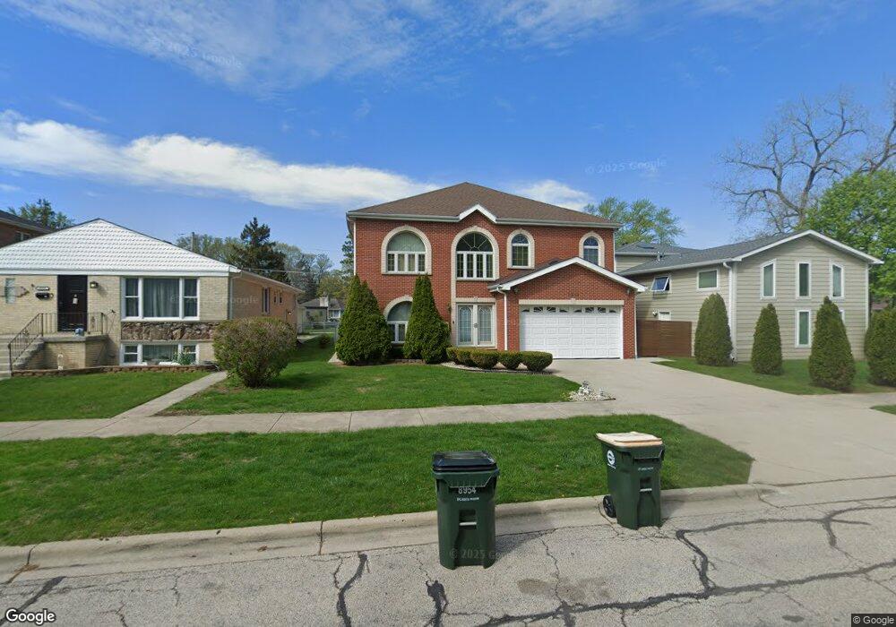
8954 Harms Rd Morton Grove, IL 60053
Estimated Value: $702,000 - $899,000
5
Beds
5
Baths
3,630
Sq Ft
$215/Sq Ft
Est. Value
About This Home
This home is located at 8954 Harms Rd, Morton Grove, IL 60053 and is currently estimated at $779,804, approximately $214 per square foot. 8954 Harms Rd is a home located in Cook County with nearby schools including Park View Elementary School, Niles West High School, and Arie Crown Hebrew Day School.
Ownership History
Date
Name
Owned For
Owner Type
Purchase Details
Closed on
Oct 7, 2003
Sold by
Ganger Neelam and Sharma Rajesh
Bought by
Guevarra Glenn and Guevarra Elnor
Current Estimated Value
Home Financials for this Owner
Home Financials are based on the most recent Mortgage that was taken out on this home.
Original Mortgage
$500,000
Interest Rate
6.01%
Mortgage Type
Unknown
Purchase Details
Closed on
Sep 26, 2002
Sold by
Albrecht Deborah
Bought by
Ganger Neelam and Sharma Rajesh
Home Financials for this Owner
Home Financials are based on the most recent Mortgage that was taken out on this home.
Original Mortgage
$144,000
Interest Rate
6.39%
Create a Home Valuation Report for This Property
The Home Valuation Report is an in-depth analysis detailing your home's value as well as a comparison with similar homes in the area
Home Values in the Area
Average Home Value in this Area
Purchase History
| Date | Buyer | Sale Price | Title Company |
|---|---|---|---|
| Guevarra Glenn | $650,000 | Cti | |
| Ganger Neelam | -- | First American Title |
Source: Public Records
Mortgage History
| Date | Status | Borrower | Loan Amount |
|---|---|---|---|
| Previous Owner | Guevarra Glenn | $500,000 | |
| Previous Owner | Ganger Neelam | $144,000 |
Source: Public Records
Tax History Compared to Growth
Tax History
| Year | Tax Paid | Tax Assessment Tax Assessment Total Assessment is a certain percentage of the fair market value that is determined by local assessors to be the total taxable value of land and additions on the property. | Land | Improvement |
|---|---|---|---|---|
| 2024 | $8,320 | $31,789 | $4,063 | $27,726 |
| 2023 | $7,901 | $31,789 | $4,063 | $27,726 |
| 2022 | $7,901 | $31,789 | $4,063 | $27,726 |
| 2021 | $7,017 | $23,542 | $2,500 | $21,042 |
| 2020 | $6,866 | $23,542 | $2,500 | $21,042 |
| 2019 | $6,926 | $26,452 | $2,500 | $23,952 |
| 2018 | $7,733 | $26,223 | $2,265 | $23,958 |
| 2017 | $7,800 | $26,223 | $2,265 | $23,958 |
| 2016 | $7,484 | $26,223 | $2,265 | $23,958 |
| 2015 | $6,803 | $22,423 | $1,953 | $20,470 |
| 2014 | $6,805 | $22,423 | $1,953 | $20,470 |
| 2013 | $6,640 | $22,423 | $1,953 | $20,470 |
Source: Public Records
Map
Nearby Homes
- 5536 Greenwood St
- 5459 Suffield Ct
- 8918 Parkside Ave
- 5352 Greenwood St
- 5449 Arcadia St
- 5346 Suffield Terrace
- 8841 Menard Ave
- 5317 Suffield Ct
- 8708 Central Ave
- 5247 Suffield Ct
- 8655 Harms Rd
- 8836 Mansfield Ave
- 9234 Central Ave
- 9224 Menard Ave
- 5309 Crain St
- 5644 Lyons St
- 5128 Suffield Ct
- 8717 Gross Point Rd
- 8541 Lotus Ave Unit 914
- 9314 Menard Ave
- 8954 Harms Rd
- 8947 Central Ave
- 8947 Lake St
- 8950 Harms Rd
- 8933 Central Ave
- 8948 Harms Rd
- 8942 Harms Rd
- 8942 Harms Rd
- 8929 Central Ave
- 8951 Harms Rd
- 9001 Harms Rd
- 8940 Harms Rd
- 8940 Harms Rd
- 8940 Central Ave
- 8940 Central Ave
- 8946 Central Ave
- 8946 Central Ave
- 8925 Central Ave
- 8936 Central Ave
- 8947 Harms Rd