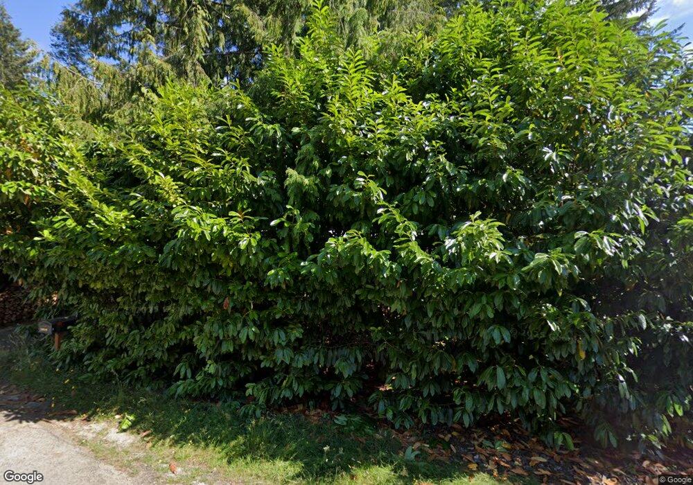
89549 Shore Crest Dr Florence, OR 97439
Estimated Value: $225,000 - $295,451
2
Beds
1
Bath
640
Sq Ft
$406/Sq Ft
Est. Value
About This Home
This home is located at 89549 Shore Crest Dr, Florence, OR 97439 and is currently estimated at $260,113, approximately $406 per square foot. 89549 Shore Crest Dr is a home located in Lane County with nearby schools including Siuslaw Elementary School, Siuslaw Middle School, and Siuslaw High School.
Ownership History
Date
Name
Owned For
Owner Type
Purchase Details
Closed on
Oct 21, 2015
Sold by
Crider Timothy P and Soccio Deanna
Bought by
Lathrop Lawrence Erwin
Current Estimated Value
Home Financials for this Owner
Home Financials are based on the most recent Mortgage that was taken out on this home.
Original Mortgage
$75,200
Outstanding Balance
$59,106
Interest Rate
3.85%
Mortgage Type
Purchase Money Mortgage
Estimated Equity
$201,007
Purchase Details
Closed on
May 11, 2010
Sold by
Lee Patrick J
Bought by
Crider Timothy P and Soccio Deanna
Home Financials for this Owner
Home Financials are based on the most recent Mortgage that was taken out on this home.
Original Mortgage
$64,000
Interest Rate
5.04%
Mortgage Type
New Conventional
Create a Home Valuation Report for This Property
The Home Valuation Report is an in-depth analysis detailing your home's value as well as a comparison with similar homes in the area
Home Values in the Area
Average Home Value in this Area
Purchase History
| Date | Buyer | Sale Price | Title Company |
|---|---|---|---|
| Lathrop Lawrence Erwin | $94,000 | Cascade Title Co | |
| Crider Timothy P | $80,000 | First American Title |
Source: Public Records
Mortgage History
| Date | Status | Borrower | Loan Amount |
|---|---|---|---|
| Open | Lathrop Lawrence Erwin | $75,200 | |
| Previous Owner | Crider Timothy P | $64,000 |
Source: Public Records
Tax History Compared to Growth
Tax History
| Year | Tax Paid | Tax Assessment Tax Assessment Total Assessment is a certain percentage of the fair market value that is determined by local assessors to be the total taxable value of land and additions on the property. | Land | Improvement |
|---|---|---|---|---|
| 2024 | $1,324 | $116,594 | -- | -- |
| 2023 | $1,324 | $113,199 | $0 | $0 |
| 2022 | $1,236 | $109,902 | $0 | $0 |
| 2021 | $1,203 | $106,701 | $0 | $0 |
| 2020 | $1,169 | $103,594 | $0 | $0 |
| 2019 | $1,125 | $100,577 | $0 | $0 |
| 2018 | $1,136 | $94,804 | $0 | $0 |
| 2017 | $1,096 | $94,804 | $0 | $0 |
| 2016 | $1,038 | $92,043 | $0 | $0 |
| 2015 | $1,046 | $89,362 | $0 | $0 |
| 2014 | $1,032 | $86,759 | $0 | $0 |
Source: Public Records
Map
Nearby Homes
- 0 Levage Dr Unit 5600 24415074
- 89388 View Dr
- 89311 Sutton Lake Dr
- 89510 Highway 101 Unit 26
- 89510 Highway 101 Unit 23
- 89298 Sutton Lake Dr
- 89228 Shore Crest Dr
- 89159 Sutton Lake Rd
- 5590 S Shore Dr
- 89349 Rustic Ln
- 89911 Ben Bunch Rd
- 0 Sand Dune Park Dr Unit TL 800 254608161
- 88921 Bayberry Ln
- 0 View Loop Unit 3 526137347
- 5938 View Loop
- 6027 View Loop
- 0 Collard Lake Rd Unit 598901752
- 0 Collard Loop Unit 534944077
- 88616 Ocean View Ln
- 6651 Twin Fawn Dr
- 89541 Shore Crest Dr
- 89535 Shore Crest Dr
- 89542 Shore Crest Dr
- 89534 Shore Crest Dr
- 0 Tl 1800 Shore Crest Dr
- 89525 Shore Crest Dr
- 89436 Levage Dr
- 89521 Shorecrest Dr
- 89483 Sutton Place
- 89426 Levage Dr
- 89517 Shorecrest Dr
- 0 Sutton Place
- 89485 Sutton Place
- 89488 Sutton Place
- 89513 Shore Crest Dr
- 89447 Levage Dr
- 89490 Sutton Place
- 89433 Levage Dr
- 89443 Levage Dr
- 89491 Sutton Place
