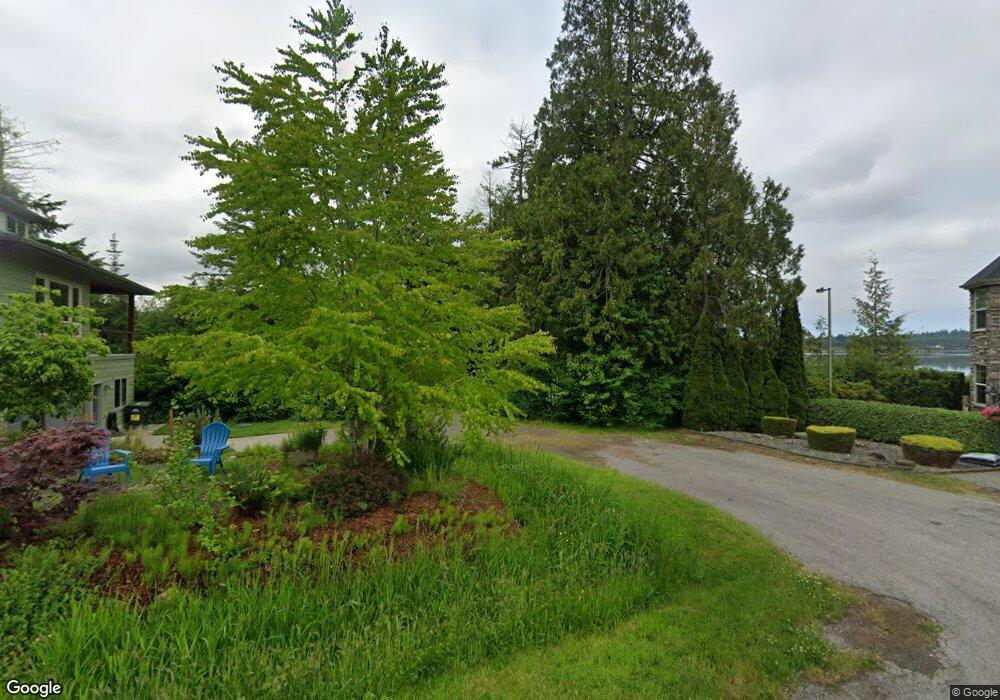
8959 Dearborn Ave Blaine, WA 98230
Estimated Value: $831,000 - $1,344,000
2
Beds
3
Baths
2,800
Sq Ft
$392/Sq Ft
Est. Value
About This Home
This home is located at 8959 Dearborn Ave, Blaine, WA 98230 and is currently estimated at $1,096,719, approximately $391 per square foot. 8959 Dearborn Ave is a home located in Whatcom County with nearby schools including Blaine Primary School, Blaine Elementary School, and Blaine Middle School.
Ownership History
Date
Name
Owned For
Owner Type
Purchase Details
Closed on
Dec 2, 2005
Sold by
Webster Connie and Anderson Annette
Bought by
Webster Connie
Current Estimated Value
Purchase Details
Closed on
Oct 19, 2005
Sold by
Jansen Erna
Bought by
Webster Connie and Anderson Annette
Purchase Details
Closed on
Aug 25, 2004
Sold by
Ex Webster Connie and Ex Margie M Willits Applicable
Bought by
Webster Connie and Anderson Annette
Purchase Details
Closed on
Nov 26, 2003
Sold by
Willits John J and Estate Of Margie M Willits
Bought by
The Margie M Willits Applicable Exclusio
Create a Home Valuation Report for This Property
The Home Valuation Report is an in-depth analysis detailing your home's value as well as a comparison with similar homes in the area
Home Values in the Area
Average Home Value in this Area
Purchase History
| Date | Buyer | Sale Price | Title Company |
|---|---|---|---|
| Webster Connie | -- | -- | |
| Webster Connie | $125,280 | Whatcom Land Title | |
| Webster Connie | -- | -- | |
| The Margie M Willits Applicable Exclusio | -- | -- |
Source: Public Records
Tax History Compared to Growth
Tax History
| Year | Tax Paid | Tax Assessment Tax Assessment Total Assessment is a certain percentage of the fair market value that is determined by local assessors to be the total taxable value of land and additions on the property. | Land | Improvement |
|---|---|---|---|---|
| 2024 | $2,882 | $1,199,202 | $465,934 | $733,268 |
| 2023 | $2,882 | $1,199,202 | $465,934 | $733,268 |
| 2022 | $4,263 | $1,080,362 | $419,760 | $444,631 |
| 2021 | $7,193 | $844,462 | $342,020 | $444,631 |
| 2020 | $6,878 | $747,299 | $302,668 | $444,631 |
| 2019 | $6,328 | $688,743 | $278,952 | $409,791 |
| 2018 | $6,689 | $619,096 | $250,744 | $368,352 |
| 2017 | $5,256 | $590,750 | $239,263 | $351,487 |
| 2016 | $5,393 | $518,202 | $209,880 | $308,322 |
| 2015 | $5,224 | $512,171 | $202,534 | $309,637 |
| 2014 | -- | $484,439 | $192,040 | $292,399 |
| 2013 | -- | $497,619 | $200,016 | $297,603 |
Source: Public Records
Map
Nearby Homes
- 0 Shipyard Rd
- 8055 Blaine Rd
- 1301 Leighton St
- 1263 Leighton St
- 2529 Bora Ct
- 2240 Peace Portal Dr Unit 5
- 1985 Bayview Ave
- 4641 California Trail
- 4255 West Rd
- 4435 Castlerock Dr
- 1649 Bayview Ave
- 1575 Kingsley Ave
- 750 Odell Rd
- 8491 Blaine Rd
- 4766 Twilight Place
- 0 Harvey Rd Unit NWM2270186
- 1384 Bayview Ct Unit E1
- 1301 Mitchell Ave
- 4843 Oakridge Dr
- 1428 Peace Portal Dr
- 9003 Dearborn Ave
- 9027 Dearborn Ave
- 9009 Dearborn Ave
- 4623 Hall Rd
- 9006 Hall Rd
- 9015 Dearborn Ave
- 4619 Hall Rd
- 9010 Dearborn Ave
- 4618 Hall Rd
- 8951 Dearborn Ave
- 9007 Bay Cir
- 9005 Bay Cir
- 4623 Elmwood Dr
- 9022 Dearborn Ave
- 4610 Hall Rd
- 9003 Bay Cir
- 9031 Dearborn Ave
- 8941 Dearborn Ave
- 9 Drayton Reach St
- 4619 Elmwood Dr