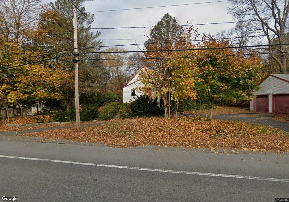
896 Amesbury Rd Haverhill, MA 01830
Estimated Value: $493,000 - $576,907
3
Beds
2
Baths
1,975
Sq Ft
$273/Sq Ft
Est. Value
About This Home
This home is located at 896 Amesbury Rd, Haverhill, MA 01830 and is currently estimated at $539,727, approximately $273 per square foot. 896 Amesbury Rd is a home located in Essex County with nearby schools including Pentucket Lake Elementary School, John G. Whittier Middle School, and Haverhill High School.
Ownership History
Date
Name
Owned For
Owner Type
Purchase Details
Closed on
Nov 18, 2005
Sold by
Ruse-Hill Victoria J
Bought by
Hill Timothy
Current Estimated Value
Home Financials for this Owner
Home Financials are based on the most recent Mortgage that was taken out on this home.
Original Mortgage
$158,000
Outstanding Balance
$88,861
Interest Rate
6.28%
Estimated Equity
$450,866
Create a Home Valuation Report for This Property
The Home Valuation Report is an in-depth analysis detailing your home's value as well as a comparison with similar homes in the area
Home Values in the Area
Average Home Value in this Area
Purchase History
| Date | Buyer | Sale Price | Title Company |
|---|---|---|---|
| Hill Timothy | -- | -- |
Source: Public Records
Mortgage History
| Date | Status | Borrower | Loan Amount |
|---|---|---|---|
| Open | Hill Timothy | $158,000 | |
| Previous Owner | Hill Timothy | $154,000 |
Source: Public Records
Tax History Compared to Growth
Tax History
| Year | Tax Paid | Tax Assessment Tax Assessment Total Assessment is a certain percentage of the fair market value that is determined by local assessors to be the total taxable value of land and additions on the property. | Land | Improvement |
|---|---|---|---|---|
| 2025 | $4,695 | $438,400 | $186,500 | $251,900 |
| 2024 | $4,423 | $415,700 | $177,600 | $238,100 |
| 2023 | $4,409 | $395,400 | $177,600 | $217,800 |
| 2022 | $4,301 | $338,100 | $163,400 | $174,700 |
| 2021 | $4,032 | $300,000 | $145,600 | $154,400 |
| 2020 | $3,947 | $290,200 | $138,500 | $151,700 |
| 2019 | $3,801 | $272,500 | $120,800 | $151,700 |
| 2018 | $3,649 | $255,900 | $113,700 | $142,200 |
| 2017 | $3,448 | $230,000 | $97,700 | $132,300 |
| 2016 | $3,137 | $204,200 | $74,600 | $129,600 |
| 2015 | $3,134 | $204,200 | $74,600 | $129,600 |
Source: Public Records
Map
Nearby Homes
- 897 Amesbury Rd
- 186 Brandy Brow Rd
- 3 Noyes Ln
- 14 Corliss Hill Rd
- 53 Old Amesbury Line Rd
- 531 Amesbury Rd
- 48 Little Pond Rd
- 0 Mountain View Ave
- 18 River Rd
- 2 River Rd
- 80 Margerie St
- 24 Union St
- 36 Orchard St
- 46 Locust St
- 0 W Main St
- 6 Vendome St Unit 6
- 2-4 Central St
- 20 Grove St Unit 20
- 37 School St
- 43 Prospect St
- 882 Amesbury Rd
- 920 Amesbury Rd
- 9 Atwood Rd
- 917 Amesbury Rd
- 17 Atwood Rd
- 923 Amesbury Rd
- 5 Groveland Bridge Rd
- 10 Atwood Rd
- 21 Atwood Rd
- 930 Amesbury Rd
- 865 Amesbury Rd
- 22 Atwood Rd
- 0 Groveland Bridge Rd Unit 72675687
- 0 Groveland Bridge Rd
- 27 Atwood Rd
- 857 Amesbury Rd
- 29 Atwood Rd
- 935 Amesbury Rd
- 942 Amesbury Rd
- 850 Amesbury Rd