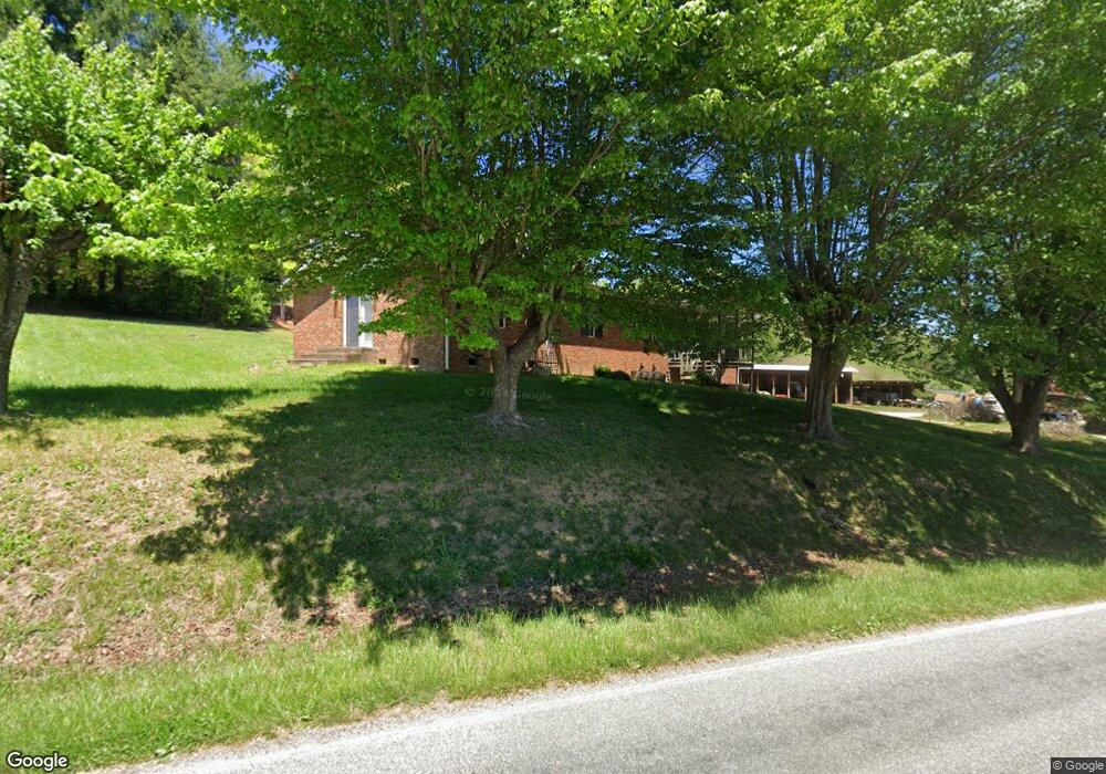
896 Grindstone Rd Waynesville, NC 28785
Estimated Value: $510,000
3
Beds
2
Baths
1,540
Sq Ft
$331/Sq Ft
Est. Value
About This Home
This home is located at 896 Grindstone Rd, Waynesville, NC 28785 and is currently priced at $510,000, approximately $331 per square foot. 896 Grindstone Rd is a home located in Haywood County with nearby schools including Jonathan Valley Elementary School, Waynesville Middle, and Tuscola High.
Ownership History
Date
Name
Owned For
Owner Type
Purchase Details
Closed on
Apr 5, 2023
Sold by
Allison Max Steven
Bought by
Franklin Nathan D
Current Estimated Value
Home Financials for this Owner
Home Financials are based on the most recent Mortgage that was taken out on this home.
Original Mortgage
$320,000
Outstanding Balance
$178,232
Interest Rate
6.5%
Mortgage Type
FHA
Purchase Details
Closed on
Oct 13, 2020
Sold by
Allison Barbara E
Bought by
Allison Mac Steven
Purchase Details
Closed on
Nov 26, 2008
Sold by
Allison Max Steven and Allison Barbara E
Bought by
Allison Max Steven
Create a Home Valuation Report for This Property
The Home Valuation Report is an in-depth analysis detailing your home's value as well as a comparison with similar homes in the area
Home Values in the Area
Average Home Value in this Area
Purchase History
| Date | Buyer | Sale Price | Title Company |
|---|---|---|---|
| Franklin Nathan D | $400,000 | -- | |
| Allison Mac Steven | -- | None Available | |
| Allison Max Steven | -- | None Available |
Source: Public Records
Mortgage History
| Date | Status | Borrower | Loan Amount |
|---|---|---|---|
| Open | Franklin Nathan D | $320,000 |
Source: Public Records
Tax History Compared to Growth
Tax History
| Year | Tax Paid | Tax Assessment Tax Assessment Total Assessment is a certain percentage of the fair market value that is determined by local assessors to be the total taxable value of land and additions on the property. | Land | Improvement |
|---|---|---|---|---|
| 2023 | $1,691 | $253,300 | $35,500 | $217,800 |
| 2022 | $1,691 | $253,300 | $35,500 | $217,800 |
| 2021 | $1,691 | $253,300 | $35,500 | $217,800 |
| 2020 | $1,546 | $211,700 | $35,500 | $176,200 |
| 2019 | $1,551 | $211,700 | $35,500 | $176,200 |
| 2018 | $1,551 | $211,700 | $35,500 | $176,200 |
| 2017 | $1,551 | $211,700 | $0 | $0 |
| 2016 | $1,513 | $212,000 | $0 | $0 |
| 2015 | $1,513 | $212,000 | $0 | $0 |
| 2014 | $1,388 | $212,000 | $0 | $0 |
Source: Public Records
Map
Nearby Homes
- 0 Asa Trail
- Lot 23 Asa Trail
- 64 Cradling Cove
- 0 Cradling Cove Unit 3
- 443 Cedarwood Dr
- 00 Buckeye Dr Unit 35
- Lot 17 Covered Bridge Trail Unit 17
- Lot 24 Covered Bridge Trail Unit 24
- 85 Garnet Spring Ln
- 25 Summer Place Dr
- 52 Strollers Ln
- 99999 Molasses Way Unit 18
- 284 Aqua Vista Loop
- 158 Summer Place Dr
- 71 Flat Creek Dr
- 161 Summer Place Dr
- 158 & 161 Summer Place Dr
- 297 Mallard Loop
- 164 Carsen Loop
- 222 Pike Point
- 892 Grindstone Rd
- 41 Beantown Rd
- 87 Beantown Rd
- 6 Midland Dr
- 6 Midland Dr Unit A
- 28 Viewpoint Dr
- LOT B Midland Dr
- 99 Beantown Rd
- 42 Midland Dr
- 31 Midland Dr
- 770 Grindstone Rd
- 51 Martindale Rd
- 00 Midland Dr
- 72 Midland Dr
- LOT A Midland Dr Unit LOT A
- 00 Cedarwood Dr
- 766 Grindstone Rd Unit 1
- 216 Beantown Rd
- 111 Midland Dr
- 94 Midland Dr