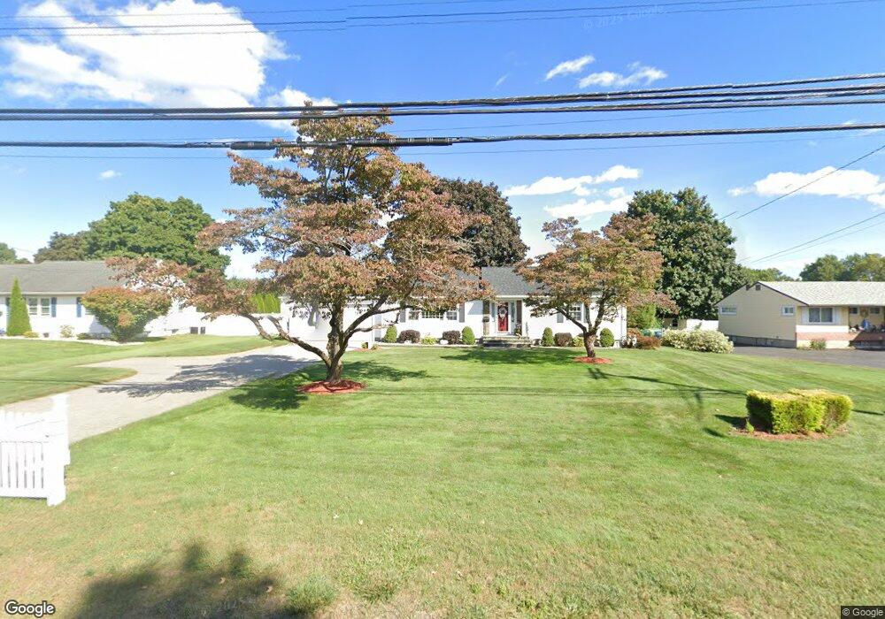
896 Maple St Rocky Hill, CT 06067
Estimated Value: $340,000 - $398,000
2
Beds
1
Bath
1,216
Sq Ft
$299/Sq Ft
Est. Value
About This Home
This home is located at 896 Maple St, Rocky Hill, CT 06067 and is currently estimated at $363,955, approximately $299 per square foot. 896 Maple St is a home located in Hartford County with nearby schools including Highcrest School, Silas Deane Middle School, and Wethersfield High School.
Ownership History
Date
Name
Owned For
Owner Type
Purchase Details
Closed on
Oct 5, 1999
Sold by
Cornelio Randal S and Cornelio Larry M
Bought by
Donovan Stephen T and Donovan Elaine F
Current Estimated Value
Purchase Details
Closed on
Apr 30, 1997
Sold by
Kavel Grace P
Bought by
Cornelio Randal S and Cornelio Lorry M
Create a Home Valuation Report for This Property
The Home Valuation Report is an in-depth analysis detailing your home's value as well as a comparison with similar homes in the area
Home Values in the Area
Average Home Value in this Area
Purchase History
| Date | Buyer | Sale Price | Title Company |
|---|---|---|---|
| Donovan Stephen T | $16,000 | -- | |
| Donovan Stephen T | $16,000 | -- | |
| Cornelio Randal S | $133,000 | -- | |
| Cornelio Randal S | $133,000 | -- |
Source: Public Records
Mortgage History
| Date | Status | Borrower | Loan Amount |
|---|---|---|---|
| Open | Cornelio Randal S | $100,000 | |
| Closed | Cornelio Randal S | $100,000 | |
| Previous Owner | Cornelio Randal S | $123,700 |
Source: Public Records
Tax History
| Year | Tax Paid | Tax Assessment Tax Assessment Total Assessment is a certain percentage of the fair market value that is determined by local assessors to be the total taxable value of land and additions on the property. | Land | Improvement |
|---|---|---|---|---|
| 2025 | $5,631 | $186,200 | $66,780 | $119,420 |
| 2024 | $5,431 | $186,200 | $66,780 | $119,420 |
| 2023 | $5,763 | $160,440 | $65,940 | $94,500 |
| 2022 | $5,538 | $160,440 | $65,940 | $94,500 |
| 2021 | $5,471 | $160,440 | $65,940 | $94,500 |
| 2020 | $5,391 | $160,440 | $65,940 | $94,500 |
| 2019 | $5,214 | $160,440 | $65,940 | $94,500 |
| 2018 | $4,813 | $148,540 | $59,290 | $89,250 |
| 2017 | $4,694 | $148,540 | $59,290 | $89,250 |
| 2016 | $4,605 | $148,540 | $59,290 | $89,250 |
| 2015 | $4,412 | $148,540 | $59,290 | $89,250 |
| 2014 | $4,412 | $148,540 | $59,290 | $89,250 |
Source: Public Records
Map
Nearby Homes
- 268 Fox Hill Rd
- 92 Berkshire Rd
- 22 Winesap Cir Unit 22
- 18 Mcintosh Cir Unit 18
- 99 Elm Ridge Dr
- 36 Copper Beech Dr
- 25 Sutton Rd
- 1610 Silas Deane Hwy
- 59 Chapin Ave
- 11 Charter Rd
- 3 Colonial Dr Unit C
- 155 Old Common Rd
- 25 Heather Hill
- 34 Rose Ct
- 9 Dogwood Ct
- 38 Butternut Ln
- 5 Robeth Ln
- 6 Pearl Ln
- 31 Ox Yoke Dr
- 89 Merriman Rd
- 900 Maple St
- 888 Maple St
- 901 Maple St
- 912 Maple St
- 878 Maple St
- 881 Maple St
- 911 Maple St
- 30 Highmeadow Rd
- 875 Maple St
- 20 Highmeadow Rd
- 82 Cloverdale Cir
- 870 Maple St
- 40 Highmeadow Rd
- 1 Gilbert Ave
- 10 Highmeadow Rd
- 74 Cloverdale Cir
- 50 Highmeadow Rd
- 90 Cloverdale Cir
- 68 Cloverdale Cir
- 923 Maple St
Your Personal Tour Guide
Ask me questions while you tour the home.