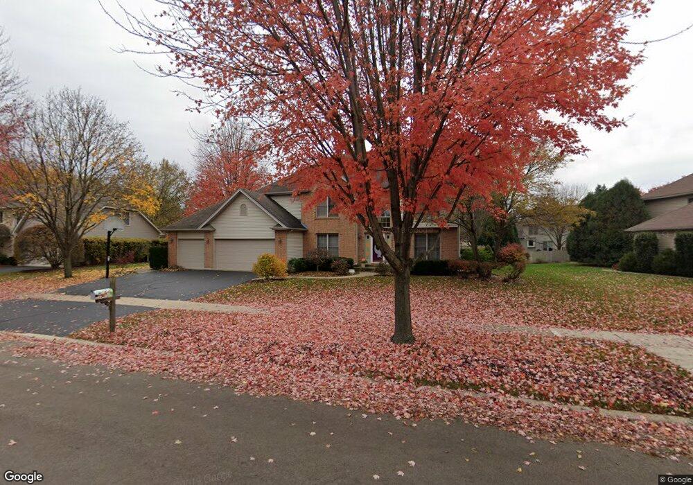
896 Sterling Ave Unit 1 Geneva, IL 60134
Southwest Geneva NeighborhoodEstimated Value: $592,000 - $632,000
4
Beds
3
Baths
2,808
Sq Ft
$218/Sq Ft
Est. Value
About This Home
This home is located at 896 Sterling Ave Unit 1, Geneva, IL 60134 and is currently estimated at $612,417, approximately $218 per square foot. 896 Sterling Ave Unit 1 is a home located in Kane County with nearby schools including Heartland Elementary School, Geneva Community High School, and St. Peter School.
Ownership History
Date
Name
Owned For
Owner Type
Purchase Details
Closed on
May 6, 2009
Sold by
Borowiec Therese A
Bought by
Schraft Therese A
Current Estimated Value
Purchase Details
Closed on
Jan 8, 2009
Sold by
Mannion William H
Bought by
Borowiec Therese A and Mannion Therese A
Purchase Details
Closed on
Jan 20, 1995
Sold by
R A Faganel Builders Inc
Bought by
Mannion William H and Mannion Therese A
Home Financials for this Owner
Home Financials are based on the most recent Mortgage that was taken out on this home.
Original Mortgage
$207,850
Interest Rate
7.5%
Create a Home Valuation Report for This Property
The Home Valuation Report is an in-depth analysis detailing your home's value as well as a comparison with similar homes in the area
Home Values in the Area
Average Home Value in this Area
Purchase History
| Date | Buyer | Sale Price | Title Company |
|---|---|---|---|
| Schraft Therese A | -- | None Available | |
| Borowiec Therese A | -- | None Available | |
| Mannion William H | $246,000 | Chicago Title Insurance Co |
Source: Public Records
Mortgage History
| Date | Status | Borrower | Loan Amount |
|---|---|---|---|
| Previous Owner | Mannion William H | $207,850 |
Source: Public Records
Tax History Compared to Growth
Tax History
| Year | Tax Paid | Tax Assessment Tax Assessment Total Assessment is a certain percentage of the fair market value that is determined by local assessors to be the total taxable value of land and additions on the property. | Land | Improvement |
|---|---|---|---|---|
| 2024 | $12,243 | $168,894 | $41,708 | $127,186 |
| 2023 | $11,940 | $153,540 | $37,916 | $115,624 |
| 2022 | $11,411 | $142,668 | $35,231 | $107,437 |
| 2021 | $11,079 | $137,366 | $33,922 | $103,444 |
| 2020 | $10,953 | $135,269 | $33,404 | $101,865 |
| 2019 | $10,925 | $132,708 | $32,772 | $99,936 |
| 2018 | $11,098 | $134,891 | $32,772 | $102,119 |
| 2017 | $10,975 | $131,294 | $31,898 | $99,396 |
| 2016 | $11,031 | $129,520 | $31,467 | $98,053 |
| 2015 | -- | $123,141 | $29,917 | $93,224 |
| 2014 | -- | $120,091 | $29,917 | $90,174 |
| 2013 | -- | $120,091 | $29,917 | $90,174 |
Source: Public Records
Map
Nearby Homes
- 823 Sunflower Dr
- 3459 Wild Prairie Ln
- 948 Bluestem Dr
- 2927 Caldwell Ln Unit 2
- 2827 Caldwell Ln Unit 2
- 715 Samantha Cir
- 839 S Randall Rd
- 38W335 Killey Ln
- 869 Cambridge Dr
- 2671 Stone Cir Unit 208
- 2767 Stone Cir
- 2771 Stone Cir
- 2747 Stone Cir
- 2749 Stone Cir
- 2751 Stone Cir
- 2753 Stone Cir
- 2769 Stone Cir
- 748 Hamilton Way
- 2692 Stone Cir Unit 203
- 668 Branson Dr
- 892 Sterling Ave
- 898 Sterling Ave Unit 1
- 2816 Spruce Ct
- 2808 Spruce Ct
- 2802 Spruce Ct Unit 3
- 2793 Patten Ave
- 2790 Patten Ave
- 891 Sterling Ave
- 2824 Spruce Ct Unit 3
- 2787 Patten Ave
- 2784 Patten Ave
- 887 Sterling Ave
- 2832 Spruce Ct
- 2864 Spruce Ct
- 2852 Spruce Ct
- 37w Kaneville Rd
- 2767 Conant Ct
- 2876 Spruce Ct
- 37W617 Kaneville Rd
- 2759 Conant Ct