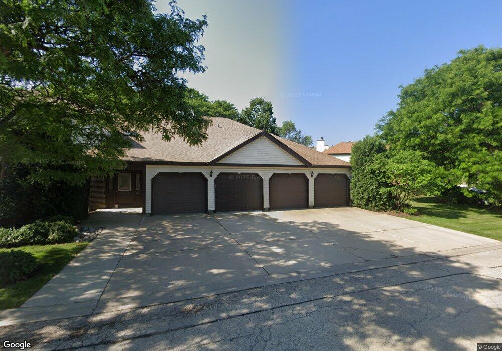
897 Stradford Cir Unit 20A4 Buffalo Grove, IL 60089
South Buffalo Grove NeighborhoodEstimated Value: $268,374 - $324,000
3
Beds
--
Bath
1,389
Sq Ft
$205/Sq Ft
Est. Value
About This Home
This home is located at 897 Stradford Cir Unit 20A4, Buffalo Grove, IL 60089 and is currently estimated at $285,094, approximately $205 per square foot. 897 Stradford Cir Unit 20A4 is a home located in Cook County with nearby schools including Henry W Longfellow Elementary School, Cooper Middle School, and Buffalo Grove High School.
Ownership History
Date
Name
Owned For
Owner Type
Purchase Details
Closed on
May 29, 2018
Sold by
Kayne Gary I
Bought by
Kayne Gary I and Gary I Kayne Living Trust
Current Estimated Value
Purchase Details
Closed on
Oct 2, 1996
Sold by
Antenore Todd and Antenore Todd M
Bought by
Kayne Gary I
Purchase Details
Closed on
Sep 23, 1994
Sold by
Harris Bank Winnetka National Assn
Bought by
Antenore Todd and Antenore Tammy D
Home Financials for this Owner
Home Financials are based on the most recent Mortgage that was taken out on this home.
Original Mortgage
$95,000
Interest Rate
8.53%
Mortgage Type
FHA
Create a Home Valuation Report for This Property
The Home Valuation Report is an in-depth analysis detailing your home's value as well as a comparison with similar homes in the area
Home Values in the Area
Average Home Value in this Area
Purchase History
| Date | Buyer | Sale Price | Title Company |
|---|---|---|---|
| Kayne Gary I | -- | None Available | |
| Kayne Gary I | $124,000 | -- | |
| Antenore Todd | $100,000 | Heritage Title Co |
Source: Public Records
Mortgage History
| Date | Status | Borrower | Loan Amount |
|---|---|---|---|
| Previous Owner | Antenore Todd | $95,000 |
Source: Public Records
Tax History Compared to Growth
Tax History
| Year | Tax Paid | Tax Assessment Tax Assessment Total Assessment is a certain percentage of the fair market value that is determined by local assessors to be the total taxable value of land and additions on the property. | Land | Improvement |
|---|---|---|---|---|
| 2024 | $5,639 | $20,934 | $3,395 | $17,539 |
| 2023 | $5,393 | $20,934 | $3,395 | $17,539 |
| 2022 | $5,393 | $20,934 | $3,395 | $17,539 |
| 2021 | $4,901 | $17,203 | $471 | $16,732 |
| 2020 | $4,848 | $17,203 | $471 | $16,732 |
| 2019 | $4,841 | $19,066 | $471 | $18,595 |
| 2018 | $4,232 | $15,725 | $377 | $15,348 |
| 2017 | $4,175 | $15,725 | $377 | $15,348 |
| 2016 | $4,154 | $15,725 | $377 | $15,348 |
| 2015 | $4,222 | $15,050 | $1,603 | $13,447 |
| 2014 | $4,170 | $15,050 | $1,603 | $13,447 |
| 2013 | $3,836 | $15,050 | $1,603 | $13,447 |
Source: Public Records
Map
Nearby Homes
- 813 Stradford Cir Unit 21B2
- 780 Weidner Rd Unit 300
- 820 Weidner Rd Unit 409
- 859 Beechwood Rd
- 720 Weidner Rd Unit 302
- 535 Estate Dr
- 410 Chatham Cir
- 408 Indian Hill Dr
- 921 Bernard Dr
- 329 Timber Hill Rd
- 18 E Heritage Ct
- 1115 Miller Ln Unit 104
- 1127 Miller Ln Unit 107
- 972 Thornton Ln Unit 102
- 705 Grove Dr Unit 101
- 1149 Miller Ln Unit 107
- 3227 N Heritage Ln
- 3300 N Carriageway Dr Unit 317
- 1130 Bernard Dr
- 455 Mayfair Ln
- 895 Stradford Cir Unit 20A3
- 893 Stradford Cir Unit 20C2
- 891 Stradford Cir Unit 20C1
- 887 Stradford Cir Unit 20B2
- 913 Stradford Cir Unit 19C2
- 885 Stradford Cir Unit 20B1
- 703 Weidner Rd Unit 22A2
- 701 Weidner Rd Unit 22A1
- 915 Stradford Cir Unit 19D1
- 705 Weidner Rd Unit 22B1
- 705 Weidner Rd Unit 705
- 911 Stradford Cir Unit 19C1
- 883 Stradford Cir Unit 20A2
- 707 Weidner Rd Unit 22B2
- 917 Stradford Cir Unit 19D2
- 881 Stradford Cir Unit 20A1
- 888 Stradford Cir Unit 17C2
- 892 Stradford Cir Unit 17B1
- 894 Stradford Cir Unit 17B2
- 715 Weidner Rd Unit 22A3