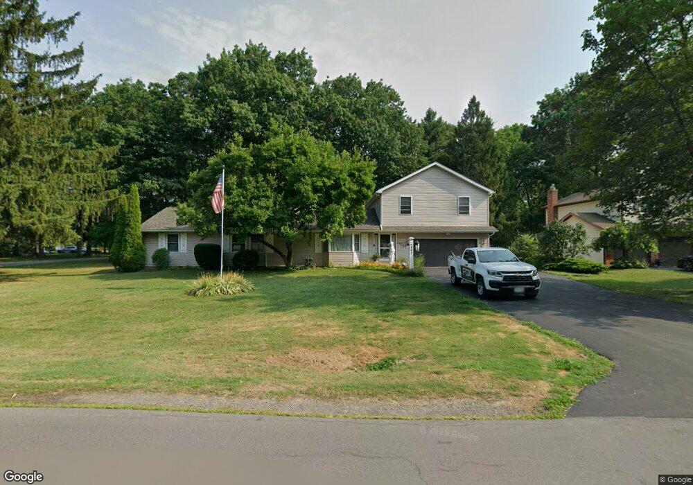
897 The Cir Lewiston, NY 14092
Estimated Value: $448,908 - $529,000
5
Beds
4
Baths
2,756
Sq Ft
$174/Sq Ft
Est. Value
About This Home
This home is located at 897 The Cir, Lewiston, NY 14092 and is currently estimated at $478,227, approximately $173 per square foot. 897 The Cir is a home located in Niagara County with nearby schools including Primary Education Center, Intermediate Education Center, and Lewiston Porter Middle School.
Ownership History
Date
Name
Owned For
Owner Type
Purchase Details
Closed on
Oct 25, 2002
Sold by
May Mary Ann
Bought by
May Mary Ann
Current Estimated Value
Purchase Details
Closed on
Sep 21, 1999
Sold by
May Mary Ann Trustee-
Bought by
May Mary Ann
Purchase Details
Closed on
Jul 19, 1999
Sold by
Stets Mary Ann
Bought by
May Mary Ann Trustee-
Purchase Details
Closed on
Nov 10, 1998
Create a Home Valuation Report for This Property
The Home Valuation Report is an in-depth analysis detailing your home's value as well as a comparison with similar homes in the area
Home Values in the Area
Average Home Value in this Area
Purchase History
| Date | Buyer | Sale Price | Title Company |
|---|---|---|---|
| May Mary Ann | -- | -- | |
| May Mary Ann | -- | -- | |
| May Mary Ann Trustee- | -- | -- | |
| -- | -- | -- |
Source: Public Records
Tax History
| Year | Tax Paid | Tax Assessment Tax Assessment Total Assessment is a certain percentage of the fair market value that is determined by local assessors to be the total taxable value of land and additions on the property. | Land | Improvement |
|---|---|---|---|---|
| 2024 | $6,678 | $150,300 | $22,900 | $127,400 |
| 2023 | $7,562 | $150,300 | $22,900 | $127,400 |
| 2022 | $6,646 | $150,300 | $22,900 | $127,400 |
| 2021 | $6,575 | $150,300 | $22,900 | $127,400 |
| 2020 | $6,060 | $150,300 | $22,900 | $127,400 |
| 2019 | $5,613 | $150,300 | $22,900 | $127,400 |
| 2018 | $5,798 | $150,300 | $22,900 | $127,400 |
| 2017 | $5,613 | $150,300 | $22,900 | $127,400 |
| 2016 | $5,602 | $150,300 | $22,900 | $127,400 |
| 2015 | -- | $150,300 | $22,900 | $127,400 |
| 2014 | -- | $150,300 | $22,900 | $127,400 |
Source: Public Records
Map
Nearby Homes
- 5151 Bridle Path Ln
- 5121 Bridle Path Ln
- 809 Carriage Ln
- 4961 Creek Road Extension
- 5120 Country Club Trail
- 970 Elliott Dr
- 715 Hillview Ct
- 5079 Forest Rd
- 933 Creek Road Extension
- 4951 Big Vista Dr
- 1014 Little Vista Dr
- 4822 E Eddy Dr
- 1043 Ridge Rd
- Lot 38 Eddy Dr W
- Lot 36 Eddy Dr W
- 530 Meadowbrook Dr
- 720 Raymond Dr
- 490 Ridge St
- VL Creek Rd
- V/L Creek Rd
Your Personal Tour Guide
Ask me questions while you tour the home.