8971 Road 162 Paulding, OH 45879
Estimated Value: $185,791 - $293,000
5
Beds
1
Bath
1,834
Sq Ft
$128/Sq Ft
Est. Value
About This Home
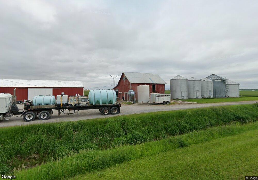
This home is located at 8971 Road 162, Paulding, OH 45879 and is currently estimated at $234,264, approximately $127 per square foot. 8971 Road 162 is a home located in Paulding County with nearby schools including Antwerp Local Elementary School and Antwerp Local High School.
Ownership History
Date
Name
Owned For
Owner Type
Purchase Details
Closed on
Sep 24, 2020
Sold by
Stoller Donald R and Stoller Gail A
Bought by
Stoller Donald R and Stoller Gail A
Current Estimated Value
Purchase Details
Closed on
Mar 22, 2017
Sold by
Stoller Donald R and Stoller Gail A
Bought by
Dtr Stoller Farms Llc
Purchase Details
Closed on
Mar 16, 2017
Sold by
Stoller Donald R and Stoller Justus R
Bought by
Stoller Donald R and Rywalski Teresa Jo
Purchase Details
Closed on
Nov 7, 2012
Sold by
Stoller Ruby M and The Justus R Stoller & Ruby M
Bought by
Stoller Donald and Rywalski Teresa Jo
Purchase Details
Closed on
Aug 30, 2001
Sold by
Stoller Donald R
Bought by
Stoller Donald R
Purchase Details
Closed on
Jun 27, 2001
Bought by
Stoller Donald R
Purchase Details
Closed on
Jul 17, 1992
Bought by
Stoller Donald R
Create a Home Valuation Report for This Property
The Home Valuation Report is an in-depth analysis detailing your home's value as well as a comparison with similar homes in the area
Purchase History
| Date | Buyer | Sale Price | Title Company |
|---|---|---|---|
| Stoller Donald R | -- | None Available | |
| Dtr Stoller Farms Llc | -- | None Available | |
| Stoller Donald R | -- | None Available | |
| Stoller Donald | -- | None Available | |
| Stoller Donald R | -- | -- | |
| Stoller Donald R | -- | -- | |
| Stoller Donald R | $55,000 | -- |
Source: Public Records
Tax History
| Year | Tax Paid | Tax Assessment Tax Assessment Total Assessment is a certain percentage of the fair market value that is determined by local assessors to be the total taxable value of land and additions on the property. | Land | Improvement |
|---|---|---|---|---|
| 2025 | $2,344 | $65,460 | $14,250 | $51,210 |
| 2024 | $2,344 | $50,340 | $10,960 | $39,380 |
| 2023 | $1,930 | $50,340 | $10,960 | $39,380 |
| 2022 | $1,903 | $50,340 | $10,960 | $39,380 |
| 2021 | $1,701 | $40,470 | $10,330 | $30,140 |
| 2020 | $1,758 | $40,470 | $10,330 | $30,140 |
| 2019 | $1,779 | $35,010 | $10,330 | $24,680 |
| 2018 | $1,412 | $35,010 | $10,330 | $24,680 |
| 2017 | $1,358 | $33,610 | $10,330 | $23,280 |
| 2016 | $1,358 | $33,610 | $10,330 | $23,280 |
| 2015 | $1,257 | $31,330 | $8,120 | $23,210 |
| 2014 | $1,483 | $37,380 | $8,120 | $29,260 |
| 2013 | $1,545 | $37,380 | $8,120 | $29,260 |
Source: Public Records
Map
Nearby Homes
- 11051 Road 93
- 780 W Jackson St
- 830 N Walnut St
- 215 N Dewitt St
- 614 W Jackson St
- 717 W Harrison St
- 714 W Wayne St
- 508 W Jackson St
- 780 N Williams St
- 520 W Wayne St
- 516 N Williams St
- 16453 Road 63
- 15010 U S 127
- 301 N Main St
- 1065 Emerald Rd
- 741 Tom Tim Dr
- 214 Weber St
- 212 Weber St
- 210 Weber St
- 13688 Kay St
Your Personal Tour Guide
Ask me questions while you tour the home.