8976 SW Green Dr Culver, OR 97734
Estimated Value: $850,000
3
Beds
3
Baths
2,496
Sq Ft
$341/Sq Ft
Est. Value
About This Home
This home is located at 8976 SW Green Dr, Culver, OR 97734 and is currently priced at $850,000, approximately $340 per square foot. 8976 SW Green Dr is a home located in Jefferson County with nearby schools including Culver Elementary School, Culver Middle School, and Culver High School.
Ownership History
Date
Name
Owned For
Owner Type
Purchase Details
Closed on
Oct 29, 2013
Sold by
Gildnes Gayle
Bought by
Mazour Michael J and Mazour Melissa A
Current Estimated Value
Purchase Details
Closed on
Oct 6, 2000
Sold by
Alley Jack D
Bought by
Mazour Mike and Mazour Kelly
Home Financials for this Owner
Home Financials are based on the most recent Mortgage that was taken out on this home.
Original Mortgage
$320,000
Interest Rate
5.85%
Mortgage Type
Adjustable Rate Mortgage/ARM
Create a Home Valuation Report for This Property
The Home Valuation Report is an in-depth analysis detailing your home's value as well as a comparison with similar homes in the area
Home Values in the Area
Average Home Value in this Area
Purchase History
| Date | Buyer | Sale Price | Title Company |
|---|---|---|---|
| Mazour Michael J | $110,000 | Jefferson County Title Co | |
| Mazour Mike | -- | Jefferson County Title Compa |
Source: Public Records
Mortgage History
| Date | Status | Borrower | Loan Amount |
|---|---|---|---|
| Previous Owner | Mazour Mike | $320,000 |
Source: Public Records
Tax History Compared to Growth
Tax History
| Year | Tax Paid | Tax Assessment Tax Assessment Total Assessment is a certain percentage of the fair market value that is determined by local assessors to be the total taxable value of land and additions on the property. | Land | Improvement |
|---|---|---|---|---|
| 2025 | $4,361 | $288,156 | -- | -- |
| 2024 | $4,248 | $280,021 | -- | -- |
| 2023 | $3,982 | $272,119 | $0 | $0 |
| 2022 | $3,879 | $264,441 | $0 | $0 |
| 2021 | $3,740 | $256,984 | $0 | $0 |
| 2020 | $3,591 | $250,723 | $0 | $0 |
| 2019 | $3,496 | $243,669 | $0 | $0 |
| 2018 | $3,382 | $236,813 | $0 | $0 |
| 2017 | $3,319 | $230,166 | $0 | $0 |
| 2016 | $3,332 | $223,756 | $0 | $0 |
| 2015 | $3,082 | $217,532 | $0 | $0 |
| 2014 | $3,082 | $211,483 | $0 | $0 |
| 2013 | -- | $235,851 | $0 | $0 |
Source: Public Records
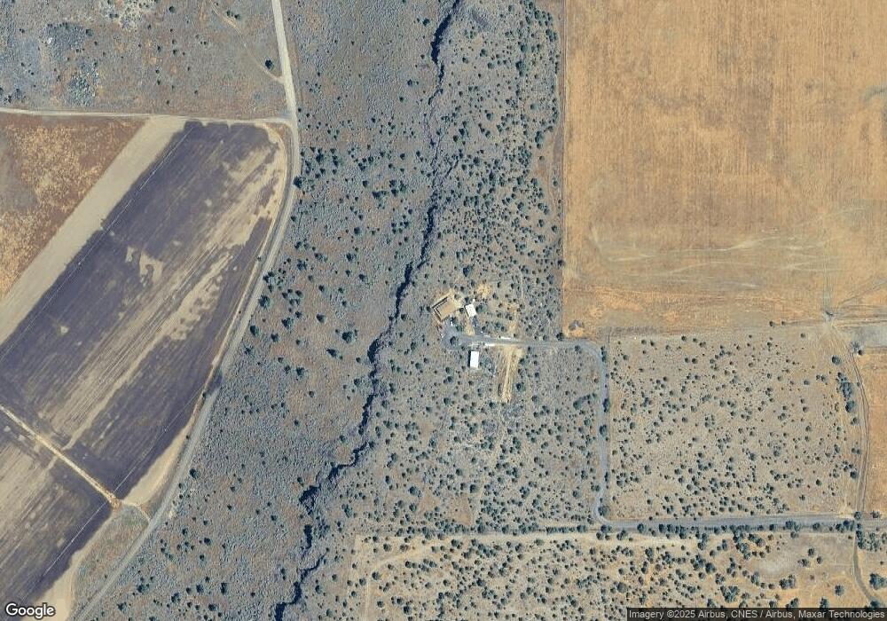
Map
Nearby Homes
- 5955 SW Bozarth Ln
- 10220 SW Ruth Dr
- 7056 SW Kent Ln
- 6542 SW Daly Ln
- 0 SW Wanker Unit 556217903
- 0 SW Wanker Unit 2200 220209349
- 410 2nd Ave
- 0 1st Ave Unit 220191585
- 213 E Sage Ln
- 6481 SW Wren St
- 326 E Sage Ln
- 311 Geneva St
- 180 Bluegrass Dr
- 430 E D St
- 10875 SW Mintken Ln
- 440 E Metolius St
- 264 Center Ridge Dr
- 721 Mountain Ridge Dr
- 10879 SW Mintken Rd
- 546 E A St
- 8925 SW Green Dr
- 8505 SW Green Dr
- 5950 SW Bozarth Ln
- 5812 SW Bozarth Ln
- 6057 SW Iris Ln
- 5666 SW Bozarth Ln
- 11188 SW Sagebrush Dr
- 391 Timothy Dr
- 321 Timothy Dr
- 9029 SW Crawford St
- 9095 SW Crawford St
- 9157 SW Crawford St
- 986 N Green Dr
- 6238 SW Pike Rd
- 9 SW Green Dr
- 9275 SW Green Dr
- 0 SW Green Dr Unit 2609027
- 0 SW Green Dr Unit 201306805
- 0 SW Green Dr Unit 201804725