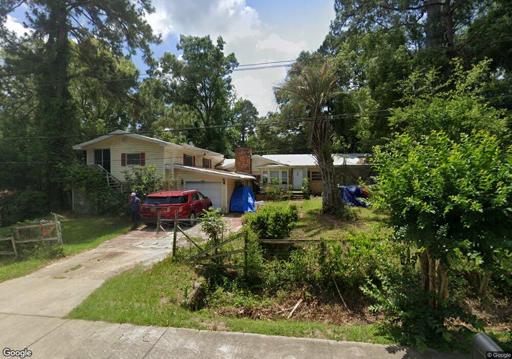
898 Joe Adams Rd Quincy, FL 32351
Estimated Value: $162,000 - $329,000
4
Beds
3
Baths
3,171
Sq Ft
$73/Sq Ft
Est. Value
About This Home
This home is located at 898 Joe Adams Rd, Quincy, FL 32351 and is currently estimated at $232,741, approximately $73 per square foot. 898 Joe Adams Rd is a home located in Gadsden County with nearby schools including Crossroad Academy.
Ownership History
Date
Name
Owned For
Owner Type
Purchase Details
Closed on
Jul 1, 2023
Sold by
Johnson Marva L
Bought by
Johnson Stanley J
Current Estimated Value
Purchase Details
Closed on
May 9, 2011
Sold by
Palmer Marva Lee
Bought by
Johnson Stanley and Williams Steffany Johnson
Purchase Details
Closed on
Apr 25, 2011
Sold by
Johnson Stanley and Palmer Everett S
Bought by
Palmer Marva Lee
Purchase Details
Closed on
Feb 22, 2011
Sold by
Johnson Marva A
Bought by
Palmer Everett S and Johnson Stanley J
Create a Home Valuation Report for This Property
The Home Valuation Report is an in-depth analysis detailing your home's value as well as a comparison with similar homes in the area
Home Values in the Area
Average Home Value in this Area
Purchase History
| Date | Buyer | Sale Price | Title Company |
|---|---|---|---|
| Johnson Stanley J | $100 | None Listed On Document | |
| Johnson Stanley J | $100 | None Listed On Document | |
| Johnson Stanley | -- | None Available | |
| Palmer Marva Lee | -- | None Available | |
| Palmer Everett S | -- | None Available |
Source: Public Records
Tax History Compared to Growth
Tax History
| Year | Tax Paid | Tax Assessment Tax Assessment Total Assessment is a certain percentage of the fair market value that is determined by local assessors to be the total taxable value of land and additions on the property. | Land | Improvement |
|---|---|---|---|---|
| 2024 | $801 | $101,265 | $6,825 | $94,440 |
| 2023 | $1,407 | $97,153 | $6,500 | $90,653 |
| 2022 | $1,350 | $92,864 | $5,000 | $87,864 |
| 2021 | $1,396 | $93,687 | $5,000 | $88,687 |
| 2020 | $1,267 | $85,242 | $5,000 | $80,242 |
| 2019 | $1,320 | $86,987 | $5,000 | $81,987 |
| 2018 | $1,340 | $86,987 | $0 | $0 |
| 2017 | $1,346 | $86,987 | $0 | $0 |
| 2016 | $1,390 | $88,390 | $0 | $0 |
| 2015 | $1,434 | $90,427 | $0 | $0 |
| 2014 | $1,383 | $92,464 | $0 | $0 |
Source: Public Records
Map
Nearby Homes
- XX Pat Thomas Pkwy
- TBD Pat Thomas Pkwy
- 0 Cooper Blvd Unit LotWP001 24911800
- 0 Cooper Blvd Unit 779416
- XXXX Strong Rd
- 762 Strong Rd
- 799 S Pat Thomas Pkwy
- xxx Cleveland St
- 944 Strong Rd
- 1204 Canal St
- 000 Circle Dr
- 1127 Hill St
- 244 Shiloh Rd
- 531 Williams St
- 332 S Shadow St
- 3-12-2N-4W-1100-0000 Station St
- 1738 Martin Luther King Blvd
- 00 Blue Star Hwy
- 1165 Selman Rd
- 1513 Live Oak St