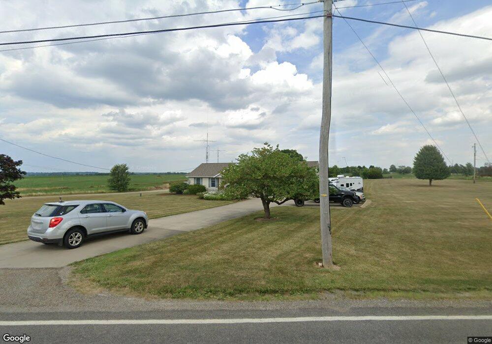
8980 Paris Ave Louisville, OH 44641
Estimated Value: $246,000 - $256,000
3
Beds
2
Baths
1,288
Sq Ft
$195/Sq Ft
Est. Value
About This Home
This home is located at 8980 Paris Ave, Louisville, OH 44641 and is currently estimated at $251,329, approximately $195 per square foot. 8980 Paris Ave is a home located in Stark County with nearby schools including Marlington High School.
Ownership History
Date
Name
Owned For
Owner Type
Purchase Details
Closed on
Oct 23, 2024
Sold by
Schillig Anthony J and Schillig Brenda L
Bought by
Anthony And Brenda Schillig Revocable Living and Schillig
Current Estimated Value
Purchase Details
Closed on
Mar 9, 2012
Sold by
Schillig Anthony J and Schillig Brenda L
Bought by
Schillig Anthony J and Schillig Brenda L
Home Financials for this Owner
Home Financials are based on the most recent Mortgage that was taken out on this home.
Original Mortgage
$64,000
Interest Rate
3.86%
Mortgage Type
New Conventional
Create a Home Valuation Report for This Property
The Home Valuation Report is an in-depth analysis detailing your home's value as well as a comparison with similar homes in the area
Home Values in the Area
Average Home Value in this Area
Purchase History
| Date | Buyer | Sale Price | Title Company |
|---|---|---|---|
| Anthony And Brenda Schillig Revocable Living | -- | None Listed On Document | |
| Schillig Anthony J | -- | Attorney |
Source: Public Records
Mortgage History
| Date | Status | Borrower | Loan Amount |
|---|---|---|---|
| Previous Owner | Schillig Anthony J | $64,000 |
Source: Public Records
Tax History Compared to Growth
Tax History
| Year | Tax Paid | Tax Assessment Tax Assessment Total Assessment is a certain percentage of the fair market value that is determined by local assessors to be the total taxable value of land and additions on the property. | Land | Improvement |
|---|---|---|---|---|
| 2025 | -- | $75,540 | $18,520 | $57,020 |
| 2024 | -- | $70,460 | $18,520 | $51,940 |
| 2023 | $2,368 | $64,300 | $14,880 | $49,420 |
| 2022 | $2,376 | $64,300 | $14,880 | $49,420 |
| 2021 | $2,384 | $64,300 | $14,880 | $49,420 |
| 2020 | $2,167 | $53,560 | $12,500 | $41,060 |
| 2019 | $2,152 | $53,560 | $12,500 | $41,060 |
| 2018 | $2,055 | $53,560 | $12,500 | $41,060 |
| 2017 | $1,985 | $47,890 | $10,860 | $37,030 |
| 2016 | $1,986 | $47,890 | $10,860 | $37,030 |
| 2015 | $1,989 | $47,890 | $10,860 | $37,030 |
| 2014 | $1,873 | $41,700 | $9,430 | $32,270 |
| 2013 | $916 | $41,700 | $9,430 | $32,270 |
Source: Public Records
Map
Nearby Homes
- 7844 Morningstar Dr
- 6052 N Nickelplate St
- 5990 Meese Rd NE
- 12200 Marlboro Ave NE
- 5495 Meese Rd NE
- 5765 Maplegrove St
- 6079 Eastlawn St NE
- 6285 California Ave
- 5474 Ravenna Ave
- 6150 Pilot View Cir
- 5700 Glena St
- 7875 Bentler Ave NE
- 3580 Brookridge Ave Lot 15
- 8736 Lynn Park St NE
- 316 E Reno Dr
- 0 Glenbar St
- 524 Glenbar St
- 0 Brookridge Ave
- 910 Crosswyck Cir
- 614 Reno Dr
- 8936 Paris Ave
- 8675 State St NE
- 8575 State St NE
- 8844 Paris Ave
- 8818 Paris Ave
- 8766 State St NE
- 8804 Paris Ave
- 8814 State St
- 8814 State St
- 9260 French Ave
- 8450 State St NE
- 8718 Paris Ave
- 8870 State St NE
- 8870 State St NE
- 8855 State St NE
- 9275 French Ave
- 9298 Paris Ave
- 8646 Paris Ave
- 9340 French Ave
- 8101 State St NE