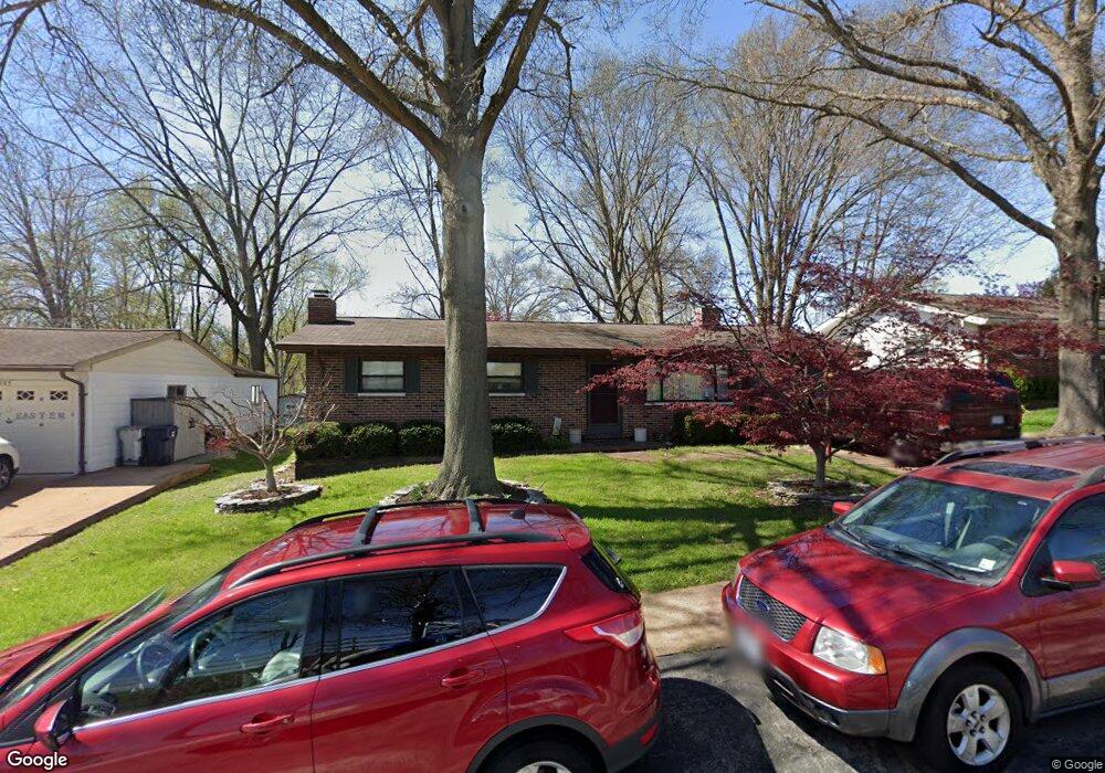
8981 Pardee Rd Saint Louis, MO 63123
Estimated Value: $251,000 - $288,182
3
Beds
3
Baths
1,120
Sq Ft
$247/Sq Ft
Est. Value
About This Home
This home is located at 8981 Pardee Rd, Saint Louis, MO 63123 and is currently estimated at $276,546, approximately $246 per square foot. 8981 Pardee Rd is a home located in St. Louis County with nearby schools including Long Elementary, Truman Middle School, and Lindbergh High School.
Ownership History
Date
Name
Owned For
Owner Type
Purchase Details
Closed on
Jun 12, 2023
Sold by
Dennis J Ludwig Revocable Trust
Bought by
Porter Hannah Kathryn
Current Estimated Value
Home Financials for this Owner
Home Financials are based on the most recent Mortgage that was taken out on this home.
Original Mortgage
$223,250
Outstanding Balance
$217,237
Interest Rate
6.35%
Mortgage Type
New Conventional
Estimated Equity
$59,309
Create a Home Valuation Report for This Property
The Home Valuation Report is an in-depth analysis detailing your home's value as well as a comparison with similar homes in the area
Home Values in the Area
Average Home Value in this Area
Purchase History
| Date | Buyer | Sale Price | Title Company |
|---|---|---|---|
| Porter Hannah Kathryn | -- | None Listed On Document |
Source: Public Records
Mortgage History
| Date | Status | Borrower | Loan Amount |
|---|---|---|---|
| Open | Porter Hannah Kathryn | $223,250 |
Source: Public Records
Tax History
| Year | Tax Paid | Tax Assessment Tax Assessment Total Assessment is a certain percentage of the fair market value that is determined by local assessors to be the total taxable value of land and additions on the property. | Land | Improvement |
|---|---|---|---|---|
| 2025 | $3,369 | $56,740 | $19,480 | $37,260 |
| 2024 | $3,369 | $48,440 | $19,480 | $28,960 |
| 2023 | $3,114 | $48,440 | $19,480 | $28,960 |
| 2022 | $3,277 | $45,430 | $19,480 | $25,950 |
| 2021 | $2,986 | $45,430 | $19,480 | $25,950 |
| 2020 | $2,889 | $42,370 | $14,610 | $27,760 |
| 2019 | $2,881 | $42,370 | $14,610 | $27,760 |
| 2018 | $2,238 | $29,750 | $8,910 | $20,840 |
| 2017 | $2,214 | $29,750 | $8,910 | $20,840 |
| 2016 | $1,957 | $26,600 | $8,910 | $17,690 |
Source: Public Records
Map
Nearby Homes
- 7919 Royal Arms Ct Unit 2
- 7908 Camelot Ln Unit 4
- 7654 Paragon Cir
- 9233 Queenston Dr
- 1653 Crabapple Ln
- 9456 Arban Dr
- 1412 Gardenia Dr
- 55 W Drake Ave
- 1463 Ronald Dr
- 8563 Old Sappington Rd
- 1330 Drayton Ave
- 638 Conover Ln
- 1433 Ronald Dr
- 10688 Gravois Rd
- 429 Forest Green Dr
- 689 Conover Ln
- 10612 Ashburn Ct
- 9756 Wickstrom Terrace
- 9757 Croftwood Dr
- 1038 Leawood Dr
- 8985 Pardee Rd
- 8977 Pardee Rd
- 8926 Lou Ct
- 8922 Lou Ct
- 8989 Pardee Rd
- 8744 Pardee Ln
- 8934 Lou Ct
- 8918 Lou Ct
- 8747 Pardee Ln
- 8965 Pardee Rd
- 8914 Lou Ct
- 8925 Lou Ct
- 7999 Royal Arms Ct Unit 1
- 8740 Pardee Ln
- 8745 Pardee Ln
- 7997 Royal Arms Ct Unit 1
- 7995 Royal Arms Ct
- 7993 Royal Arms Ct
- 9027 Pardee Rd
- 8743 Pardee Ln
Your Personal Tour Guide
Ask me questions while you tour the home.