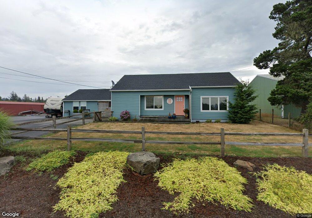
89877 W Anderson Rd Warrenton, OR 97146
Estimated Value: $302,000 - $402,000
2
Beds
1
Bath
1,028
Sq Ft
$355/Sq Ft
Est. Value
About This Home
This home is located at 89877 W Anderson Rd, Warrenton, OR 97146 and is currently estimated at $364,582, approximately $354 per square foot. 89877 W Anderson Rd is a home located in Clatsop County with nearby schools including Seaside High School.
Ownership History
Date
Name
Owned For
Owner Type
Purchase Details
Closed on
Dec 27, 2019
Sold by
Hensala Kenneth G and Halsen Julie M
Bought by
Halsen Jeremy and Halsen Sydney
Current Estimated Value
Home Financials for this Owner
Home Financials are based on the most recent Mortgage that was taken out on this home.
Original Mortgage
$198,000
Outstanding Balance
$174,941
Interest Rate
3.6%
Mortgage Type
Commercial
Estimated Equity
$189,641
Purchase Details
Closed on
Feb 21, 2013
Sold by
Hensala Kenneth G
Bought by
Hensala Kenneth G and Halsen Julie M
Create a Home Valuation Report for This Property
The Home Valuation Report is an in-depth analysis detailing your home's value as well as a comparison with similar homes in the area
Home Values in the Area
Average Home Value in this Area
Purchase History
| Date | Buyer | Sale Price | Title Company |
|---|---|---|---|
| Halsen Jeremy | $200,000 | Pacific Title Company | |
| Hensala Kenneth G | -- | Accommodation | |
| Hensala Kenneth G | -- | None Available |
Source: Public Records
Mortgage History
| Date | Status | Borrower | Loan Amount |
|---|---|---|---|
| Open | Halsen Jeremy | $198,000 |
Source: Public Records
Tax History Compared to Growth
Tax History
| Year | Tax Paid | Tax Assessment Tax Assessment Total Assessment is a certain percentage of the fair market value that is determined by local assessors to be the total taxable value of land and additions on the property. | Land | Improvement |
|---|---|---|---|---|
| 2024 | $2,243 | $170,712 | -- | -- |
| 2023 | $2,175 | $165,741 | $0 | $0 |
| 2022 | $2,121 | $160,914 | $0 | $0 |
| 2021 | $2,076 | $156,228 | $0 | $0 |
| 2020 | $2,027 | $151,679 | $0 | $0 |
| 2019 | $1,922 | $147,262 | $0 | $0 |
| 2018 | $1,870 | $142,974 | $0 | $0 |
| 2017 | $1,783 | $138,811 | $0 | $0 |
| 2016 | $1,492 | $134,769 | $85,546 | $49,223 |
| 2015 | $1,330 | $130,845 | $83,055 | $47,790 |
| 2014 | $1,323 | $129,679 | $0 | $0 |
| 2013 | -- | $125,903 | $0 | $0 |
Source: Public Records
Map
Nearby Homes
- 0 Seales Rd
- VL Hawkins Rd
- 0 Hawkins Rd
- 33765 Lake Front Dr
- 33455 Bing Ln
- 33467 SW Old Pine Dr
- 90023 Manion Dr
- 0 Vacant Lot Manion Dr
- 90578 Wind and Sea Loop
- 90214 Hobie Rd
- 90114 Manion Dr
- 90238 Hobie Rd
- 89728 Ocean Dr
- 90250 Hobie Rd
- 0 Dellmoor Loop
- 000 Dellmoor Loop
- 0 Vl Cullaby Lake Ln
- 90431 Lewis Rd
- 90517 Birdie Dr
- 89859 W Anderson Rd
- 89887 W Anderson Rd
- 89846 W Anderson Rd
- 89841 W Anderson Rd
- 89830 W Anderson Rd
- 89937 Highway 101
- 89937 Us-101
- 89840 Highway 101
- 89838 Highway 101
- 89777 W Anderson Rd
- 89776 U S 101
- 89776 Hwy 101
- 89776 Highway 101
- 89778 Highway 101
- 89725 Oregon Coast Hwy
- 89748 Highway 101
- 89872 Seales Rd
- 89731 W Anderson Rd
- 89740 Highway 101
- 89786 Seales Rd