89890 Demming Rd Elmira, OR 97437
Estimated Value: $653,368 - $764,000
3
Beds
2
Baths
1,789
Sq Ft
$396/Sq Ft
Est. Value
About This Home
This home is located at 89890 Demming Rd, Elmira, OR 97437 and is currently estimated at $708,684, approximately $396 per square foot. 89890 Demming Rd is a home with nearby schools including Elmira Elementary School, Fern Ridge Middle School, and Elmira High School.
Ownership History
Date
Name
Owned For
Owner Type
Purchase Details
Closed on
Mar 31, 2022
Sold by
Brown Joint Trust
Bought by
Brown Jeffrey S and Brown Tana M
Current Estimated Value
Home Financials for this Owner
Home Financials are based on the most recent Mortgage that was taken out on this home.
Original Mortgage
$480,000
Outstanding Balance
$451,376
Interest Rate
4.67%
Mortgage Type
New Conventional
Estimated Equity
$257,308
Purchase Details
Closed on
Oct 5, 2021
Sold by
Brown Joint Trust
Bought by
Brown Jeffrey S and Brown Tana M
Create a Home Valuation Report for This Property
The Home Valuation Report is an in-depth analysis detailing your home's value as well as a comparison with similar homes in the area
Home Values in the Area
Average Home Value in this Area
Purchase History
| Date | Buyer | Sale Price | Title Company |
|---|---|---|---|
| Brown Jeffrey S | $107,000 | Cascade Title | |
| Brown Jeffrey S | $600,000 | Cascade Title |
Source: Public Records
Mortgage History
| Date | Status | Borrower | Loan Amount |
|---|---|---|---|
| Open | Brown Jeffrey S | $480,000 |
Source: Public Records
Tax History Compared to Growth
Tax History
| Year | Tax Paid | Tax Assessment Tax Assessment Total Assessment is a certain percentage of the fair market value that is determined by local assessors to be the total taxable value of land and additions on the property. | Land | Improvement |
|---|---|---|---|---|
| 2025 | $2,899 | $218,806 | -- | -- |
| 2024 | $2,818 | $212,535 | -- | -- |
| 2023 | $2,818 | $206,464 | $0 | $0 |
| 2022 | $2,637 | $200,566 | $0 | $0 |
| 2021 | $2,427 | $194,856 | $0 | $0 |
| 2020 | $2,366 | $189,289 | $0 | $0 |
| 2019 | $2,309 | $183,902 | $0 | $0 |
| 2018 | $2,324 | $180,789 | $0 | $0 |
| 2017 | $2,227 | $180,789 | $0 | $0 |
| 2016 | $1,931 | $162,631 | $0 | $0 |
| 2015 | $1,891 | $156,340 | $0 | $0 |
| 2014 | $1,903 | $156,190 | $0 | $0 |
Source: Public Records
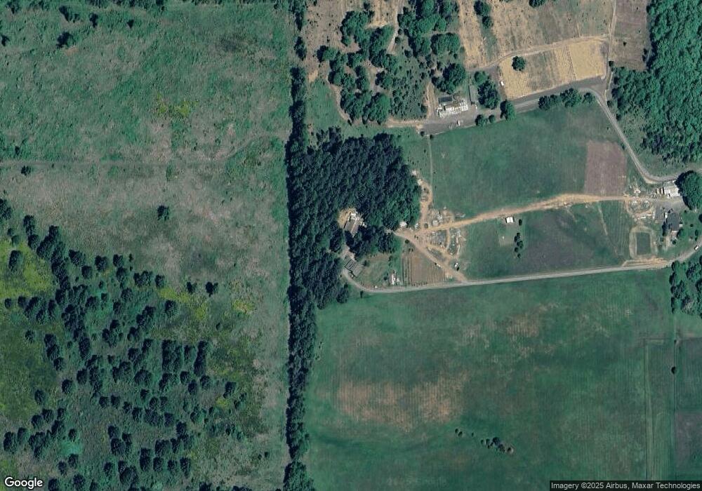
Map
Nearby Homes
- 24417 Sailview Dr
- 89312 Territorial Rd
- 89975 Sheffler Rd
- 90361 Baker Rd
- 90245 Sheffler Rd
- 88793 Territorial Hwy
- 0 Territorial Hwy
- 0 Lakeshore Lot 1 Unit 119637472
- 0 Lakeshore Lot 2
- 0
- 0 Umanski Ln
- 88800 Winter Ln
- 25234 Tanglewood Way
- 25262 Tanglewood Way
- 25228 Tanglewood Way
- 0 Jeans Rd Unit 22292812
- 0 Jeans Rd Unit 758212635
- 0 Jeans Rd Unit 218932234
- 88454 Sproat Ranch Rd
- 25221 Tanglewood Way
- 89900 Demming Rd
- 90090 Killian Ln
- 90030 Power Ln
- 90005 Valley Vista Dr
- 89656 Demming Rd
- 90050 Power Ln
- 20397 Lamb Rd
- 24932 Tree Ln
- 89990 Demming Rd
- 90011 Valley Vista Dr
- 90050 Killian Ln
- 90090 Power Ln
- 90035 Power Ln
- 89915 Demming Rd
- 24946 Tree Ln
- 90080 Killian Ln
- 89586 Demming Rd
- 90037 Valley Vista Dr
- 89584 Demming Rd
- 25113 Lamb Rd