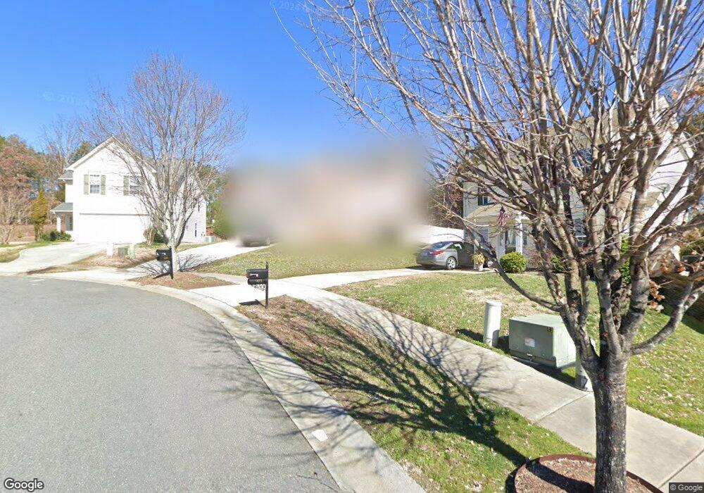
899 Ramsgate Dr SW Concord, NC 28025
Estimated Value: $336,000 - $355,000
5
Beds
3
Baths
2,149
Sq Ft
$159/Sq Ft
Est. Value
About This Home
This home is located at 899 Ramsgate Dr SW, Concord, NC 28025 and is currently estimated at $341,836, approximately $159 per square foot. 899 Ramsgate Dr SW is a home located in Cabarrus County with nearby schools including A.T. Allen Elementary School, C.C. Griffin Middle School, and Central Cabarrus High School.
Ownership History
Date
Name
Owned For
Owner Type
Purchase Details
Closed on
May 17, 2006
Sold by
Dan Moser Co Inc
Bought by
Alrod Idan
Current Estimated Value
Home Financials for this Owner
Home Financials are based on the most recent Mortgage that was taken out on this home.
Original Mortgage
$121,999
Outstanding Balance
$73,996
Interest Rate
7.24%
Mortgage Type
Fannie Mae Freddie Mac
Estimated Equity
$267,840
Create a Home Valuation Report for This Property
The Home Valuation Report is an in-depth analysis detailing your home's value as well as a comparison with similar homes in the area
Home Values in the Area
Average Home Value in this Area
Purchase History
| Date | Buyer | Sale Price | Title Company |
|---|---|---|---|
| Alrod Idan | $175,000 | Chicago Title Insurance Co |
Source: Public Records
Mortgage History
| Date | Status | Borrower | Loan Amount |
|---|---|---|---|
| Open | Alrod Idan | $121,999 |
Source: Public Records
Tax History
| Year | Tax Paid | Tax Assessment Tax Assessment Total Assessment is a certain percentage of the fair market value that is determined by local assessors to be the total taxable value of land and additions on the property. | Land | Improvement |
|---|---|---|---|---|
| 2025 | -- | $320,930 | $68,000 | $252,930 |
| 2024 | -- | $320,930 | $68,000 | $252,930 |
| 2023 | $2,603 | $213,400 | $40,000 | $173,400 |
| 2022 | $2,603 | $213,400 | $40,000 | $173,400 |
| 2021 | $2,603 | $213,400 | $40,000 | $173,400 |
| 2020 | $2,603 | $213,400 | $40,000 | $173,400 |
| 2019 | $1,987 | $162,840 | $20,000 | $142,840 |
| 2018 | $1,856 | $154,640 | $20,000 | $134,640 |
| 2017 | $1,825 | $154,640 | $20,000 | $134,640 |
| 2016 | $1,082 | $139,120 | $24,000 | $115,120 |
| 2015 | $1,642 | $139,120 | $24,000 | $115,120 |
| 2014 | $1,642 | $139,120 | $24,000 | $115,120 |
Source: Public Records
Map
Nearby Homes
- 999 Ramsgate Dr SW
- 1039 Manston Place SW
- 741 Nannyberry Ln
- 630 Shellbark Dr
- 4003 Long Arrow Dr Unit 366
- 618 Bloomover St
- 4194 Clifftonville Ave SW
- 836 Chastain Ave
- 608 Nannyberry Ln
- 3969 Potts Grove Place
- 4018 Bethesda Place
- 581 Winborne Ave SW
- 1308 Roseberry Place SW
- 303 Olde North Church Dr Unit 38
- 386 Morning Dew Dr
- 3560 Us Highway 601 S
- 4410 Zion Church Rd
- 1040 Castle Rock Ct
- 1009 Braxton Dr
- 5016 Hildreth Ct
- 895 Ramsgate Dr SW
- 903 Ramsgate Dr SW
- 903 Ramsgate Dr SW Unit 107
- 907 Ramsgate Dr SW
- 892 Ramsgate Dr SW
- 896 Ramsgate Dr SW
- 915 Ramsgate Dr SW
- 900 Ramsgate Dr SW
- 908 Ramsgate Dr SW
- 904 Ramsgate Dr SW
- 919 Ramsgate Dr SW
- 3991 Quiet Stream Dr
- 3990 Quiet Stream Dr
- 926 Ramsgate Dr SW
- 4104 Margate St SW
- 4108 Margate St SW
- 4102 Margate St SW
- 4112 Margate St SW
- 4116 Margate St SW
- 923 Ramsgate Dr SW
Your Personal Tour Guide
Ask me questions while you tour the home.