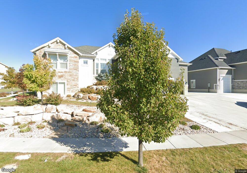
899 Saint Andrews Dr Unit 1010 Syracuse, UT 84075
Estimated Value: $807,000 - $1,038,000
4
Beds
3
Baths
4,552
Sq Ft
$198/Sq Ft
Est. Value
About This Home
This home is located at 899 Saint Andrews Dr Unit 1010, Syracuse, UT 84075 and is currently estimated at $902,987, approximately $198 per square foot. 899 Saint Andrews Dr Unit 1010 is a home located in Davis County with nearby schools including Buffalo Point School, Syracuse Junior High School, and Syracuse High School.
Ownership History
Date
Name
Owned For
Owner Type
Purchase Details
Closed on
Dec 27, 2023
Sold by
Bingham Jason
Bought by
Jason And Nicole Bingham Family Trust and Bingham
Current Estimated Value
Create a Home Valuation Report for This Property
The Home Valuation Report is an in-depth analysis detailing your home's value as well as a comparison with similar homes in the area
Home Values in the Area
Average Home Value in this Area
Purchase History
| Date | Buyer | Sale Price | Title Company |
|---|---|---|---|
| Jason And Nicole Bingham Family Trust | -- | None Listed On Document |
Source: Public Records
Tax History Compared to Growth
Tax History
| Year | Tax Paid | Tax Assessment Tax Assessment Total Assessment is a certain percentage of the fair market value that is determined by local assessors to be the total taxable value of land and additions on the property. | Land | Improvement |
|---|---|---|---|---|
| 2025 | $4,800 | $463,100 | $118,447 | $344,653 |
| 2024 | $4,468 | $433,950 | $102,284 | $331,666 |
| 2023 | $4,204 | $744,000 | $146,543 | $597,457 |
| 2022 | $4,421 | $429,000 | $77,834 | $351,166 |
| 2021 | $4,041 | $607,000 | $112,912 | $494,088 |
| 2020 | $3,590 | $522,000 | $96,113 | $425,887 |
| 2019 | $3,755 | $539,000 | $97,203 | $441,797 |
| 2018 | $3,558 | $507,000 | $92,945 | $414,055 |
| 2016 | $3,191 | $238,480 | $36,613 | $201,867 |
| 2015 | $935 | $66,569 | $66,569 | $0 |
| 2014 | $918 | $66,569 | $66,569 | $0 |
Source: Public Records
Map
Nearby Homes
- 851 S 3525 W
- 3627 W Augusta Dr
- 3565 W 800 S
- 3649 W 800 S
- 3661 W 800 S
- 3736 W 1225 S
- 1441 Brookshire Dr
- 3564 Princeville Dr
- 2840 W 1200 S
- 3867 Rungsted Cir
- 3951 Baltimore Cir
- 3882 Turnberry Dr
- 1084 S 4090 W
- 835 S Criddle Rd
- 4105 W 550 S
- 1039 S 4250 W
- 164 S 2875 W
- 4244 W 625 S
- 3579 W 1775 S
- 1159 S 4350 W
- 917 Saint Andrews Dr
- 881 Saint Andrews Dr
- 881 St Andrews Dr
- 3417 Jupiter Hills Dr
- 939 Saint Andrews Dr
- 939 Saint Andrews Dr Unit 1012
- 918 St Andrews Dr
- 863 Saint Andrews Dr
- 936 Saint Andrews Dr
- 878 Saint Andrews Dr
- 3437 Jupiter Hills Dr
- 953 Saint Andrews Dr
- 849 St Andrews Dr
- 849 St Andrews Dr
- 956 Saint Andrews Dr
- 849 Saint Andrews Dr
- 3428 Jupiter Hills Dr
- 846 Saint Andrews Dr
- 961 Spyglass Hill Unit 1014
- 972 Saint Andrews Dr