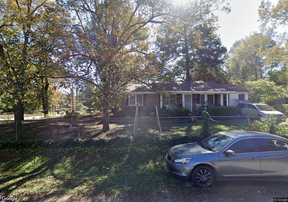
899 Trinity Place Macon, GA 31217
Estimated Value: $75,000 - $81,000
3
Beds
2
Baths
1,144
Sq Ft
$68/Sq Ft
Est. Value
About This Home
This home is located at 899 Trinity Place, Macon, GA 31217 and is currently estimated at $78,159, approximately $68 per square foot. 899 Trinity Place is a home located in Bibb County with nearby schools including Martin Luther King Jr. Elementary School, Appling Middle School, and Northeast High School.
Ownership History
Date
Name
Owned For
Owner Type
Purchase Details
Closed on
Dec 16, 2021
Sold by
Hunt Rose L A
Bought by
Armstrong Rosie L
Current Estimated Value
Purchase Details
Closed on
Aug 10, 2021
Sold by
Armstrong Rose L
Bought by
Hunt Rose L A
Purchase Details
Closed on
Jul 16, 2015
Sold by
Hunt Milton
Bought by
Hunt Rosie Lee
Purchase Details
Closed on
Dec 3, 2009
Sold by
Hunt Milton
Bought by
Hunt Rose Lee
Create a Home Valuation Report for This Property
The Home Valuation Report is an in-depth analysis detailing your home's value as well as a comparison with similar homes in the area
Purchase History
| Date | Buyer | Sale Price | Title Company |
|---|---|---|---|
| Armstrong Rosie L | -- | None Listed On Document | |
| Hunt Rose L A | -- | None Available | |
| Hunt Rosie Lee | -- | None Available | |
| Hunt Rose Lee | -- | None Available |
Source: Public Records
Tax History
| Year | Tax Paid | Tax Assessment Tax Assessment Total Assessment is a certain percentage of the fair market value that is determined by local assessors to be the total taxable value of land and additions on the property. | Land | Improvement |
|---|---|---|---|---|
| 2025 | $324 | $27,754 | $3,564 | $24,190 |
| 2024 | $268 | $25,026 | $3,240 | $21,786 |
| 2023 | $284 | $23,961 | $2,175 | $21,786 |
| 2022 | $78 | $15,348 | $3,918 | $11,430 |
| 2021 | $392 | $10,305 | $1,959 | $8,346 |
| 2020 | $381 | $9,534 | $1,959 | $7,575 |
| 2019 | $403 | $10,088 | $1,742 | $8,346 |
| 2018 | $120 | $10,088 | $1,742 | $8,346 |
| 2017 | $0 | $9,358 | $1,742 | $7,616 |
| 2016 | $35 | $9,358 | $1,742 | $7,616 |
| 2015 | $35 | $9,358 | $1,742 | $7,616 |
| 2014 | $121 | $9,358 | $1,742 | $7,616 |
Source: Public Records
Map
Nearby Homes
- 955 Elder St
- 806 Magnolia Dr
- 765 Magnolia Dr
- 1008 Sunnydale Dr
- 1215 Hawkinsville Ave
- 1244 Hall St
- 710 Magnolia Dr
- 1336 Jeffersonville Rd
- 684 Reese St
- 1024 Clarks Ln
- 909 Johnson St
- 1235 Boone St
- 845 Norris St
- 1012 Emery Hwy
- 972 Norris St
- 857 Mitchell St
- 725 Schaeffer Place
- 837 Artic Cir
- 774 Maynard St
- 875 Artic Place
- 900 Magnolia Dr
- 956 Magnolia Dr
- 889 Trinity Place
- 883 Trinity Place
- 929 Magnolia Dr Unit A
- 929 Magnolia Dr
- 929 Magnolia Dr Unit 4
- 875 Trinity Place
- 931 Magnolia Dr
- 921 Magnolia Dr
- 907 Magnolia Dr
- 865 Trinity Place
- 891 Magnolia Dr
- 984 Magnolia Dr
- 961 Magnolia Dr
- 857 Trinity Place
- 850 Magnolia Dr
- 845 Trinity Place
- 985 Magnolia Dr
- 1010 Magnolia Dr
Your Personal Tour Guide
Ask me questions while you tour the home.