Estimated Value: $458,732
--
Bed
6
Baths
5,000
Sq Ft
$92/Sq Ft
Est. Value
About This Home
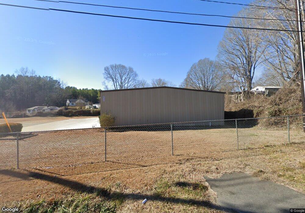
This home is located at 899 W Liberty St, York, SC 29745 and is currently estimated at $458,732, approximately $91 per square foot. 899 W Liberty St is a home located in York County with nearby schools including Cotton Belt Elementary School, York Intermediate School, and York Middle School.
Ownership History
Date
Name
Owned For
Owner Type
Purchase Details
Closed on
Mar 14, 2024
Sold by
Sgm Properties Sc Llc
Bought by
Fannin Properties Llc
Current Estimated Value
Purchase Details
Closed on
Aug 29, 2014
Sold by
Green Eddie
Bought by
Wyatt James M and Wyatt Joyce C
Home Financials for this Owner
Home Financials are based on the most recent Mortgage that was taken out on this home.
Original Mortgage
$90,750
Interest Rate
4.19%
Mortgage Type
Commercial
Purchase Details
Closed on
Nov 30, 1999
Sold by
Brm Invest Inc
Bought by
Green Eddie
Create a Home Valuation Report for This Property
The Home Valuation Report is an in-depth analysis detailing your home's value as well as a comparison with similar homes in the area
Home Values in the Area
Average Home Value in this Area
Purchase History
| Date | Buyer | Sale Price | Title Company |
|---|---|---|---|
| Fannin Properties Llc | $458,000 | None Listed On Document | |
| Wyatt James M | $121,000 | -- | |
| Green Eddie | $136,000 | -- |
Source: Public Records
Mortgage History
| Date | Status | Borrower | Loan Amount |
|---|---|---|---|
| Previous Owner | Wyatt James M | $90,750 |
Source: Public Records
Tax History Compared to Growth
Tax History
| Year | Tax Paid | Tax Assessment Tax Assessment Total Assessment is a certain percentage of the fair market value that is determined by local assessors to be the total taxable value of land and additions on the property. | Land | Improvement |
|---|---|---|---|---|
| 2024 | $5,193 | $9,766 | $3,120 | $6,646 |
| 2023 | $5,140 | $9,766 | $3,120 | $6,646 |
| 2022 | $4,988 | $9,766 | $3,120 | $6,646 |
| 2021 | -- | $9,766 | $3,120 | $6,646 |
| 2020 | $4,845 | $9,766 | $0 | $0 |
| 2019 | $4,794 | $9,120 | $0 | $0 |
| 2018 | $4,412 | $9,120 | $0 | $0 |
| 2017 | $4,215 | $8,610 | $0 | $0 |
| 2016 | $4,155 | $8,610 | $0 | $0 |
| 2014 | $3,252 | $8,610 | $3,120 | $5,490 |
| 2013 | $3,252 | $7,224 | $2,256 | $4,968 |
Source: Public Records
Map
Nearby Homes
- 446 Brannon Meadows Dr
- 305 Woodcrest Dr
- 838 Foxglove Ln
- 404 Brannon Meadows Dr
- 839 Foxglove Ln
- 509 California Cir
- .99 acres Highway 321
- 1211 Whitehall Hill Rd
- 191 Washington St
- 131 Lowry Row Unit 8
- 1256 Whitehall Hill Rd
- 629 Gants Rd
- 634 Gants Rd
- 730 Gants Rd
- 1507 Cazador Ln
- 25 Magnolia St
- 28 Maiden Ln
- 40 Magnolia St
- 152 Reading St
- 00 Alexander Love Hwy
- 105 Fleetwood Rd
- 107 Fleetwood Rd
- 101 Fleetwood Rd
- Trct 6 Fleetwood Rd
- Trct 4 Fleetwood Rd
- 36ACR Black Hwy
- Trct 5 Fleetwood Rd
- 109 Fleetwood Rd
- 2019 Ridgecrest Park Dr
- 111 Fleetwood Rd
- 930 Liberty St W
- 113 Fleetwood Rd
- 2051 Ridgecrest Park Dr
- 2059 Ridgecrest Park Dr
- 115 Fleetwood Rd
- 2233 Lemon Tree Ln
- 1128 Wellington Square Dr
- 1107 Wellington Square Dr
- 1117 Wellington Square Dr
- 1140 Wellington Square Dr