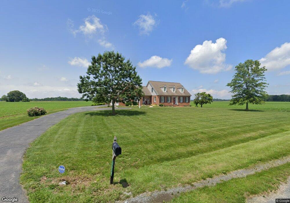
8990 Stockton Startt Rd Chestertown, MD 21620
Estimated Value: $526,000 - $1,006,493
--
Bed
4
Baths
2,689
Sq Ft
$277/Sq Ft
Est. Value
About This Home
This home is located at 8990 Stockton Startt Rd, Chestertown, MD 21620 and is currently estimated at $745,164, approximately $277 per square foot. 8990 Stockton Startt Rd is a home located in Kent County with nearby schools including Center for Innovation, Kent County Middle School, and Kent County High School.
Ownership History
Date
Name
Owned For
Owner Type
Purchase Details
Closed on
Jun 18, 2024
Sold by
Zeiset Abram S
Bought by
Zeiset Eric M and Zeiset Constance
Current Estimated Value
Purchase Details
Closed on
Feb 16, 2011
Sold by
Zeiset Abram S and Zeiset Sara E
Bought by
Zeiset Abram S and Zeiset Sara E
Purchase Details
Closed on
Oct 11, 2005
Sold by
Zeiset Abram S
Bought by
Zeiset Abram S
Create a Home Valuation Report for This Property
The Home Valuation Report is an in-depth analysis detailing your home's value as well as a comparison with similar homes in the area
Home Values in the Area
Average Home Value in this Area
Purchase History
| Date | Buyer | Sale Price | Title Company |
|---|---|---|---|
| Zeiset Eric M | -- | None Listed On Document | |
| Zeiset Eric M | -- | None Listed On Document | |
| Zeiset Abram S | -- | -- | |
| Zeiset Abram S | -- | -- |
Source: Public Records
Tax History Compared to Growth
Tax History
| Year | Tax Paid | Tax Assessment Tax Assessment Total Assessment is a certain percentage of the fair market value that is determined by local assessors to be the total taxable value of land and additions on the property. | Land | Improvement |
|---|---|---|---|---|
| 2025 | $5,403 | $476,467 | $0 | $0 |
| 2024 | $5,035 | $444,000 | $133,100 | $310,900 |
| 2023 | $4,903 | $440,100 | $0 | $0 |
| 2022 | $4,903 | $436,200 | $0 | $0 |
| 2021 | $4,859 | $432,300 | $133,100 | $299,200 |
| 2020 | $6,907 | $429,267 | $0 | $0 |
| 2019 | $4,833 | $426,233 | $0 | $0 |
| 2018 | $6,275 | $423,200 | $133,100 | $290,100 |
| 2017 | $6,112 | $423,200 | $0 | $0 |
| 2016 | -- | $423,200 | $0 | $0 |
| 2015 | $4,640 | $432,900 | $0 | $0 |
| 2014 | $4,640 | $432,900 | $0 | $0 |
Source: Public Records
Map
Nearby Homes
- 24543 Chestertown Rd
- 100 Adela Way
- 116 Harlan Loop
- 110 Trafford Dr
- 0 Cromwell Clark Rd
- 311 Devon Dr
- Lot 9 Prestwick Dr
- 251 Devon Dr
- 318 Lincoln Dr
- 23110 Old Fairlee Rd
- 7653 Broad Neck Rd
- 23069 Raleigh Rd
- 10121 Fairlee Rd
- 107 Malone Ave
- 23043 Bay Shore Spur
- 2 Scheeler Rd
- 141 Prospect St
- 611 Cannon St
- 423 Calvert St
- 109 S College Ave
- 24420 Chestertown Rd
- 8961 Earl Nicholson Rd
- 212 North St NW
- 24476 Chestertown Rd
- 24377 Chestertown Rd
- 24363 Chestertown Rd
- 24349 Chestertown Rd
- 24391 Chestertown Rd
- 24339 Chestertown Rd
- 24325 Chestertown Rd
- 24429 Chestertown Rd
- 24311 Chestertown Rd
- 24435 Chestertown Rd
- 24301 Chestertown Rd
- 24291 Chestertown Rd
- 24275 Chestertown Rd
- 24251 Chestertown Rd
- 24239 Chestertown Rd
- 24519 Chestertown Rd
- 24231 Chestertown Rd