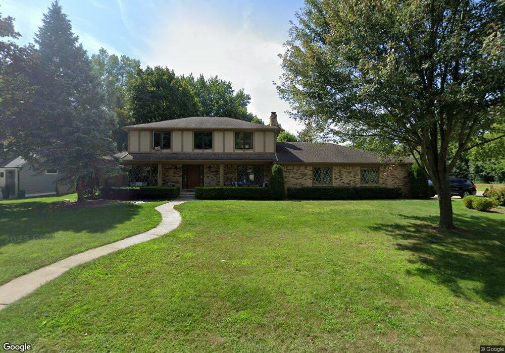
8993 Tamarack Ct Plymouth, MI 48170
Estimated Value: $628,691 - $702,000
4
Beds
4
Baths
2,766
Sq Ft
$238/Sq Ft
Est. Value
About This Home
This home is located at 8993 Tamarack Ct, Plymouth, MI 48170 and is currently estimated at $658,423, approximately $238 per square foot. 8993 Tamarack Ct is a home located in Wayne County with nearby schools including Canton High School, Isbister Elementary School, and Plymouth High School.
Ownership History
Date
Name
Owned For
Owner Type
Purchase Details
Closed on
Aug 30, 2023
Sold by
Partain Mable A
Bought by
Frantsen Michael and Frantsen Kelly
Current Estimated Value
Home Financials for this Owner
Home Financials are based on the most recent Mortgage that was taken out on this home.
Original Mortgage
$432,000
Outstanding Balance
$422,524
Interest Rate
6.78%
Mortgage Type
New Conventional
Estimated Equity
$235,899
Purchase Details
Closed on
Dec 8, 2020
Sold by
Partain Arthur D and Partain Mable A
Bought by
Partain Arthur D and Partain Mable A
Create a Home Valuation Report for This Property
The Home Valuation Report is an in-depth analysis detailing your home's value as well as a comparison with similar homes in the area
Home Values in the Area
Average Home Value in this Area
Purchase History
| Date | Buyer | Sale Price | Title Company |
|---|---|---|---|
| Frantsen Michael | $540,000 | None Listed On Document | |
| Partain Arthur D | -- | None Available |
Source: Public Records
Mortgage History
| Date | Status | Borrower | Loan Amount |
|---|---|---|---|
| Open | Frantsen Michael | $432,000 |
Source: Public Records
Tax History Compared to Growth
Tax History
| Year | Tax Paid | Tax Assessment Tax Assessment Total Assessment is a certain percentage of the fair market value that is determined by local assessors to be the total taxable value of land and additions on the property. | Land | Improvement |
|---|---|---|---|---|
| 2025 | $6,304 | $280,400 | $0 | $0 |
| 2024 | $6,304 | $267,900 | $0 | $0 |
| 2023 | $4,107 | $215,600 | $0 | $0 |
| 2022 | $5,464 | $196,500 | $0 | $0 |
| 2021 | $5,301 | $193,300 | $0 | $0 |
| 2019 | $5,142 | $205,740 | $0 | $0 |
| 2018 | $3,515 | $180,630 | $0 | $0 |
| 2017 | $2,456 | $39,800 | $0 | $0 |
| 2016 | $4,600 | $176,200 | $0 | $0 |
| 2015 | $14,718 | $183,360 | $0 | $0 |
| 2013 | $14,259 | $158,670 | $0 | $0 |
| 2012 | -- | $145,060 | $39,760 | $105,300 |
Source: Public Records
Map
Nearby Homes
- 9350 Colony Farms Ct
- 9079 Woodgrove Dr
- 9421 Mapletree Dr
- 9377 Pineview Dr
- 48814 Gyde Rd
- 0 N Beck Rd
- 8140 N Pointe Ct
- 48100 Powell Rd
- 49238 Plum Tree Dr
- 11431 Sandalwood Dr
- 50157 E Fellows Creek Ct
- 11809 Amherst Ct
- 9875 Ann Arbor Trail
- 7809 Haverhill Ct N
- 48406 Warren Rd
- 7040 Royal Villa Ct Unit 6
- 8877 N Canton Center Rd
- 7225 Camelia Ct
- 6894 Kings Mill Dr
- 11701 Tuscany Ct
- 8975 Tamarack Ct
- 9000 Pepperidge Ct
- 8980 Pepperidge Ct
- 8951 Tamarack Ct
- 8992 Tamarack Ct
- 8960 Pepperidge Ct
- 8970 Tamarack Ct
- 8944 Pepperidge Ct
- 8950 Tamarack Ct
- 8933 Tamarack Ct
- 48149 Colony Farm Cir Unit Bldg-Unit
- 48149 Colony Farm Cir
- 48141 Colony Farm Cir Unit 25
- 48144 Colony Farm Cir Unit 31
- 48133 Colony Farm Cir
- 48141 Colony Farm Cir
- 48153 Colony Farms Cir
- 8985 Pepperidge Ct
- 9005 Pepperidge Ct
- 9025 Colony Farms Dr