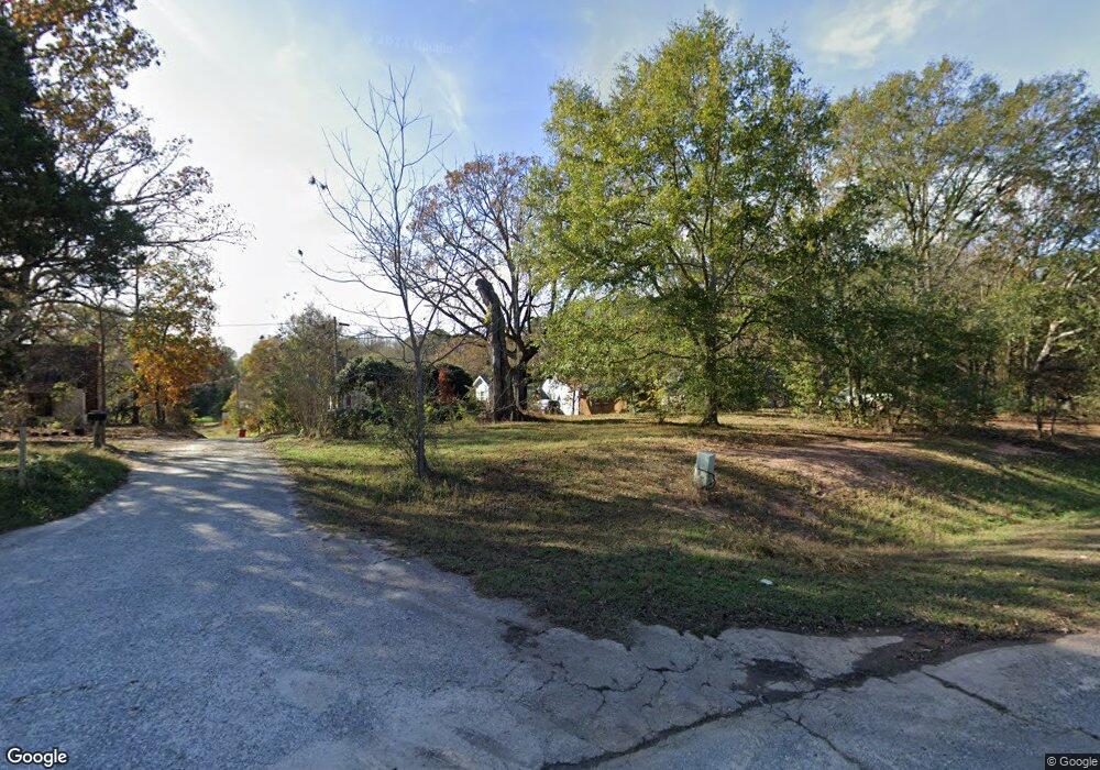
8994 Highway 441 Nicholson, GA 30565
Estimated Value: $254,000 - $340,000
4
Beds
2
Baths
2,051
Sq Ft
$144/Sq Ft
Est. Value
About This Home
This home is located at 8994 Highway 441, Nicholson, GA 30565 and is currently estimated at $295,723, approximately $144 per square foot. 8994 Highway 441 is a home located in Jackson County with nearby schools including South Jackson Elementary School, East Jackson Middle School, and East Jackson Comprehensive High School.
Ownership History
Date
Name
Owned For
Owner Type
Purchase Details
Closed on
Mar 21, 2017
Sold by
Rayfield
Bought by
Sapphire Properties Lp
Current Estimated Value
Purchase Details
Closed on
Sep 2, 2014
Sold by
Desean Christopher K
Bought by
Grant Rayfield
Purchase Details
Closed on
Apr 24, 2008
Sold by
Desean Christopher K
Bought by
Degrande Fred
Purchase Details
Closed on
Jun 7, 2007
Sold by
Not Provided
Bought by
Degrande Fred
Purchase Details
Closed on
Mar 19, 2004
Sold by
Desean Christopher K and Desean Carla J
Bought by
Mceahin George T
Create a Home Valuation Report for This Property
The Home Valuation Report is an in-depth analysis detailing your home's value as well as a comparison with similar homes in the area
Home Values in the Area
Average Home Value in this Area
Purchase History
| Date | Buyer | Sale Price | Title Company |
|---|---|---|---|
| Sapphire Properties Lp | $12,000 | -- | |
| Grant Rayfield | $3,100 | -- | |
| Degrande Fred | -- | -- | |
| Degrande Fred | -- | -- | |
| Degrande Fred | -- | -- | |
| Mceahin George T | -- | -- |
Source: Public Records
Tax History Compared to Growth
Tax History
| Year | Tax Paid | Tax Assessment Tax Assessment Total Assessment is a certain percentage of the fair market value that is determined by local assessors to be the total taxable value of land and additions on the property. | Land | Improvement |
|---|---|---|---|---|
| 2024 | $1,640 | $86,720 | $10,200 | $76,520 |
| 2023 | $1,658 | $78,160 | $10,200 | $67,960 |
| 2022 | $1,645 | $58,400 | $3,440 | $54,960 |
| 2021 | $1,628 | $58,400 | $3,440 | $54,960 |
| 2020 | $1,534 | $50,480 | $3,240 | $47,240 |
| 2019 | $1,558 | $50,480 | $3,240 | $47,240 |
| 2018 | $420 | $12,920 | $3,240 | $9,680 |
| 2017 | $398 | $12,145 | $2,757 | $9,388 |
| 2016 | $400 | $12,145 | $2,757 | $9,388 |
| 2015 | $402 | $12,146 | $2,757 | $9,388 |
| 2014 | $340 | $10,362 | $2,757 | $7,605 |
| 2013 | -- | $10,362 | $2,757 | $7,604 |
Source: Public Records
Map
Nearby Homes
- 97 Abby Ln
- 140 Levi Trail
- 130 Levi Trail
- 1718 Ed Bennett Rd
- 4419 New Kings Bridge Rd
- 0 US Hwy 441 S Unit 20890220
- 422 Blessings Ln
- 223 Sawdust Trail
- 10 Red Rose Rd
- 0 Watkins Trail Unit TRACT 22
- 0 Sanford Oak Ct Unit TRACT 11
- 0 Sanford Oak Ct Unit TRACT 12
- 0 Sanford Oak Ct Unit 7683743
- 322 Cedar Tree Ln
- 9898 Jefferson River Rd
- 9990 Jefferson River Rd
- 9992 Jefferson River Rd
- 7 Red Rose Rd
- 9 Red Rose Rd
- 719 Old Athens Dr
- 8994 Old Highway 441
- 8994 Old Highway 441
- 9010 Highway 441
- 8978 Highway 441
- 8964 Highway 441
- 9039 Old Highway 441
- 9028 Old Highway 441
- 100 Little Valley Church Rd
- 8910 Old Hwy 441
- 8910 Old Highway 441
- 110 Little Valley Church Rd
- 9055 Old Highway 441
- 9051 Old Highway 441
- 128 Little Valley Church Rd
- 8978 U S 441
- 8978 Us-441 S
- 1 Us-441 S
- 5199 New Kings Bridge Rd
- 9045 Old Highway 441
- 9045 Highway 441
