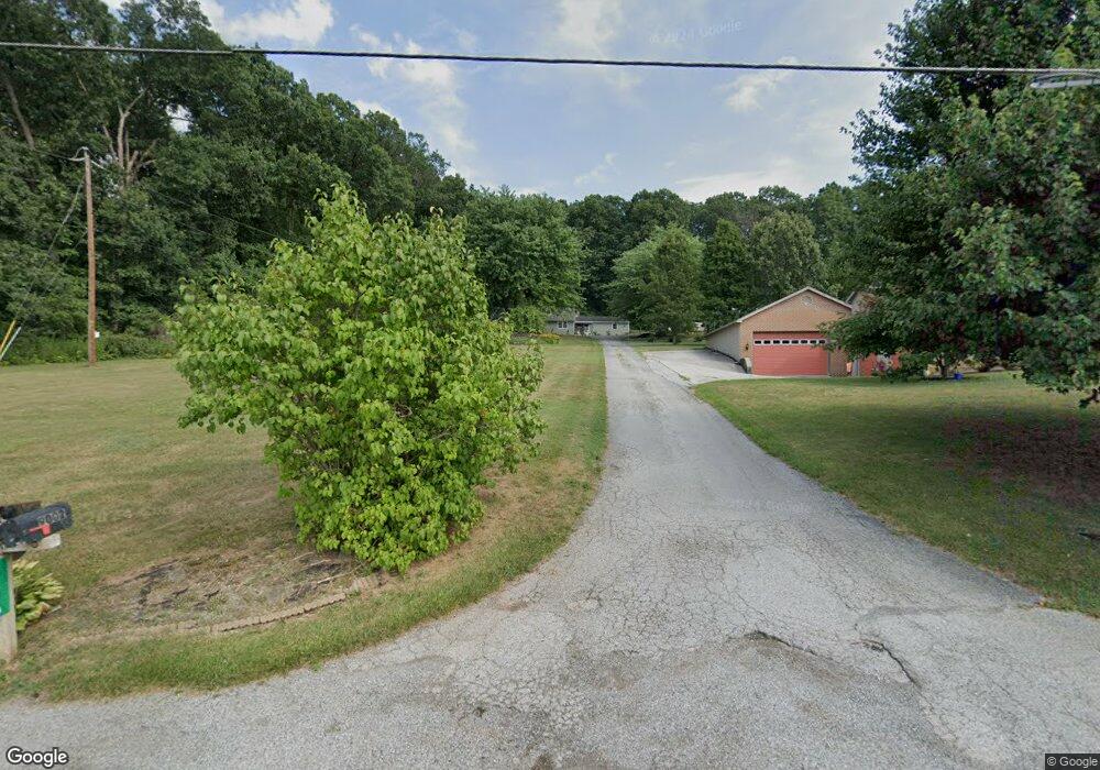
8996 Maple Grove Rd Abbottstown, PA 17301
Estimated Value: $291,908 - $367,000
4
Beds
2
Baths
2,235
Sq Ft
$143/Sq Ft
Est. Value
About This Home
This home is located at 8996 Maple Grove Rd, Abbottstown, PA 17301 and is currently estimated at $320,477, approximately $143 per square foot. 8996 Maple Grove Rd is a home located in York County with nearby schools including Spring Grove Area Middle School, Spring Grove Area High School, and Paradise School.
Ownership History
Date
Name
Owned For
Owner Type
Purchase Details
Closed on
Oct 27, 2017
Sold by
Hilton Randy T and Hilton Kathryn J
Bought by
Leary Amy E O and Brillhart Ryan C
Current Estimated Value
Home Financials for this Owner
Home Financials are based on the most recent Mortgage that was taken out on this home.
Original Mortgage
$166,920
Outstanding Balance
$138,059
Interest Rate
3.37%
Mortgage Type
FHA
Estimated Equity
$182,418
Purchase Details
Closed on
Jun 7, 2010
Sold by
Riley Coby J and Riley Rickey L
Bought by
Hilton Randy T and Hilton Kathryn J
Home Financials for this Owner
Home Financials are based on the most recent Mortgage that was taken out on this home.
Original Mortgage
$115,900
Interest Rate
5.03%
Mortgage Type
New Conventional
Create a Home Valuation Report for This Property
The Home Valuation Report is an in-depth analysis detailing your home's value as well as a comparison with similar homes in the area
Home Values in the Area
Average Home Value in this Area
Purchase History
| Date | Buyer | Sale Price | Title Company |
|---|---|---|---|
| Leary Amy E O | $170,000 | None Available | |
| Hilton Randy T | $122,000 | None Available |
Source: Public Records
Mortgage History
| Date | Status | Borrower | Loan Amount |
|---|---|---|---|
| Open | Leary Amy E O | $166,920 | |
| Previous Owner | Hilton Randy T | $115,900 |
Source: Public Records
Tax History Compared to Growth
Tax History
| Year | Tax Paid | Tax Assessment Tax Assessment Total Assessment is a certain percentage of the fair market value that is determined by local assessors to be the total taxable value of land and additions on the property. | Land | Improvement |
|---|---|---|---|---|
| 2025 | $4,563 | $136,820 | $35,360 | $101,460 |
| 2024 | $4,514 | $136,820 | $35,360 | $101,460 |
| 2023 | $4,514 | $136,820 | $35,360 | $101,460 |
| 2022 | $4,514 | $136,820 | $35,360 | $101,460 |
| 2021 | $4,319 | $136,820 | $35,360 | $101,460 |
| 2020 | $4,305 | $136,820 | $35,360 | $101,460 |
| 2019 | $4,213 | $136,820 | $35,360 | $101,460 |
| 2018 | $4,156 | $136,820 | $35,360 | $101,460 |
| 2017 | $4,060 | $136,820 | $35,360 | $101,460 |
| 2016 | $0 | $136,820 | $35,360 | $101,460 |
| 2015 | -- | $136,820 | $35,360 | $101,460 |
| 2014 | -- | $136,820 | $35,360 | $101,460 |
Source: Public Records
Map
Nearby Homes
- 28 Town Cir Unit 12A
- 7452 Lincoln Hwy
- 507 Bullet Way
- 7461 Saint Patrick Ct
- 7463 Saint Patrick Ct
- 7459 Saint Patrick Ct
- 7457 Saint Patrick Ct
- 7455 Saint Patrick Ct Unit 28
- 7435 Saint Patrick Ct Unit 6
- 224 W King St
- 7962 Woodland Dr
- 7877 Gnatstown Rd
- 0 Moulstown Rd N Unit PAYK2082362
- 486 W King St
- 221 Kinneman Rd Unit 28
- 201 Kinneman Rd Unit 25
- 1233 Glatco Lodge Rd
- 6 Lobell Rd
- 484 Brough Rd
- 0 Woods Rd
- 9002 Maple Grove Rd
- 9006 Maple Grove Rd
- 8984 Maple Grove Rd
- 229 Summit Dr
- 8968 Maple Grove Rd
- 8962 Maple Grove Rd
- 230 Summit Dr Unit 2
- 645 Maple Grove Rd Unit 3
- 213 Pine Rd
- 267 Summit Dr
- 8950 Maple Grove Rd
- 255 Summit Dr
- 251 Summit Dr
- 8944 Maple Grove Rd
- 207 Pine Rd
- 8940 Maple Grove Rd
- 8942 Maple Grove Rd
- 232 Summit Dr Unit 1
- 599 Maple Grove Rd
- 8930 Maple Grove Rd