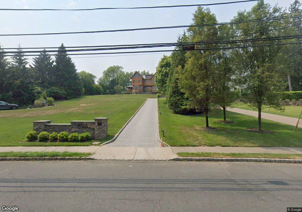
89A Brooklake Rd Florham Park, NJ 07932
Estimated Value: $2,092,246 - $3,174,000
Studio
--
Bath
7,301
Sq Ft
$343/Sq Ft
Est. Value
About This Home
This home is located at 89A Brooklake Rd, Florham Park, NJ 07932 and is currently estimated at $2,502,062, approximately $342 per square foot. 89A Brooklake Rd is a home located in Morris County with nearby schools including Briarwood Elementary School, Brooklake Elementary School, and Ridgedale Middle School.
Ownership History
Date
Name
Owned For
Owner Type
Purchase Details
Closed on
Nov 15, 2017
Sold by
Hofgaertner Wolfgang and Coster Christine
Bought by
89A Brooklake Llc
Current Estimated Value
Purchase Details
Closed on
May 19, 2011
Sold by
Hofgaertner Wolfgang
Bought by
Hofgaertner Wolfgang and Coster Christine
Home Financials for this Owner
Home Financials are based on the most recent Mortgage that was taken out on this home.
Original Mortgage
$1,520,000
Interest Rate
4.62%
Mortgage Type
Construction
Purchase Details
Closed on
Mar 25, 2008
Sold by
Deluca Rory and Deluca Gina
Bought by
Hofgaertner Wolfgang
Home Financials for this Owner
Home Financials are based on the most recent Mortgage that was taken out on this home.
Original Mortgage
$417,000
Interest Rate
5.76%
Mortgage Type
Purchase Money Mortgage
Create a Home Valuation Report for This Property
The Home Valuation Report is an in-depth analysis detailing your home's value as well as a comparison with similar homes in the area
Home Values in the Area
Average Home Value in this Area
Purchase History
| Date | Buyer | Sale Price | Title Company |
|---|---|---|---|
| 89A Brooklake Llc | -- | None Available | |
| Hofgaertner Wolfgang | -- | None Available | |
| Hofgaertner Wolfgang | $625,000 | New Jersey Title Ins Co |
Source: Public Records
Mortgage History
| Date | Status | Borrower | Loan Amount |
|---|---|---|---|
| Previous Owner | Hofgaertner Wolfgang | $1,520,000 | |
| Previous Owner | Hofgaertner Wolfgang | $417,000 |
Source: Public Records
Tax History
| Year | Tax Paid | Tax Assessment Tax Assessment Total Assessment is a certain percentage of the fair market value that is determined by local assessors to be the total taxable value of land and additions on the property. | Land | Improvement |
|---|---|---|---|---|
| 2025 | $27,597 | $1,699,300 | $461,500 | $1,237,800 |
| 2024 | $24,362 | $1,699,300 | $461,500 | $1,237,800 |
Source: Public Records
Map
Nearby Homes
- 36 Brandywyne Dr
- 4 Delbarton Dr
- 70 Valley Rd
- 44 Brooklake Rd
- 181 Center Ave
- 163 Briarwood Rd
- 120 Center Ave
- 9 Westerly Ave
- 93 Edgewood Dr
- 47 Afton Dr
- 24 Fairview Ave
- 1 Baldwin Rd
- 60 Greenwood Ave
- 85 Kings Rd
- 142 Ridgedale Ave
- 15 N Hillside Ave
- 3 Parker Ct
- 82 Ridgedale Ave
- 25 Beverly Rd
- 91 Woodland Rd
Your Personal Tour Guide
Ask me questions while you tour the home.