8S818 Toronto St Big Rock, IL 60511
Estimated Value: $377,000 - $426,000
3
Beds
3
Baths
1,680
Sq Ft
$238/Sq Ft
Est. Value
About This Home
This home is located at 8S818 Toronto St, Big Rock, IL 60511 and is currently estimated at $399,476, approximately $237 per square foot. 8S818 Toronto St is a home located in Kane County with nearby schools including Hinckley-Big Rock Elementary School and Hinckley-Big Rock High School.
Ownership History
Date
Name
Owned For
Owner Type
Purchase Details
Closed on
Nov 6, 2024
Sold by
Olah Timothy M and Olah Mary Jeannette
Bought by
Timothy And Mary Olah Trust and Olah
Current Estimated Value
Purchase Details
Closed on
Jun 13, 2005
Sold by
Broom Patricia M
Bought by
Olah Timothy M and Olah Mary Jeannette
Home Financials for this Owner
Home Financials are based on the most recent Mortgage that was taken out on this home.
Original Mortgage
$145,000
Interest Rate
5.87%
Mortgage Type
Fannie Mae Freddie Mac
Purchase Details
Closed on
Oct 2, 2000
Sold by
Leaf Paul O and Leaf Rita R
Bought by
Mcbroom Patricia M
Home Financials for this Owner
Home Financials are based on the most recent Mortgage that was taken out on this home.
Original Mortgage
$90,000
Interest Rate
8.03%
Create a Home Valuation Report for This Property
The Home Valuation Report is an in-depth analysis detailing your home's value as well as a comparison with similar homes in the area
Home Values in the Area
Average Home Value in this Area
Purchase History
| Date | Buyer | Sale Price | Title Company |
|---|---|---|---|
| Timothy And Mary Olah Trust | -- | Chicago Title | |
| Olah Timothy M | $290,000 | First American Title | |
| Mcbroom Patricia M | $194,000 | Law Title Insurance Company |
Source: Public Records
Mortgage History
| Date | Status | Borrower | Loan Amount |
|---|---|---|---|
| Previous Owner | Olah Timothy M | $145,000 | |
| Previous Owner | Mcbroom Patricia M | $90,000 |
Source: Public Records
Tax History Compared to Growth
Tax History
| Year | Tax Paid | Tax Assessment Tax Assessment Total Assessment is a certain percentage of the fair market value that is determined by local assessors to be the total taxable value of land and additions on the property. | Land | Improvement |
|---|---|---|---|---|
| 2024 | $6,430 | $110,071 | $26,835 | $83,236 |
| 2023 | $6,705 | $101,579 | $24,765 | $76,814 |
| 2022 | $6,522 | $95,299 | $23,234 | $72,065 |
| 2021 | $6,522 | $89,550 | $21,832 | $67,718 |
| 2020 | $6,521 | $86,489 | $21,086 | $65,403 |
| 2019 | $6,250 | $82,206 | $20,042 | $62,164 |
| 2018 | $6,340 | $79,126 | $19,321 | $59,805 |
| 2017 | $6,120 | $74,831 | $18,272 | $56,559 |
| 2016 | $5,976 | $70,301 | $18,272 | $52,029 |
| 2015 | -- | $66,363 | $17,975 | $48,388 |
| 2014 | -- | $64,774 | $17,975 | $46,799 |
| 2013 | -- | $67,230 | $18,481 | $48,749 |
Source: Public Records
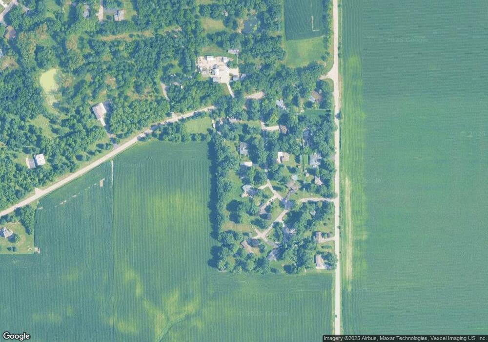
Map
Nearby Homes
- 45W127 Jericho Rd
- 1650 Highway 30
- 240 Snow St
- 92 Maple St
- 126 S Sugar Grove Pkwy
- 191 Meadows Dr
- 389 Mallard Ln
- 369 Mallard Ln
- 110 S Sugar Grove Pkwy
- 171 Willoughby Ct Unit E
- 4568 Garritano St Unit A
- 181 Willoughby Ct Unit B
- 4555 Camden Ln Unit C
- 73 Neil Rd
- 4566 Camden Ln Unit D
- 226 W Park Ave Unit A
- 4579 Half Moon Dr Unit A
- 4574 Half Moon Dr Unit C
- 124 Bertram Dr Unit M
- 193 W Park Ave Unit A
- 8S800 Toronto St
- 8S830 Toronto St
- 8S860 Toronto St
- 45W121 Raymond Rd
- 8S845 Toronto St
- 8S815 Toronto St
- 8S791 Toronto St
- 8S816 Dugan Rd
- 8S755 Toronto St
- 8S885 Oaken Dr
- 8S840 Dugan Rd
- 8S899 Oaken Dr
- 8S870 Dugan Rd
- 45W104 Raymond Rd
- 8S905 Oaken Dr
- 8S890 Dugan Rd
- 8S738 Dugan Rd
- 8S918 Dugan Rd
- 8S790 Dugan Rd
- 8S655 Bourtzos Rd