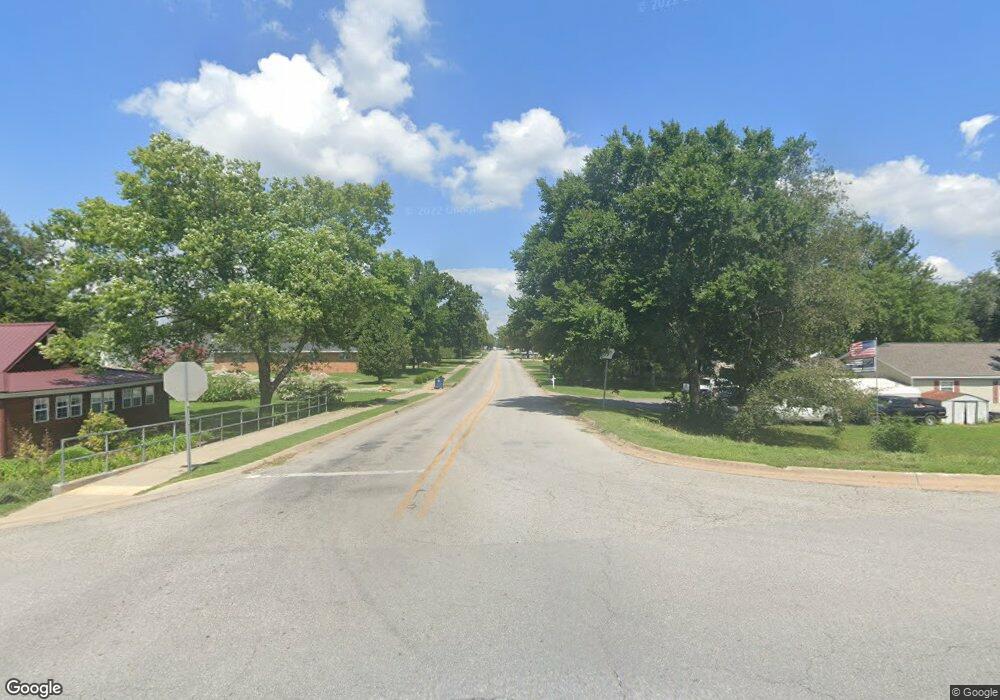
9.09 Acres E 3rd St Hwy 12 Gentry, AR 72734
Estimated Value: $325,000
--
Bed
--
Bath
--
Sq Ft
9.09
Acres
About This Home
This home is located at 9.09 Acres E 3rd St Hwy 12, Gentry, AR 72734 and is currently estimated at $325,000. 9.09 Acres E 3rd St Hwy 12 is a home located in Benton County with nearby schools including Gentry Intermediate School, Gentry Primary School, and Gentry Middle School.
Ownership History
Date
Name
Owned For
Owner Type
Purchase Details
Closed on
Mar 29, 2022
Sold by
Edward Hull Wayne and Edward Linette Susan
Bought by
Wayne Edward And Susan Linette Hull Joint Tru
Current Estimated Value
Purchase Details
Closed on
May 24, 2005
Sold by
Hull Robert R and Hull Kathryn
Bought by
Hull Robert R
Purchase Details
Closed on
Jan 9, 1990
Bought by
Hull
Purchase Details
Closed on
Dec 5, 1989
Bought by
Sylvia Cox Dec'D
Create a Home Valuation Report for This Property
The Home Valuation Report is an in-depth analysis detailing your home's value as well as a comparison with similar homes in the area
Home Values in the Area
Average Home Value in this Area
Purchase History
| Date | Buyer | Sale Price | Title Company |
|---|---|---|---|
| Wayne Edward And Susan Linette Hull Joint Tru | -- | Rmp Llp | |
| Hull Robert R | -- | None Available | |
| Hull | $67,000 | -- | |
| Sylvia Cox Dec'D | -- | -- |
Source: Public Records
Tax History Compared to Growth
Tax History
| Year | Tax Paid | Tax Assessment Tax Assessment Total Assessment is a certain percentage of the fair market value that is determined by local assessors to be the total taxable value of land and additions on the property. | Land | Improvement |
|---|---|---|---|---|
| 2025 | $998 | $31,815 | $31,815 | -- |
| 2024 | $905 | $31,815 | $31,815 | $0 |
| 2023 | $822 | $22,720 | $22,720 | $0 |
| 2022 | $800 | $22,720 | $22,720 | $0 |
| 2021 | $732 | $22,720 | $22,720 | $0 |
| 2020 | $669 | $11,450 | $11,450 | $0 |
| 2019 | $669 | $11,450 | $11,450 | $0 |
| 2018 | $669 | $11,450 | $11,450 | $0 |
| 2017 | $669 | $11,450 | $11,450 | $0 |
| 2016 | $669 | $11,450 | $11,450 | $0 |
| 2015 | $603 | $10,910 | $10,910 | $0 |
| 2014 | $603 | $10,910 | $10,910 | $0 |
Source: Public Records
Map
Nearby Homes
- 1329 Bates St
- 1309 Chavis St
- 1316 Bates St
- 1321 Bates St
- 18955 Shankle Rd
- 19161 Old Springtown Rd
- 2205 Augusta Cir
- 1508 Taylor Orchard Rd
- 19339 Shankle Rd
- 18748 W Highway 12
- 0 Peterson Rd Unit 1322195
- 2121 Carlisle St
- 812 Vista St
- 812 Saddlebrook St
- 2630 NW Peterson Rd
- 2620 NW Peterson Rd
- 2610 NW Peterson Rd
- 2600 NW Peterson Rd
- 2540 NW Peterson Rd
- 2530 NW Peterson Rd
- 312 NW 5th St
- 536 Ac W 264 Hwy
- 40.168 Ac W 264 Hwy
- 19.5 Acres 264 Hwy
- 360 Acres 43 Hwy
- 12087 Key West Salvage Rd
- 38 Acres W 264 Hwy
- 68 Acres W 264 Hwy
- 67 Acres W 264 Hwy
- 69 Acres W 264 Hwy
- 11345 Brush Arbor Rd
- 136 Acres W 264 Hwy
- Lot #2 J R Bever Blvd
- Lot #3 J R Bever Blvd
- Lot #4 J R Bever Blvd
- 136 Acres W 264 Hwy
- Lot C Milldam Rd
- Lot A Philpot Rd
- 3.72 Acres Hwy 12 (3rd St)
- W Hwy 12