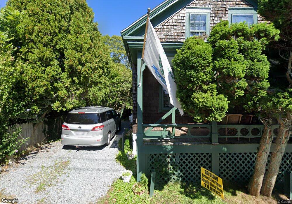
9 1/2 Malbone Rd Newport, RI 02840
Estimated Value: $802,000 - $896,000
3
Beds
3
Baths
2,158
Sq Ft
$402/Sq Ft
Est. Value
About This Home
This home is located at 9 1/2 Malbone Rd, Newport, RI 02840 and is currently estimated at $867,434, approximately $401 per square foot. 9 1/2 Malbone Rd is a home located in Newport County with nearby schools including Rogers High School, St Michael's Country Day School, and All Saints STEAM Academy.
Ownership History
Date
Name
Owned For
Owner Type
Purchase Details
Closed on
Sep 20, 2010
Sold by
Hoyt-Psaki Katherine
Bought by
Whitaker Karen
Current Estimated Value
Home Financials for this Owner
Home Financials are based on the most recent Mortgage that was taken out on this home.
Original Mortgage
$334,495
Outstanding Balance
$221,661
Interest Rate
4.51%
Mortgage Type
Purchase Money Mortgage
Estimated Equity
$645,773
Create a Home Valuation Report for This Property
The Home Valuation Report is an in-depth analysis detailing your home's value as well as a comparison with similar homes in the area
Home Values in the Area
Average Home Value in this Area
Purchase History
| Date | Buyer | Sale Price | Title Company |
|---|---|---|---|
| Whitaker Karen | $339,000 | -- |
Source: Public Records
Mortgage History
| Date | Status | Borrower | Loan Amount |
|---|---|---|---|
| Open | Whitaker Karen | $334,495 |
Source: Public Records
Tax History Compared to Growth
Tax History
| Year | Tax Paid | Tax Assessment Tax Assessment Total Assessment is a certain percentage of the fair market value that is determined by local assessors to be the total taxable value of land and additions on the property. | Land | Improvement |
|---|---|---|---|---|
| 2025 | $5,413 | $753,900 | $232,400 | $521,500 |
| 2024 | $5,255 | $753,900 | $232,400 | $521,500 |
| 2023 | $5,220 | $526,200 | $150,700 | $375,500 |
| 2022 | $5,057 | $526,200 | $150,700 | $375,500 |
| 2021 | $4,909 | $526,200 | $150,700 | $375,500 |
| 2020 | $3,656 | $355,600 | $108,700 | $246,900 |
| 2019 | $3,656 | $355,600 | $108,700 | $246,900 |
| 2018 | $3,552 | $355,600 | $108,700 | $246,900 |
| 2017 | $3,363 | $300,000 | $83,600 | $216,400 |
| 2016 | $3,279 | $300,000 | $83,600 | $216,400 |
| 2015 | $3,201 | $300,000 | $83,600 | $216,400 |
| 2014 | $3,313 | $274,700 | $74,800 | $199,900 |
Source: Public Records
Map
Nearby Homes
- 1 Arnold Ave
- 155 Evarts St
- 4 Newport Ave Unit B2
- 125 Van Zandt Ave Unit 307
- 19 Princeton St Unit 21
- 7 Sheffield Ave
- 17 Lincoln St
- 5 Elliot Place
- 53 Warner St
- 3 Vicksburg Place
- 5 Bowser Ct
- 44 Warner St
- 26 Prescott Hall Rd
- 198 Gibbs Ave
- 103 Champlin Place N
- 78 Rhode Island Ave Unit 6
- 78 Rhode Island Ave Unit 8
- 1 Shangri-La Ln
- 8 Champlin St
- 102 Broadway Unit 2B
- 9 Malbone Rd
- 4 Summer St
- 346 Broadway
- 346 Broadway Unit 3
- 346 Broadway Unit 2
- 2 Summer St
- 2 Summer St Unit B
- 2 Summer St Unit A
- 2 Summer St Unit C
- 7 Malbone Rd
- 342 Broadway
- 10 Summer St
- 11 Malbone Rd Unit 1A
- 11 Malbone Rd Unit 1B
- 11 Malbone Rd Unit 2
- 11 Malbone Rd
- 350 Broadway
- 350 Broadway Unit 2
- 350 Broadway Unit 1
- 348 Broadway