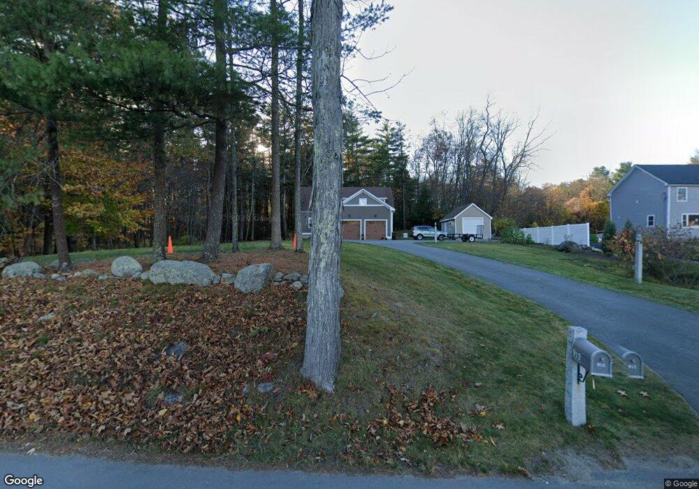
9 1/2 W Whitehall Rd Amesbury, MA 01913
Estimated Value: $862,000 - $950,452
3
Beds
3
Baths
2,231
Sq Ft
$404/Sq Ft
Est. Value
About This Home
This home is located at 9 1/2 W Whitehall Rd, Amesbury, MA 01913 and is currently estimated at $900,817, approximately $403 per square foot. 9 1/2 W Whitehall Rd is a home with nearby schools including Amesbury High School and Amesbury Seventh-Day Adventist School.
Ownership History
Date
Name
Owned For
Owner Type
Purchase Details
Closed on
Nov 13, 2012
Sold by
Pheasant Run Rt
Bought by
Dinocco Stepehen J and Dinocco Linda M
Current Estimated Value
Purchase Details
Closed on
Jul 2, 2010
Sold by
Sherry J Timothy
Bought by
Pheasant Run Rt
Create a Home Valuation Report for This Property
The Home Valuation Report is an in-depth analysis detailing your home's value as well as a comparison with similar homes in the area
Home Values in the Area
Average Home Value in this Area
Purchase History
| Date | Buyer | Sale Price | Title Company |
|---|---|---|---|
| Dinocco Stepehen J | -- | -- | |
| Pheasant Run Rt | $125,000 | -- |
Source: Public Records
Mortgage History
| Date | Status | Borrower | Loan Amount |
|---|---|---|---|
| Previous Owner | Pheasant Run Rt | $275,000 |
Source: Public Records
Tax History Compared to Growth
Tax History
| Year | Tax Paid | Tax Assessment Tax Assessment Total Assessment is a certain percentage of the fair market value that is determined by local assessors to be the total taxable value of land and additions on the property. | Land | Improvement |
|---|---|---|---|---|
| 2025 | $14,099 | $921,500 | $300,000 | $621,500 |
| 2024 | $14,148 | $904,600 | $283,100 | $621,500 |
| 2023 | $12,476 | $763,500 | $246,200 | $517,300 |
| 2022 | $11,488 | $649,400 | $214,600 | $434,800 |
| 2021 | $11,191 | $613,200 | $171,500 | $441,700 |
| 2020 | $10,360 | $603,000 | $165,100 | $437,900 |
| 2019 | $10,368 | $564,400 | $165,100 | $399,300 |
| 2018 | $10,486 | $552,200 | $157,100 | $395,100 |
| 2017 | $9,963 | $499,400 | $157,100 | $342,300 |
| 2016 | $9,818 | $484,100 | $157,100 | $327,000 |
| 2015 | $9,744 | $474,400 | $157,100 | $317,300 |
| 2014 | $10,219 | $487,300 | $157,100 | $330,200 |
Source: Public Records
Map
Nearby Homes
- 1 Tuxbury Ln
- 152 Kimball Rd
- 20 Mason Ct
- 10 Mason Ct Unit 10
- 22 Jewell St
- 4 Acadia Kimball Rd
- 1 Acadia Kimball Rd Unit 1
- 4 Woodsom Dr
- 2 Alnette Rd
- 3 Greystone Rd
- 16 Glen Devin St
- 188 Lions Mouth Rd
- 21 Currier St
- 5 Moncrief St Unit 5
- 8 Old County Rd
- 31 Whitter Meadows Dr Unit 31
- 2 Locke Hill Ln
- 129 Friend St
- 25 Whittier Meadows Dr
- 48 Orchard St
- 9 W Whitehall Rd
- 10 W Whitehall Rd
- 13 W Whitehall Rd
- 1 Country Ln
- 12 W Whitehall Rd
- 3 Country Ln
- 2 Country Ln
- 7 W Whitehall Rd
- 15 W Whitehall Rd Unit 43
- 4 W Whitehall Rd
- 8 W Whitehall Rd
- 5 W Whitehall Rd
- 4 Country Ln
- 81 Whitehall Rd
- 4 Country Ln
- 2 W Whitehall Rd
- 2 W Whitehall Rd Unit 2
- 5 Country Ln
- 3 W Whitehall Rd
- Lot 3 W Whitehall Rd