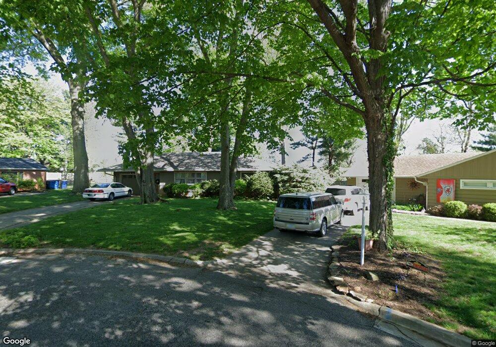
9 31st Street Ct Terre Haute, IN 47803
Ohio Boulevard NeighborhoodEstimated Value: $186,896 - $220,000
2
Beds
2
Baths
1,594
Sq Ft
$124/Sq Ft
Est. Value
About This Home
This home is located at 9 31st Street Ct, Terre Haute, IN 47803 and is currently estimated at $197,224, approximately $123 per square foot. 9 31st Street Ct is a home located in Vigo County with nearby schools including The Learning Lab, Woodrow Wilson Middle School, and Terre Haute North Vigo High School.
Ownership History
Date
Name
Owned For
Owner Type
Purchase Details
Closed on
Dec 9, 2005
Sold by
Brown Michael J
Bought by
Geniti Donna
Current Estimated Value
Home Financials for this Owner
Home Financials are based on the most recent Mortgage that was taken out on this home.
Original Mortgage
$72,000
Outstanding Balance
$40,452
Interest Rate
6.36%
Mortgage Type
New Conventional
Estimated Equity
$156,772
Create a Home Valuation Report for This Property
The Home Valuation Report is an in-depth analysis detailing your home's value as well as a comparison with similar homes in the area
Home Values in the Area
Average Home Value in this Area
Purchase History
| Date | Buyer | Sale Price | Title Company |
|---|---|---|---|
| Geniti Donna | -- | None Available |
Source: Public Records
Mortgage History
| Date | Status | Borrower | Loan Amount |
|---|---|---|---|
| Open | Geniti Donna | $72,000 |
Source: Public Records
Tax History Compared to Growth
Tax History
| Year | Tax Paid | Tax Assessment Tax Assessment Total Assessment is a certain percentage of the fair market value that is determined by local assessors to be the total taxable value of land and additions on the property. | Land | Improvement |
|---|---|---|---|---|
| 2024 | $1,349 | $126,900 | $32,900 | $94,000 |
| 2023 | $1,294 | $122,200 | $32,900 | $89,300 |
| 2022 | $1,210 | $114,200 | $32,900 | $81,300 |
| 2021 | $1,132 | $107,100 | $33,000 | $74,100 |
| 2020 | $1,108 | $105,000 | $32,300 | $72,700 |
| 2019 | $1,019 | $97,000 | $31,600 | $65,400 |
| 2018 | $1,397 | $93,100 | $30,100 | $63,000 |
| 2017 | $869 | $86,900 | $25,300 | $61,600 |
| 2016 | $869 | $86,900 | $25,300 | $61,600 |
| 2014 | $866 | $86,600 | $25,400 | $61,200 |
| 2013 | $866 | $84,800 | $24,800 | $60,000 |
Source: Public Records
Map
Nearby Homes
- 19 Marigold Place
- 3631 Poplar St
- 3309 Wabash Ave
- 2707 Oak St
- 3788 Anderson Dr N
- 52 Home Ave
- 3824 Anderson Dr S
- 3828 Anderson Dr S
- 3846 Anderson Dr S
- 3869 N Anderson Dr
- 85 Heritage Dr
- 3850 Anderson Dr S
- 2518 Wilson St
- 3868 S Anderson Dr
- 3886 S Anderson Dr
- 35 S 23rd St
- 3890 S Anderson Dr
- 2514 Crawford St
- 805 S Brown Ave
- 318 S 22nd St
- 11 31st Street Ct
- 8 31st Street Ct
- 11 S 31st Street Ct
- 10 31st Street Ct
- 4 30th Street Ct
- 8 S 31st Street Ct
- 10 S 31st Street Ct
- 3030 Ohio Blvd
- 3100 Ohio Blvd
- 15 32nd Street Ct
- 3000 Ohio Blvd
- 5 30th Street Ct
- 3140 Ohio Blvd
- 12 32nd Street Ct
- 7 30th Street Ct
- 7 30th Street Ct
- 7 30th Street Ct
- 2920 Ohio Blvd
- 2 29th Street Ct
- 14 32nd Street Ct