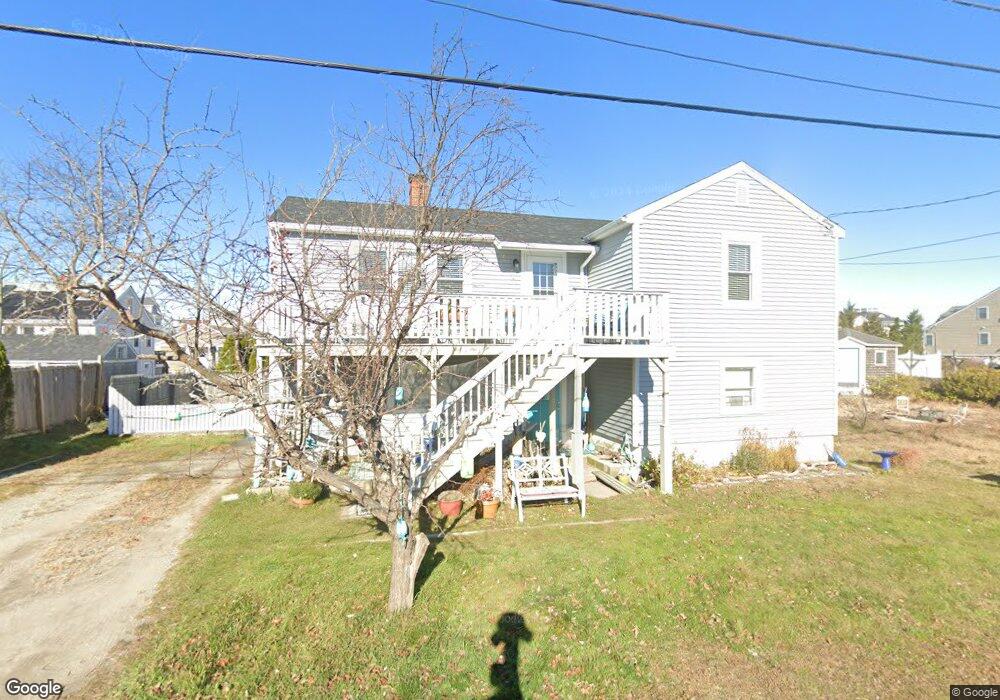
9 53rd St Newburyport, MA 01950
Estimated Value: $726,307 - $907,000
2
Beds
1
Bath
833
Sq Ft
$948/Sq Ft
Est. Value
About This Home
This home is located at 9 53rd St, Newburyport, MA 01950 and is currently estimated at $790,077, approximately $948 per square foot. 9 53rd St is a home located in Essex County with nearby schools including Francis T. Bresnahan Elementary School, Edward G. Molin Elementary School, and Rupert A. Nock Middle School.
Create a Home Valuation Report for This Property
The Home Valuation Report is an in-depth analysis detailing your home's value as well as a comparison with similar homes in the area
Home Values in the Area
Average Home Value in this Area
Tax History Compared to Growth
Tax History
| Year | Tax Paid | Tax Assessment Tax Assessment Total Assessment is a certain percentage of the fair market value that is determined by local assessors to be the total taxable value of land and additions on the property. | Land | Improvement |
|---|---|---|---|---|
| 2025 | $6,331 | $660,900 | $489,100 | $171,800 |
| 2024 | $6,146 | $616,400 | $444,600 | $171,800 |
| 2023 | $5,433 | $505,900 | $352,900 | $153,000 |
| 2022 | $5,057 | $421,100 | $294,000 | $127,100 |
| 2021 | $4,922 | $389,400 | $290,600 | $98,800 |
| 2020 | $5,000 | $389,400 | $290,600 | $98,800 |
| 2019 | $4,931 | $377,000 | $279,000 | $98,000 |
| 2018 | $4,812 | $362,900 | $265,700 | $97,200 |
| 2017 | $4,650 | $345,700 | $253,000 | $92,700 |
| 2016 | $4,603 | $343,800 | $251,100 | $92,700 |
| 2015 | $4,373 | $327,800 | $251,100 | $76,700 |
Source: Public Records
Map
Nearby Homes
- 12 53rd St
- 4 54th St
- 12 Barker St
- 11 Harbor St
- 5 Helena St
- 44 Old Point Rd
- 5 Northern Blvd
- 2 Plum Island Blvd
- 11 Sunset Dr
- 10 Meadowview Ln Unit B
- 2 Sunset Dr
- 28 & 30 Plum Island Turnpike
- 65 Plum Island Turnpike
- 141 Atlantic Ave
- 116 Railroad Ave
- 114 Railroad Ave
- 52 Brissette Ave
- 103 Railroad Ave
- 20 Cable Ave Unit 11
- 170 Beach Rd Unit 52