9 Abigail Ln Pembroke, MA 02359
Estimated Value: $645,000 - $827,000
2
Beds
3
Baths
2,161
Sq Ft
$323/Sq Ft
Est. Value
About This Home
This home is located at 9 Abigail Ln, Pembroke, MA 02359 and is currently estimated at $698,000, approximately $322 per square foot. 9 Abigail Ln is a home located in Plymouth County with nearby schools including Pembroke High School, Cadence Academy Preschool - Hanover, and Cardinal Cushing Centers.
Ownership History
Date
Name
Owned For
Owner Type
Purchase Details
Closed on
Feb 6, 2004
Sold by
Cook Daniel L and Cook Karin J H
Bought by
Hagler Karin J
Current Estimated Value
Purchase Details
Closed on
Mar 8, 2002
Sold by
Pulte Home Corp Ne
Bought by
Cook Daniel L and Cook Karin Jh
Home Financials for this Owner
Home Financials are based on the most recent Mortgage that was taken out on this home.
Original Mortgage
$275,000
Interest Rate
7.01%
Mortgage Type
Purchase Money Mortgage
Create a Home Valuation Report for This Property
The Home Valuation Report is an in-depth analysis detailing your home's value as well as a comparison with similar homes in the area
Home Values in the Area
Average Home Value in this Area
Purchase History
| Date | Buyer | Sale Price | Title Company |
|---|---|---|---|
| Hagler Karin J | -- | -- | |
| Cook Daniel L | $368,273 | -- |
Source: Public Records
Mortgage History
| Date | Status | Borrower | Loan Amount |
|---|---|---|---|
| Previous Owner | Cook Daniel L | $275,000 |
Source: Public Records
Tax History Compared to Growth
Tax History
| Year | Tax Paid | Tax Assessment Tax Assessment Total Assessment is a certain percentage of the fair market value that is determined by local assessors to be the total taxable value of land and additions on the property. | Land | Improvement |
|---|---|---|---|---|
| 2025 | $7,160 | $595,700 | $0 | $595,700 |
| 2024 | $6,570 | $546,100 | $0 | $546,100 |
| 2023 | $6,583 | $517,500 | $0 | $517,500 |
| 2022 | $6,550 | $462,900 | $0 | $462,900 |
| 2021 | $6,436 | $441,400 | $0 | $441,400 |
| 2020 | $6,028 | $416,000 | $0 | $416,000 |
| 2019 | $5,849 | $400,600 | $0 | $400,600 |
| 2018 | $5,609 | $376,700 | $0 | $376,700 |
| 2017 | $5,176 | $342,800 | $0 | $342,800 |
| 2016 | $4,728 | $309,800 | $0 | $309,800 |
| 2015 | $4,367 | $296,300 | $0 | $296,300 |
Source: Public Records
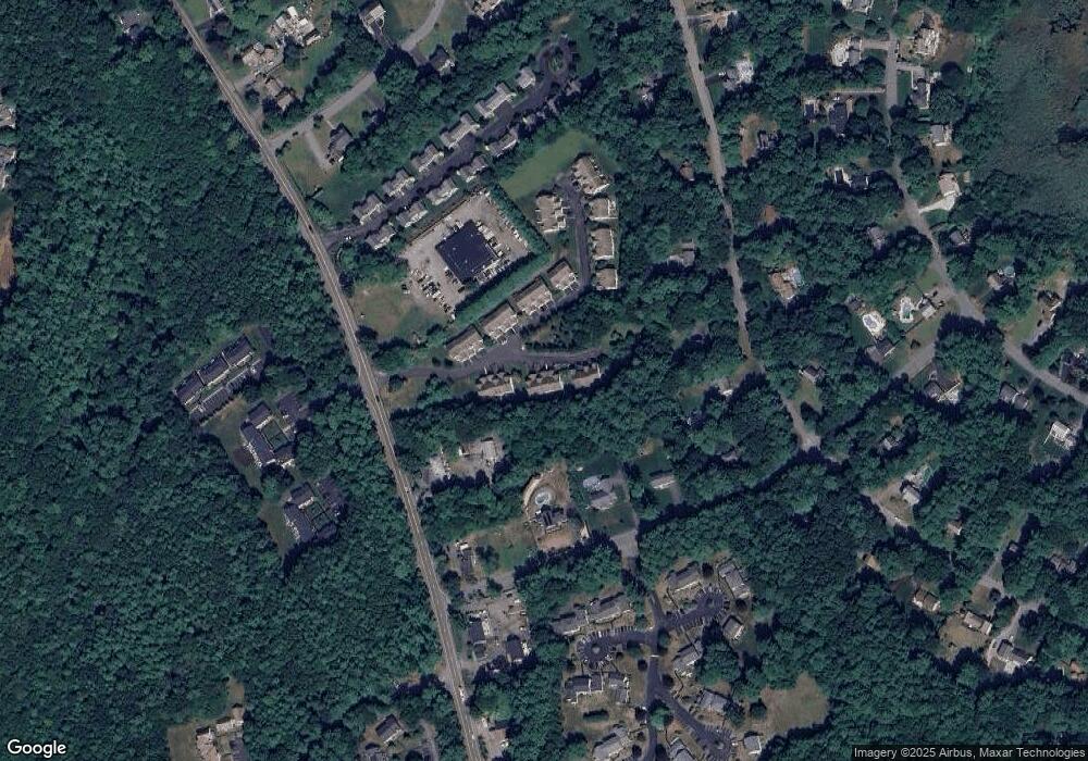
Map
Nearby Homes
- 40 Brisan Way
- 100 Fairwood Dr
- 330 Pleasant St
- 33 Barker Square Dr Unit 33
- 30 Old Washington St Unit 9
- 99 Old Washington St
- 261 Washington St
- 26 Pierce Dr
- 290 High St
- 77 Old Cart Path Ln Unit Lot 4
- 78 Old Cart Path Ln Unit Lot 3
- 172 Washington St
- 72 Old Cart Path Ln Unit Lot 2
- 218 Schoosett St
- 387 North St
- 204 Center St Unit 9
- 249 High St
- 29 Liberty Dr Unit 29
- 55 Shipyard Ln
- 53 Grove St
- 5 Abigail Ln
- 5 Abigail Ln Unit 5
- 7 Abigail Ln
- 7 Abigail Ln Unit n/a
- 7 Abigail Ln Unit 7
- 19 Bagnell Dr
- 19 Bagnell Dr Unit 31
- 15 Bagnell Dr
- 17 Bagnell Dr
- 15 Abigail Ln
- 17 Abigail Ln
- 19 Abigail Ln
- 26 Bagnell Dr
- 24 Bagnell Dr
- 22 Bagnell Dr
- 32 Bagnell Dr
- 18 Bagnell Dr
- 16 Bagnell Dr
- 57 Bagnell Dr
- 59 Bagnell Dr