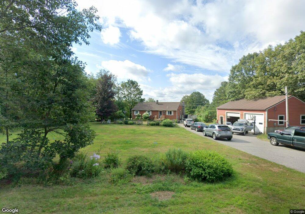
9 Allen Hill Rd Limington, ME 04049
Limington NeighborhoodEstimated Value: $106,000 - $435,000
--
Bed
--
Bath
--
Sq Ft
1
Acres
About This Home
This home is located at 9 Allen Hill Rd, Limington, ME 04049 and is currently estimated at $326,762. 9 Allen Hill Rd is a home located in York County with nearby schools including Bonny Eagle High School.
Ownership History
Date
Name
Owned For
Owner Type
Purchase Details
Closed on
Jun 25, 2025
Sold by
Chase Barbara
Bought by
Chase Barbara and Manson Haley J
Current Estimated Value
Purchase Details
Closed on
Apr 30, 2010
Sold by
Manson Richard F
Bought by
Manson Barbara
Home Financials for this Owner
Home Financials are based on the most recent Mortgage that was taken out on this home.
Original Mortgage
$166,000
Interest Rate
4.99%
Mortgage Type
Commercial
Purchase Details
Closed on
Sep 1, 2006
Sold by
Manson Richard F
Bought by
Manson Barbara and Manson Richard F
Create a Home Valuation Report for This Property
The Home Valuation Report is an in-depth analysis detailing your home's value as well as a comparison with similar homes in the area
Home Values in the Area
Average Home Value in this Area
Purchase History
| Date | Buyer | Sale Price | Title Company |
|---|---|---|---|
| Chase Barbara | -- | -- | |
| Chase Barbara | -- | -- | |
| Chase Barbara | -- | -- | |
| Manson Barbara | -- | -- | |
| Manson Barbara | -- | -- | |
| Manson Barbara | -- | -- | |
| Manson Barbara | -- | -- |
Source: Public Records
Mortgage History
| Date | Status | Borrower | Loan Amount |
|---|---|---|---|
| Previous Owner | Manson Barbara | $166,000 |
Source: Public Records
Tax History Compared to Growth
Tax History
| Year | Tax Paid | Tax Assessment Tax Assessment Total Assessment is a certain percentage of the fair market value that is determined by local assessors to be the total taxable value of land and additions on the property. | Land | Improvement |
|---|---|---|---|---|
| 2025 | $3,801 | $339,400 | $90,000 | $249,400 |
| 2024 | $3,811 | $339,400 | $90,000 | $249,400 |
| 2023 | $3,472 | $339,400 | $90,000 | $249,400 |
| 2022 | $2,724 | $184,700 | $60,000 | $124,700 |
| 2021 | $2,438 | $184,700 | $60,000 | $124,700 |
| 2020 | $2,272 | $184,700 | $60,000 | $124,700 |
| 2019 | $2,272 | $184,700 | $60,000 | $124,700 |
| 2017 | $2,179 | $184,700 | $60,000 | $124,700 |
| 2016 | $2,078 | $184,700 | $60,000 | $124,700 |
| 2015 | $2,013 | $184,700 | $60,000 | $124,700 |
| 2014 | $2,013 | $184,700 | $60,000 | $124,700 |
| 2013 | $1,939 | $184,700 | $60,000 | $124,700 |
Source: Public Records
Map
Nearby Homes
- Lot 7 Prokey Dr
- Lot 12 Prokey Dr
- 55 Sportsmans Way
- TBD Moody Rd
- 14 Mallard Dr
- 91 Pleasant Hill Rd
- 11 Putnam Ridge
- 110 Pleasant Hill Rd
- LOT# 8 Business Park Rd
- Lot# 11 Business Park Rd
- 48 King Hill Rd
- 4 Deer Crossing Rd
- 16 Whiteley Rd
- 21 Quarry Rd
- 71 Quarry Rd
- 13 Quaker Ln
- 72 Far Woods Cir
- R3 - 71 Cap Rd
- 155 Quarry Rd
- 00 Doles Ridge Rd
- 5 Allen Hill Rd
- 11 Allen Hill Rd
- 40 Sokokis Aka Route 11
- 42 Sokokis Ave
- 15 Allen Hill Rd
- 38 Sokokis Ave
- 33 Sokokis Ave
- 18 Allen Hill Rd
- 53 Sokokis Ave
- 48 Sokokis Ave
- 3 Staples Rd
- 1 Durgin Farm Rd
- 13 Staples Rd
- 2 Durgin Farm Rd
- 54 Sokokis Ave
- 59 Sokokis Ave
- 23 Sokokis Ave
- 19 Staples Rd
- 20 Spencer Ln
- 61 Sokokis Ave