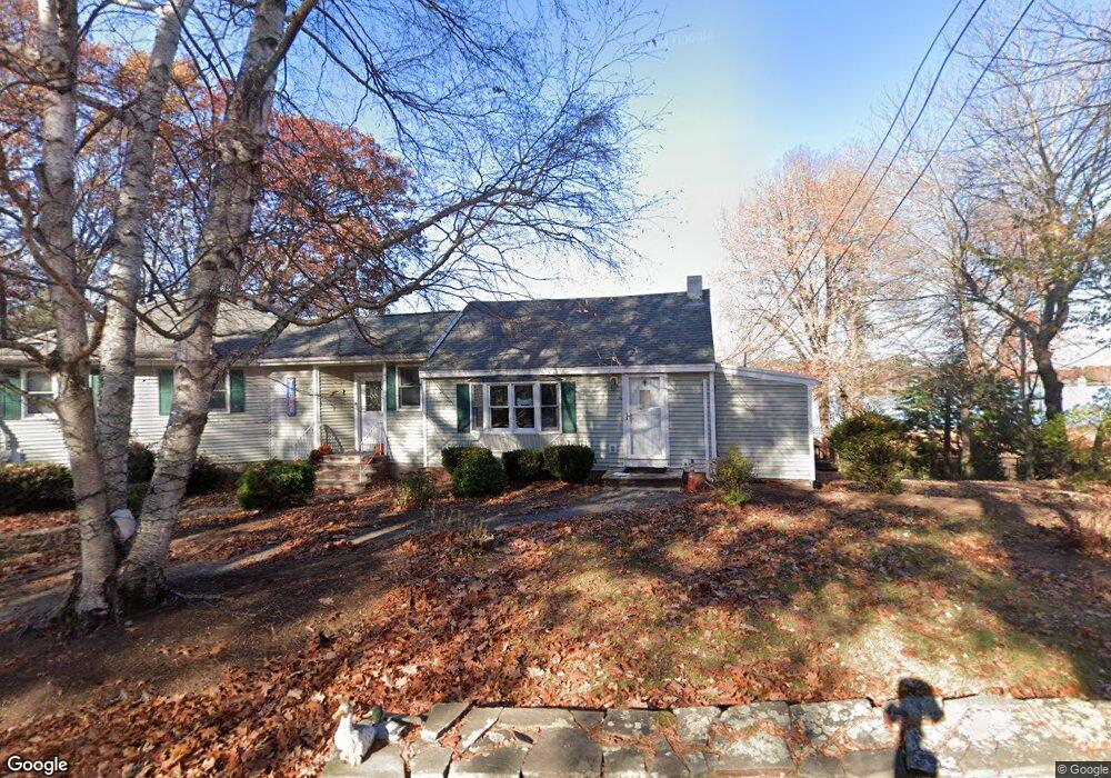
9 Alnette Rd Merrimac, MA 01860
Estimated Value: $631,000 - $850,000
3
Beds
1
Bath
3,041
Sq Ft
$248/Sq Ft
Est. Value
About This Home
This home is located at 9 Alnette Rd, Merrimac, MA 01860 and is currently estimated at $755,196, approximately $248 per square foot. 9 Alnette Rd is a home located in Essex County with nearby schools including Pentucket Regional High School.
Ownership History
Date
Name
Owned For
Owner Type
Purchase Details
Closed on
Dec 9, 2019
Sold by
George A Jackson Jr Ret and Jackson
Bought by
Jackson Terrance R
Current Estimated Value
Home Financials for this Owner
Home Financials are based on the most recent Mortgage that was taken out on this home.
Original Mortgage
$240,000
Outstanding Balance
$212,213
Interest Rate
3.75%
Mortgage Type
New Conventional
Estimated Equity
$542,983
Purchase Details
Closed on
Sep 5, 2014
Sold by
Jackson George A
Bought by
George A Jackson Jr Re and Jackson
Purchase Details
Closed on
Apr 25, 1991
Sold by
Medford Sb
Bought by
Jackson George
Purchase Details
Closed on
Jul 14, 1988
Sold by
Melanson William J
Bought by
9 Alnette Rd Rt
Create a Home Valuation Report for This Property
The Home Valuation Report is an in-depth analysis detailing your home's value as well as a comparison with similar homes in the area
Home Values in the Area
Average Home Value in this Area
Purchase History
| Date | Buyer | Sale Price | Title Company |
|---|---|---|---|
| Jackson Terrance R | $300,000 | None Available | |
| Jackson Terrance R | $300,000 | None Available | |
| George A Jackson Jr Re | -- | -- | |
| George A Jackson Jr Re | -- | -- | |
| Jackson George | $90,000 | -- | |
| Jackson George | $90,000 | -- | |
| 9 Alnette Rd Rt | $120,000 | -- |
Source: Public Records
Mortgage History
| Date | Status | Borrower | Loan Amount |
|---|---|---|---|
| Open | Jackson Terrance R | $240,000 | |
| Closed | Jackson Terrance R | $240,000 | |
| Previous Owner | 9 Alnette Rd Rt | $50,000 | |
| Previous Owner | 9 Alnette Rd Rt | $250,000 |
Source: Public Records
Tax History Compared to Growth
Tax History
| Year | Tax Paid | Tax Assessment Tax Assessment Total Assessment is a certain percentage of the fair market value that is determined by local assessors to be the total taxable value of land and additions on the property. | Land | Improvement |
|---|---|---|---|---|
| 2025 | $9,474 | $715,000 | $404,300 | $310,700 |
| 2024 | $9,262 | $686,100 | $387,400 | $298,700 |
| 2023 | $8,827 | $597,600 | $347,000 | $250,600 |
| 2022 | $8,534 | $522,300 | $279,600 | $242,700 |
| 2021 | $7,954 | $488,000 | $252,700 | $235,300 |
| 2020 | $6,910 | $464,400 | $229,100 | $235,300 |
| 2019 | $7,084 | $448,100 | $229,100 | $219,000 |
| 2018 | $6,744 | $427,900 | $208,900 | $219,000 |
| 2017 | $6,750 | $413,100 | $208,900 | $204,200 |
| 2016 | $6,268 | $387,900 | $188,700 | $199,200 |
| 2015 | $6,104 | $375,600 | $188,700 | $186,900 |
| 2014 | $5,968 | $375,600 | $188,700 | $186,900 |
Source: Public Records
Map
Nearby Homes