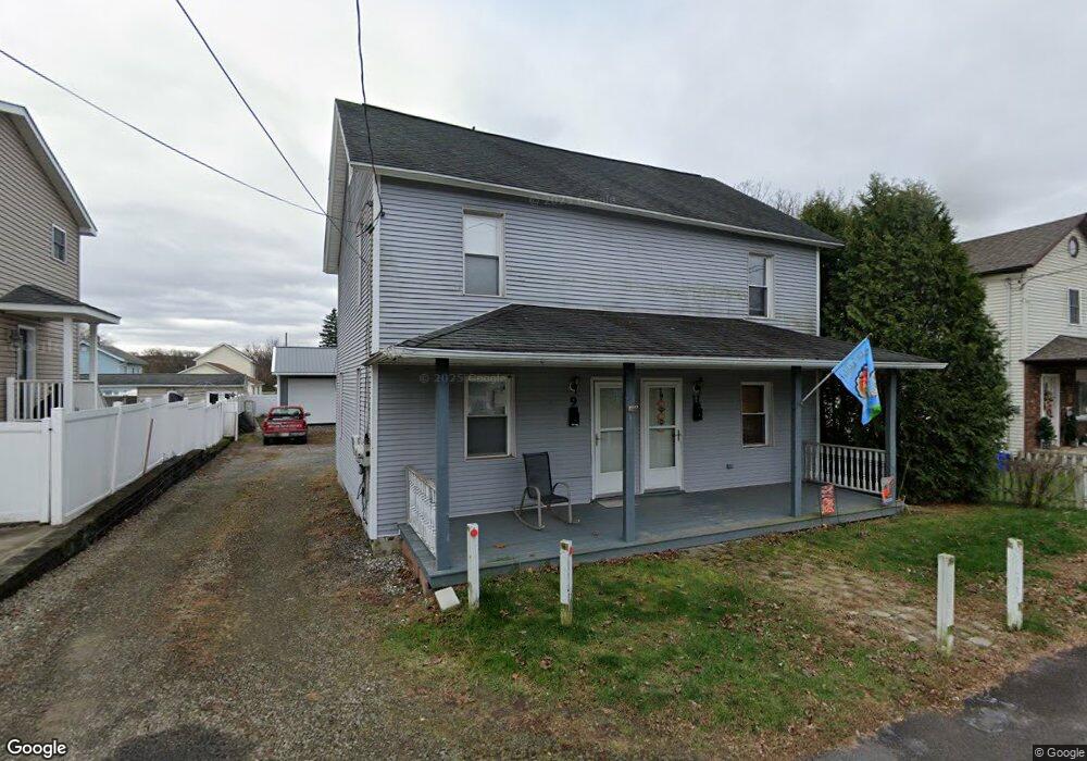
9 Alpha Ct Unit 11 Scranton, PA 18508
Providence NeighborhoodEstimated Value: $128,960 - $224,000
Studio
--
Bath
--
Sq Ft
6,970
Sq Ft
About This Home
This home is located at 9 Alpha Ct Unit 11, Scranton, PA 18508 and is currently estimated at $185,740. 9 Alpha Ct Unit 11 is a home located in Lackawanna County with nearby schools including Neil Armstrong Elementary School, Northeast Scranton Intermediate School, and Scranton High School.
Ownership History
Date
Name
Owned For
Owner Type
Purchase Details
Closed on
Sep 26, 2019
Sold by
Cannon Carl and Kellogg Cannon Cheryl
Bought by
Whitman Joseph W and Whitman Tracy
Current Estimated Value
Home Financials for this Owner
Home Financials are based on the most recent Mortgage that was taken out on this home.
Original Mortgage
$63,750
Outstanding Balance
$42,609
Interest Rate
3.6%
Mortgage Type
New Conventional
Estimated Equity
$143,131
Purchase Details
Closed on
Nov 16, 2005
Sold by
Cannon Carl and Cannon Julie
Bought by
Cannon Carl
Create a Home Valuation Report for This Property
The Home Valuation Report is an in-depth analysis detailing your home's value as well as a comparison with similar homes in the area
Home Values in the Area
Average Home Value in this Area
Purchase History
| Date | Buyer | Sale Price | Title Company |
|---|---|---|---|
| Whitman Joseph W | $85,000 | None Available | |
| Cannon Carl | -- | None Available |
Source: Public Records
Mortgage History
| Date | Status | Borrower | Loan Amount |
|---|---|---|---|
| Open | Whitman Joseph W | $63,750 |
Source: Public Records
Tax History
| Year | Tax Paid | Tax Assessment Tax Assessment Total Assessment is a certain percentage of the fair market value that is determined by local assessors to be the total taxable value of land and additions on the property. | Land | Improvement |
|---|---|---|---|---|
| 2025 | $2,896 | $8,650 | $1,950 | $6,700 |
| 2024 | $2,654 | $8,650 | $1,950 | $6,700 |
| 2023 | $2,654 | $8,650 | $1,950 | $6,700 |
| 2022 | $2,596 | $8,650 | $1,950 | $6,700 |
| 2021 | $2,596 | $8,650 | $1,950 | $6,700 |
| 2020 | $2,549 | $8,650 | $1,950 | $6,700 |
| 2019 | $2,400 | $8,650 | $1,950 | $6,700 |
| 2018 | $2,400 | $8,650 | $1,950 | $6,700 |
| 2017 | $2,359 | $8,650 | $1,950 | $6,700 |
| 2016 | $0 | $8,650 | $1,950 | $6,700 |
| 2015 | $1,531 | $8,650 | $1,950 | $6,700 |
| 2014 | -- | $8,650 | $1,950 | $6,700 |
Source: Public Records
Map
Nearby Homes
- 2706 N Main Ave
- 2717 N Main Ave
- 63-65 E Parker St
- 131 Throop St
- 2402 N Main Ave
- 193 W Parker St
- 194 Charles St
- 3301 N Main Ave
- 2089 N Main Ave
- 2105 Belmont Terrace
- 0 Greenbush St Unit GSBSC256200
- 2106 Boulevard Ave
- 2437-2441 Dimmick Ave
- 2009-2011 Margaret Ave
- 1015 Grandview St
- 1909 Boulevard Ave
- 214 William St
- 1021 Richmont St
- 902 Columbia St
- 141 School St
Your Personal Tour Guide
Ask me questions while you tour the home.