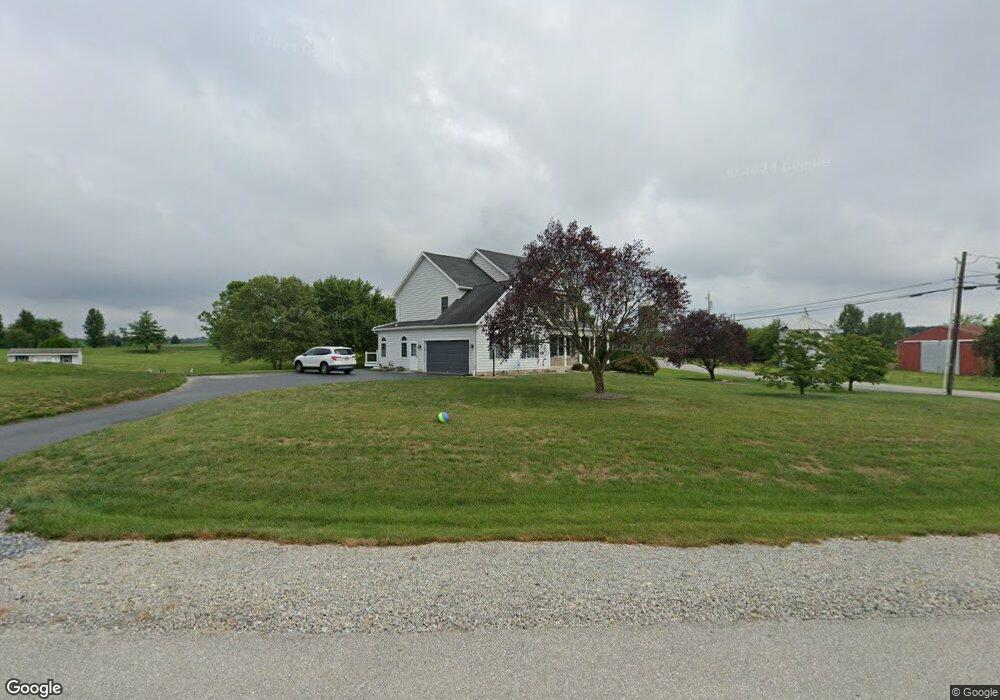
9 Amanda Dr Unit 7 Littlestown, PA 17340
Estimated Value: $432,813 - $538,000
3
Beds
3
Baths
2,214
Sq Ft
$220/Sq Ft
Est. Value
About This Home
This home is located at 9 Amanda Dr Unit 7, Littlestown, PA 17340 and is currently estimated at $487,203, approximately $220 per square foot. 9 Amanda Dr Unit 7 is a home located in Adams County with nearby schools including Rolling Acres El School, Maple Avenue Middle School, and Littlestown Senior High School.
Ownership History
Date
Name
Owned For
Owner Type
Purchase Details
Closed on
Aug 29, 2003
Bought by
Kolander John E and Kolander Amy S
Current Estimated Value
Create a Home Valuation Report for This Property
The Home Valuation Report is an in-depth analysis detailing your home's value as well as a comparison with similar homes in the area
Home Values in the Area
Average Home Value in this Area
Purchase History
| Date | Buyer | Sale Price | Title Company |
|---|---|---|---|
| Kolander John E | $59,900 | -- |
Source: Public Records
Tax History Compared to Growth
Tax History
| Year | Tax Paid | Tax Assessment Tax Assessment Total Assessment is a certain percentage of the fair market value that is determined by local assessors to be the total taxable value of land and additions on the property. | Land | Improvement |
|---|---|---|---|---|
| 2025 | $5,627 | $297,300 | $95,000 | $202,300 |
| 2024 | $5,409 | $297,300 | $95,000 | $202,300 |
| 2023 | $5,273 | $297,300 | $95,000 | $202,300 |
| 2022 | $5,234 | $297,300 | $95,000 | $202,300 |
| 2021 | $5,023 | $295,800 | $95,000 | $200,800 |
| 2020 | $4,950 | $295,800 | $95,000 | $200,800 |
| 2019 | $4,844 | $295,800 | $95,000 | $200,800 |
| 2018 | $4,700 | $295,800 | $95,000 | $200,800 |
| 2017 | $4,537 | $294,800 | $95,000 | $199,800 |
| 2016 | -- | $294,800 | $95,000 | $199,800 |
| 2015 | -- | $294,800 | $95,000 | $199,800 |
| 2014 | -- | $294,800 | $95,000 | $199,800 |
Source: Public Records
Map
Nearby Homes
- 37 Amanda Dr Unit 14
- 0 Hershey Rd Unit PALA2058618
- 0 Conestoga Blvd Unit PALA2080682
- 2238 Harney Rd Unit 3
- 975 Hoffman Home Rd Unit 6
- 1024 Frederick Pike Unit 6
- 161 Stoners Cir
- 4174 Francis Scott Key Hwy
- 15 Yorktowne Ct Unit 97
- 22 Rita Marie Ave
- 3989 Kump Station Rd
- 58 Windsor Ct
- 893 Georgetown Rd
- 140 Apple Grove Ln Unit 425
- 440 N Queen St
- 20c Locust Dr
- 0 Locust Dr Unit PAAD2015910
- 117 Charles St
- 115 Charles St
- 22 Cemetery St
- 1706 Harney Rd Unit 10/10/2008
- 1706 Harney Rd Unit 1
- 10 Amanda Dr Unit 4
- 1681 Harney Rd Unit 8
- 30 Amanda Dr Unit 5
- 1667 Harney Rd Unit 7
- 50 Amanda Dr Unit 6
- 1655 Harney Rd
- 24 Tyoaka Dr Unit 26
- 1640 Harney Rd
- 65 Amanda Dr
- 78 Amanda Dr Unit 8
- 52 Tyoaka Dr Unit 27
- 1741 Harney Rd Unit 2
- 509 Teeter Rd Unit 2
- 105 Amanda Dr Unit 12
- 1606 Harney Rd
- 527 Teeter Rd
- 539 Teeter Rd Unit 4
- 1605 Harney Rd